×

|
Rate it:
Tags:
Level: Intermediate
Length: 10 mi (16.1 km)
Surface: Singletrack
Configuration: Network
Elevation: +600/ -571 ft
Total: 51 riders
Mountain Biking Molalla River Recreation Corridor
#50 of 321 mountain bike trails in Oregon
There are several rides at the Hardy Creek trail head. Deerskull is steep and singletrack. Rim trail is sweet. The huckleberry trail is the main trail and all side trails branch from it. Please do not ride closed trails. We like them to stay unrutted.
First added by beantownmessenger on Sep 18, 2004. Last updated Apr 30, 2020. → add an update
Before you go
- Drinking water: unknown
- Lift service: unknown
- Night riding: unknown
- Pump track: unknown
- Restrooms: unknown
- Fat bike grooming: unknown
- E-bikes allowed: unknown
- Fee required: unknown
This trail information is user-generated. Help improve this information by suggesting a correction.
From Portland head south on Oregon Highway 213 for 34 miles to Mollala. From there, take Mathias, Freyer and Dickey Prairie Roads southeast 9 miles to the Mollala Forest Road and the Hardy Creek Trailhead.


I am just getting in to single track mountain biking and have only explored a few places so I don't have a lot to compare to, however the trails out in molalla seem to have a lot to offer with some easy gravel road type trails, to some very difficult trails ( I don't even know how one would be able to ride down some of the steepest parts ) and a lot In between. I did not explore a lot of the trails, some are overgrown and at least one of the trail markers is labeled moderate on one end and most difficult on the other end (Southern end of the rim trail ), however the northern end of the rim trail was the funniest part that I rode.
| ThankI rode the north trails and they are extremely overgrown and not maintained. Imaging bush wacking on a bike. The trail does have good signage which was crucial for not getting lost on overgrown pitches. Trail has little to no flow. I will not be back to this trail.
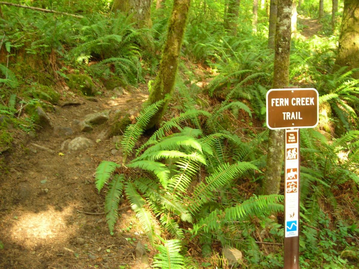
| ThankWent a few days after it had rained and the horses definitely ripped up the trail. It made climbing difficult. Fern Creek trail was probably the best, fast and flowing, did that twice. We took Amandas Trail to Looneys Trail. Probably the most difficult switch backs around these. Overall, a great experience with some great trails. Watch out for the horse mines!
| ThankPlenty of options, from hard packed forest roads to steep, technical singletrack. Fern Creek & the Rim Tie trails are my favorites: flowing & fun. Deer Skull has tough climbs. The Rim trail is a great ride when ridden from the Loop Trail/Bear Woods Loop intersection back to Hardy Creek Trail and TH. A continuous climb the opposite direction and it is crazy hard the other side of Bear Woods Loop. Though the northern trails can be accessed from Hardy Creek TH it almost requires bushwhacking to reach them. Better to start at Amanda's TH which is really just a small turnout with room for a couple of vehicles. The immediate climb is worth it! All singletrack trails are closed October 15th thru April 15th.
| ThankI love horses, but they can really tear this trail up. Rode there recently and many parts of the trail were difficult to ride due to horse after horse stirring up the mud. Add to that the plethora of road apples they leave behind. I love the trail for sure, but it's best in the summer during the week.
| ThankThis is a fun network of trails that gives a lot of diverse riding. Short climbs, good downhill, some technical. Definitely worth doing. Just don't go when it is too wet as the climbing could be tough and the horses rut it out.
| ThankThis is a decent network of trails through the some gorgeous, quiet forest. Some of the trails are slightly overgrown making a few corners more exciting than I anticipated. The ground is soft and the grip is decent. None of the trails I rode were particularly fast, difficult, technical, or that interesting. Yet overall, this ride is an enjoyable ride. It was easy to get into a decent spin and find a flow. The climbing never is more than a few hundred feet (i think). There are several hoof prints in sections and I ran into a set of equestrians on a weekday. Be respectful and share to keep these trails open!
| ThankMy son and I rode the trail in late June 2007 and had a great time. The horses had cut up steep parts but it was very ridable and a lot of fun. We rode the rim trail its full length and then up and down several of the access trails from the main Hardy Creek Trail. It was our first time there and we will definately go back.
| Thank