×

|
Rate it:
Tags:
Level: Beginner
Length: 13 mi (20.9 km)
Surface: Fire Road
Configuration: Out & Back
Elevation: -
Total: 13 riders
Mountain Biking Mount St Helena
#301 of 1,015 mountain bike trails in California
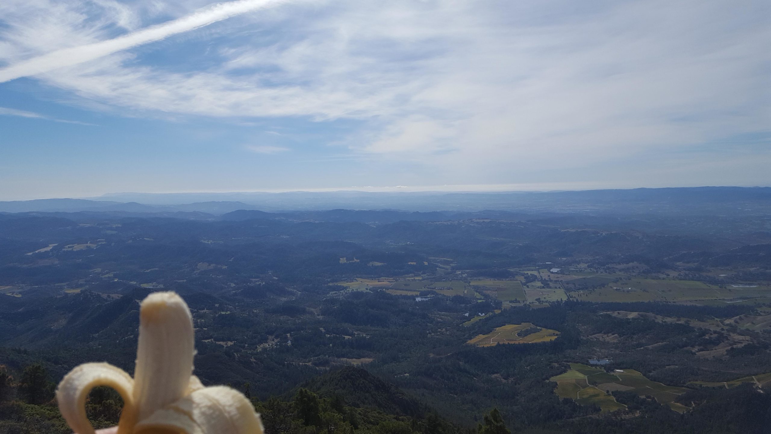
A little was north is a fire road gate to the west side of the road. Up fire road through forest 3/4 mile to first fork stay left at, 1.5 mile there is hiking trail.( not legal ) Then at 4 miles a fork to south peak Stay right to the top of North peak where on a clear day it is possible to see Lassen, the coast, The City, Mount Shasta. The view is worth the pain and on the way back down stop at south peak then get the brakes hot for a 2000' run to the road. Nice Single Speed burn
First added by Juan_Gear on Jun 12, 2005. Last updated May 10, 2020. → add an update
Before you go
- Drinking water: unknown
- Lift service: unknown
- Night riding: yes
- Pump track: unknown
- Restrooms: unknown
- Fat bike grooming: unknown
- E-bikes allowed: unknown
- Fee required: unknown
This trail information is user-generated. Help improve this information by suggesting a correction.
Off of hwy 29 between Calistoga and Middletown There is parking for Robert louis Stevenson Memorial State Park.


Nice steady 2,000 foot 5 mile climb on a fireroad.
| ThankThis is one of those out and back rides that is all up then all down. 5+ Miles. This is also known as Robert Louis Stevenson State Park. If your looking for exercise and views of Napa and Lake County's you wont believe than you have to do this at least once. Also, Just one of the pics you see on this page are actually St Helena (Fire Road heading up). The others are St Helens in Washington.
| Thank