×

|
Rate it:
Tags:
Level: Beginner
Length: 10 mi (16.1 km)
Surface: Singletrack
Configuration: Network
Elevation: +205/ -226 ft
Total: 62 riders
Mountain Biking Leon Creek
#80 of 282 mountain bike trails in Texas
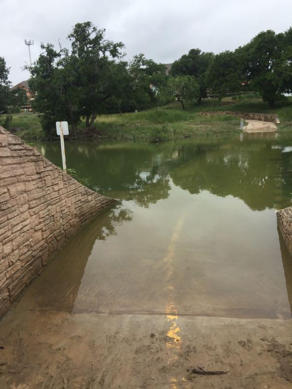
Most of this trail system does link up with only pavement crossings and you can take it any which way at different degrees of difficulty. Beside that, it is always being expanded and towards the end of most weeknights you can spot trailbuilders starting to gather up and get to work. Once the paved part of the trail fully links to Cathedral Rock there will be almost 15 miles worth of trail ending at Cathedral Rock where ther is also some existing singletrack. Most of the trails off of Leon Creek are either hardpack dirt, loose rock or solid rock creekbed. While its not very hilly there are some sweet little creek crossings (that nearly ever have water in them) serving as fun additions to your ride. If you find your way through a patch of thickets you will also find another paved trail with more singletrack spurs on the other side of the creekbed. Closer to Bandera Rd, the paved trail veers right and links to the OP Schnabel Park Trails.
First added by djeneration on May 12, 2011. Last updated May 9, 2020. → add an update
Before you go
- Drinking water: unknown
- Lift service: unknown
- Night riding: unknown
- Pump track: unknown
- Restrooms: unknown
- Fat bike grooming: unknown
- E-bikes allowed: unknown
- Fee required: unknown
This trail information is user-generated. Help improve this information by suggesting a correction.
Although there are off road trail crossing at several point s on the greenway, the best place to start to access the majority of this trail system is the Trailhead near De Zavala and Babcock. Take the paved trail south and you'll find lots of different off-road spurs, which often follow the paved trail but will also lead to different areas of varying difficulty. You can also head just a little north, under the Babcock Rd bridge and when you see the paved trail veer left you will see different spurs off of the main trail and that left fork that leads you to the Bamberger Nature Park loop.

Loading reviews...View more