Trails
Reviews
Tips
Community
Deals
Latest
Support
Trails
Find trails
Best bike trails
Destinations
Add a new trail
Reviews
Mountain bike reviews
Components
Tires
Clothing & shoes
Helmets
Accessories
Product news
Community
MTB Clubs
Races & Events
Bike Shops
Tips
Skills
Fitness & Training
Health & Nutrition
Beginners
Repair
Latest Articles
Podcast
Deals
Support Singletracks
Sign in
Create an account
About us
Newsletter signup
Trails
Mountain bike trails.
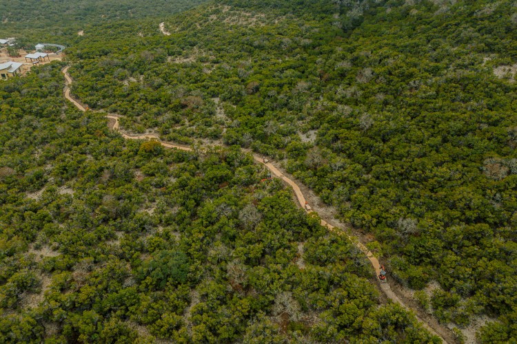
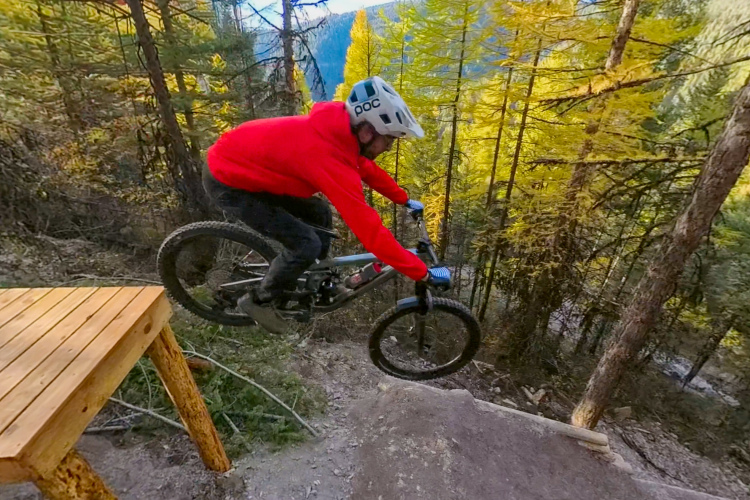
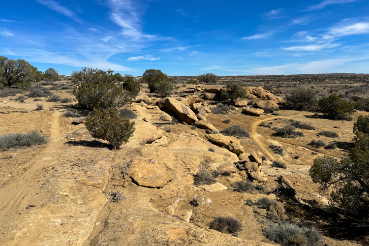
New Mexico
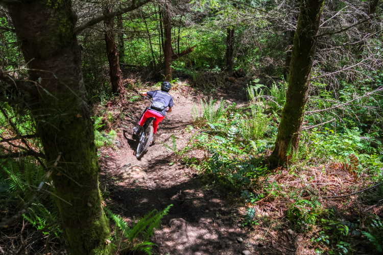
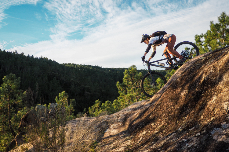
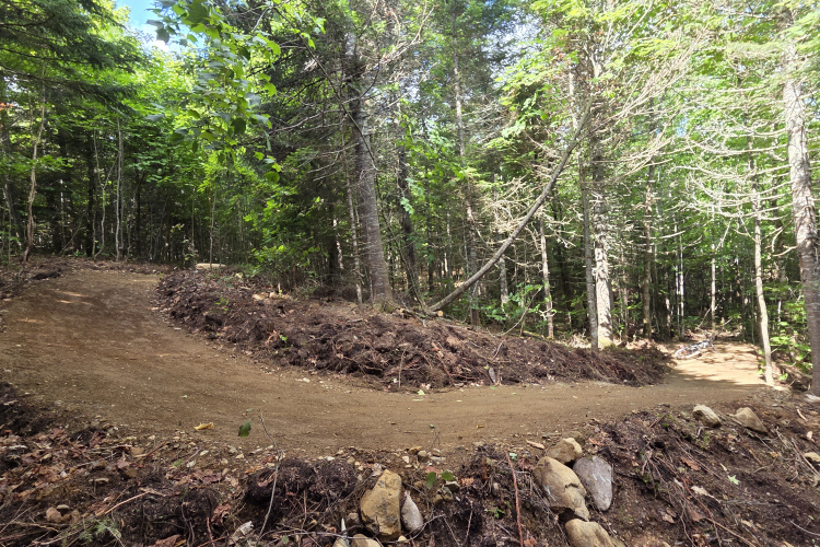
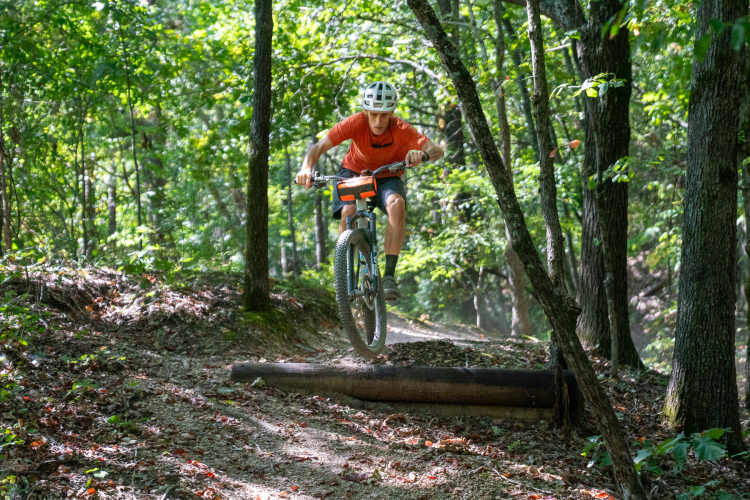
The popular Boneyard Trails were closed for years. Now, they’ve been legalized and reopened to mountain bikers
6
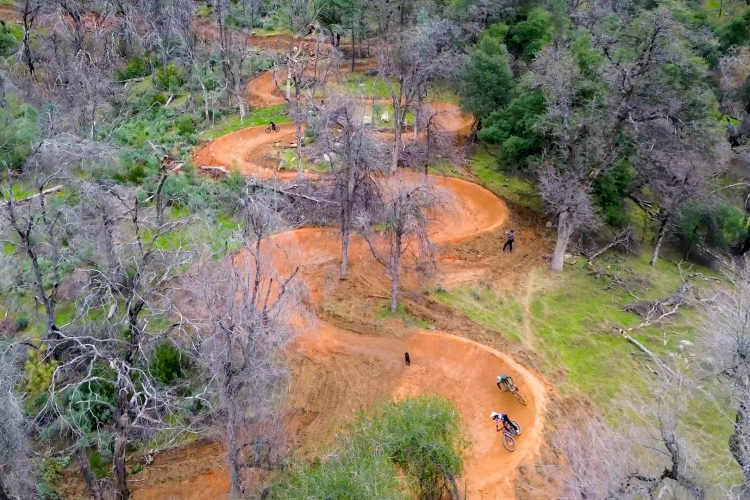
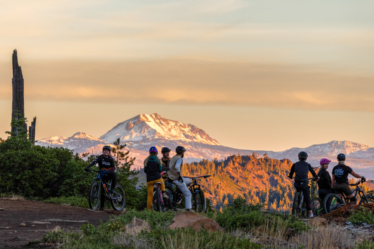
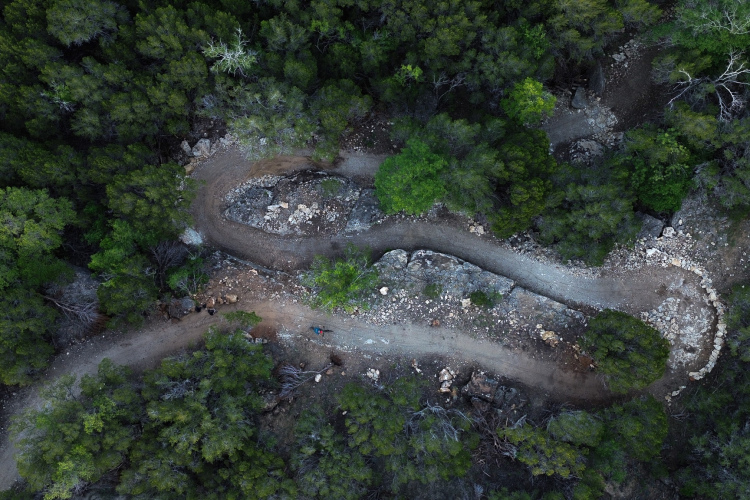
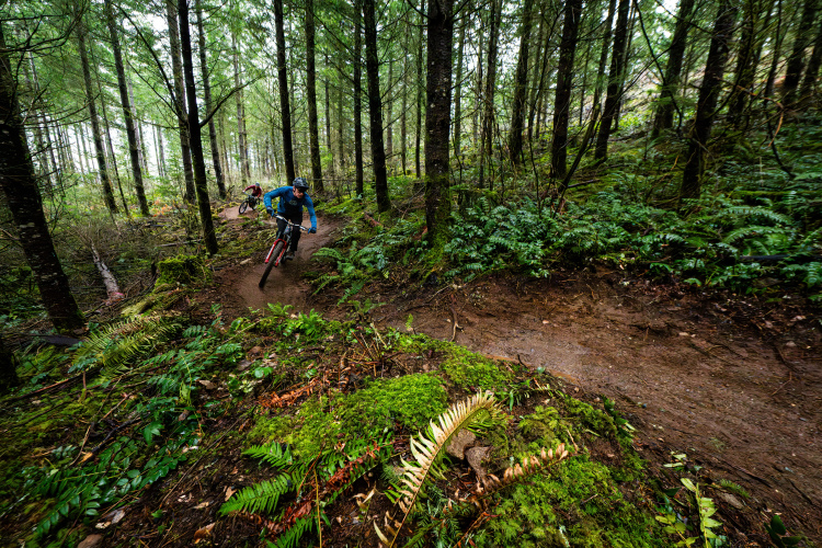
Oregon
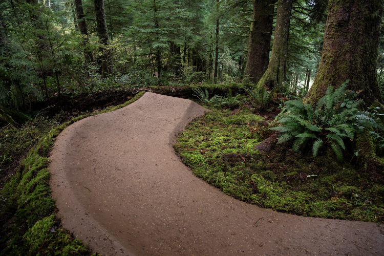
New pro-built trails are coming to Buzzard Butte, part of a 35-mile vision for the Oregon coast
2
Ohio
5 of the best mountain bike trails in Ohio
5
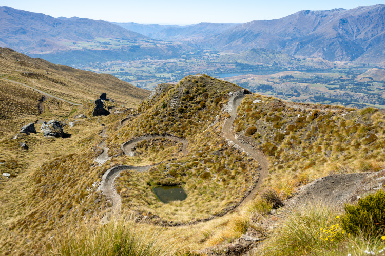
New Zealand
The popular Whakarewarewa Forest Loop ‘Great Ride’ is now 100% on dirt thanks to a $500,000 investment
California
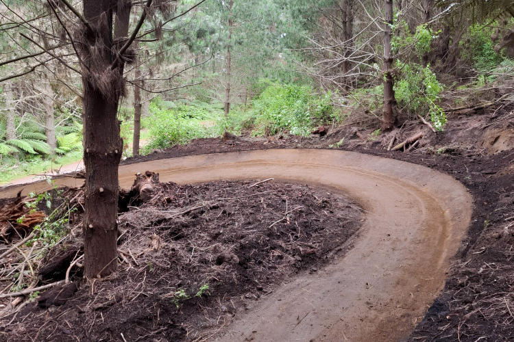
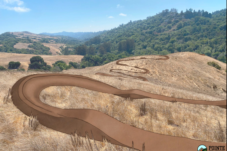
The public comment period is open for the Wildcat Canyon Regional Park flow trail
5
Washington
Millions of dollars in trail maintenance funding have been cut in Washington state
1
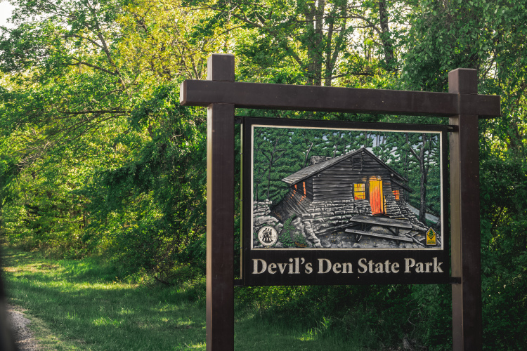
Arkansas
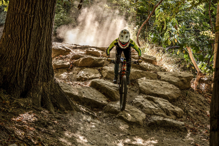
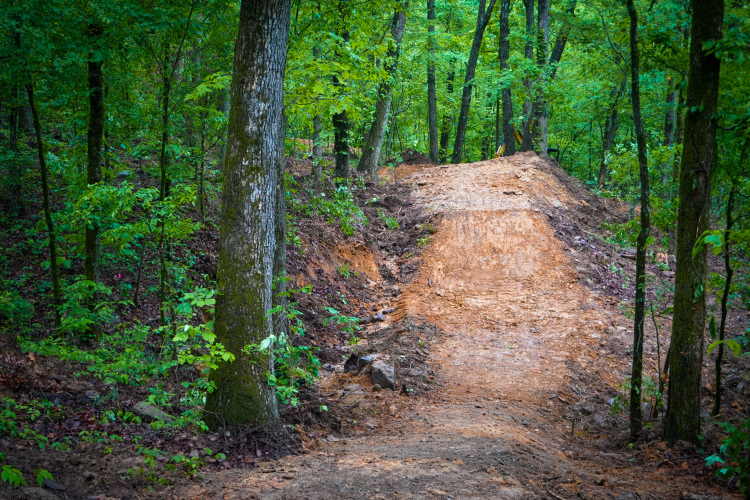
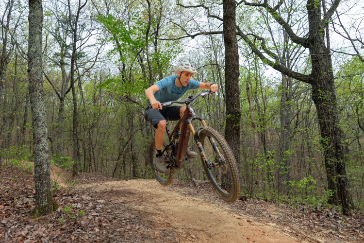
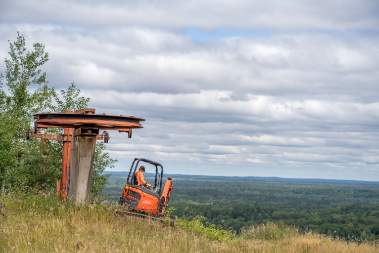
Mulberry Mountain Gravity Park opens in the Ozarks with 600 vertical feet of downhill trails
Sponsored
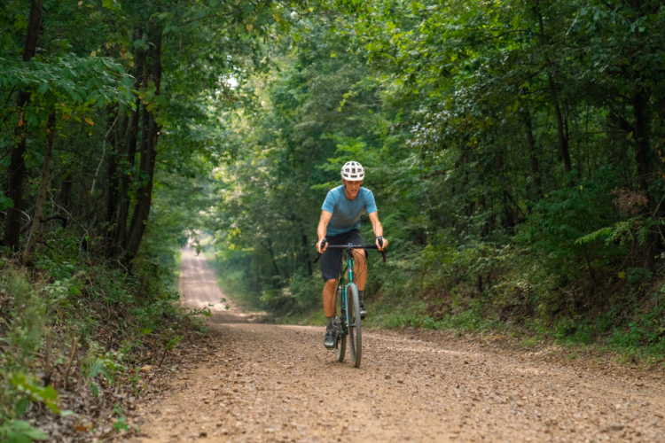
Eastern Arkansas has over 4,000 miles of unpaved roads and trails. Bring your gravel bike.
Colorado
Volunteer MTB trail builder in Colorado attacked, crushed by cow
2
Spain
Winter mountain biking in Spain: Why Santa Coloma de Farners belongs on every American rider's bucket list
3
British Columbia
The Shimano Trail Born Fund’s one goal is to ‘produce more mountain bike trails’
2
New Zealand
Coronet Peak has just completed the first of 15 new MTB trails
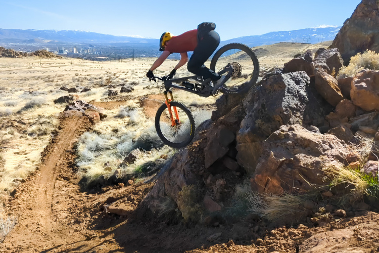
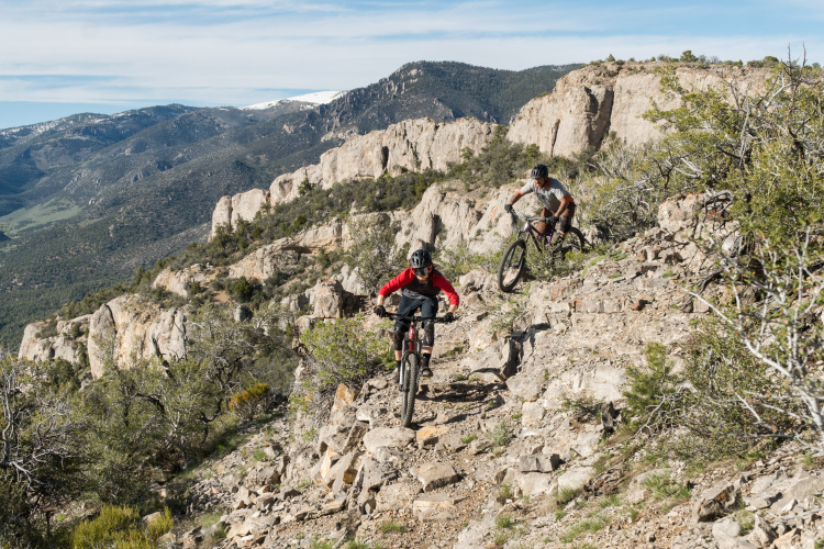
Nevada
Reno's Peavine Mountain MTB trail system is expanding to 70 miles of singletrack
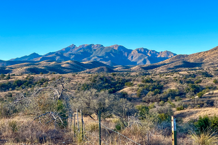
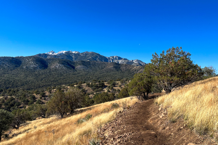
Arizona
How the Arizona Trail Association's tribal-first approach flipped the script on trail design
Colorado
Over 200 miles of famous Colorado MTB trails could soon open to e-bikes
2
Nevada
5 of the best mountain bike trails in Nevada
3
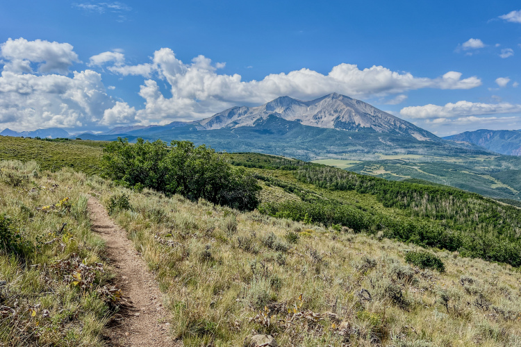
Arizona
The Verde Valley Circle Trail will be a 180-mile bikepacking loop in Arizona
3
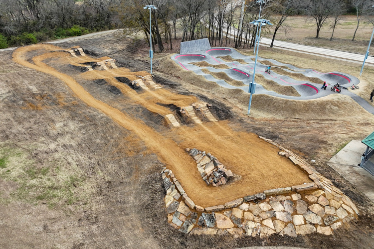
Texas
Rock Solid is attempting its 'most ambitious project ever for a single season'
3
California
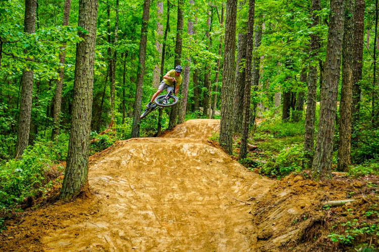
Chico, California's new Humboldt Drop trail offers 5 miles of must-ride downhill flow
2
Maine
New Pleasant Pond trail system will bring 18 miles of MTB trails to Island Falls, Maine
Arizona
Arizona Trail reroutes dirt road sections onto new singletrack as side-by-side traffic explodes
3
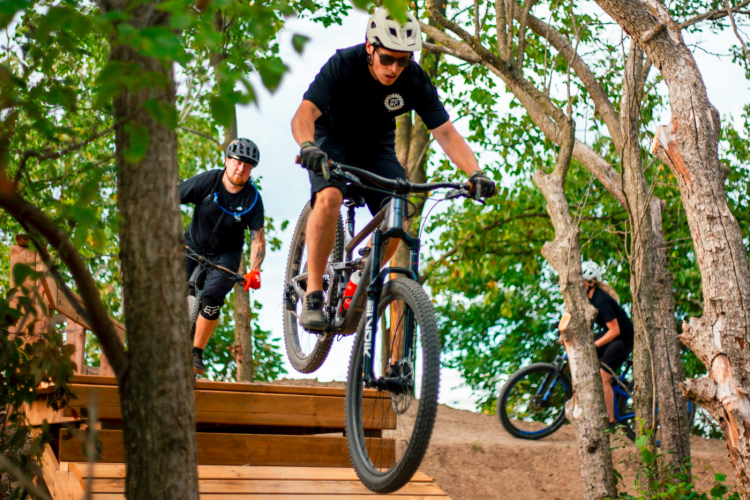
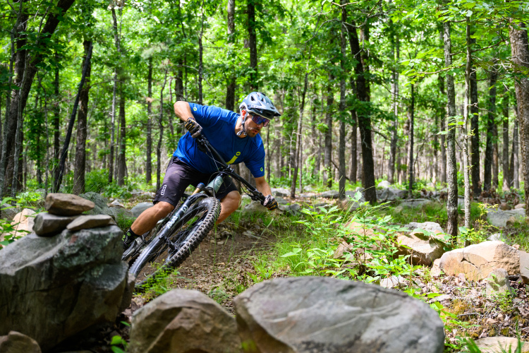
Alabama
5 of the best mountain bike trails in Alabama
10
Mountain Bike Trails
Where are your favorite mountain bike trails located?
9
Mountain Bike Trails
Remembering a trail building pioneer: The life and legacy of Ed Sutton
3
Alberta
Baseline Mountain's historic Canada Cup downhill race track gets a $115,000 makeover
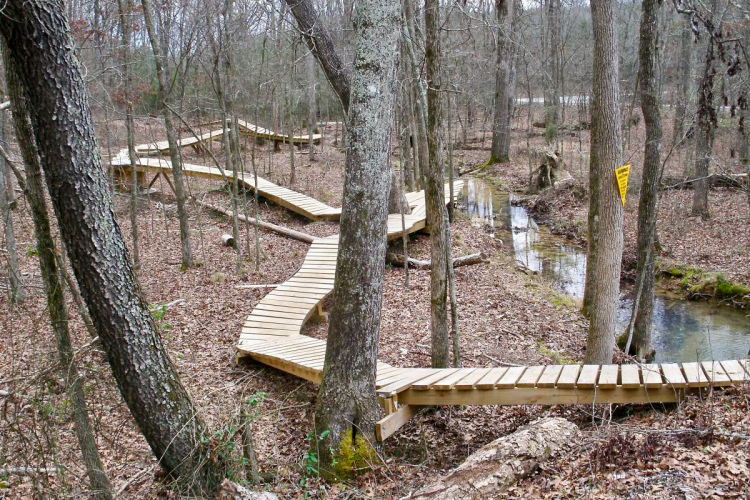
Maine
Patten, Maine, gets $260,000 grant for new MTB trails at Peavey Brook
1
Texas
Palo Pinto Mountains State Park in Texas is opening soon with 16 miles of MTB trails
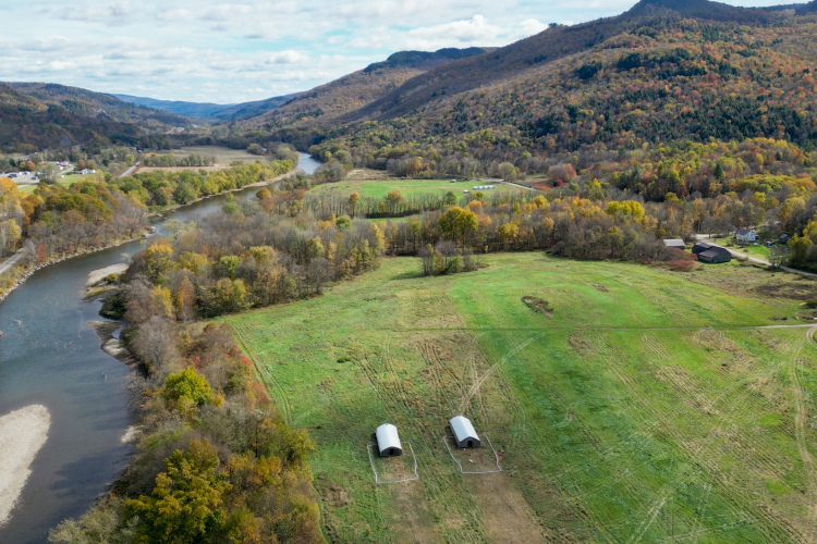
Vermont
One Vermont farmer shares advice for others looking to open their land to mountain bikers
5
Ontario
An Essex County, Ontario, MTB club raised $200,000 and built 8km of trails in just 3 years
Washington
Galbraith Mountain adds 5 new trails and 2 major rebuilds in 2025, with 20 more miles planned
2
Maine
New MTB trails coming to Millinocket, Maine: $450,000 will fund 6 miles of gravity riding
1
Ohio
West Branch State Park near Cleveland, OH, gets 8 new miles of trail and a complete overhaul
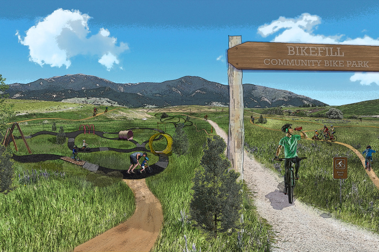
Montana
Hundreds of kids have nowhere to ride in Bozeman, MT. So a $4.5 million bike park is being built
3
Texas
How Binkley Bike Park transformed Sherman, TX, from trail desert to regional MTB destination
2
Idaho
Panhandle Bike Ranch blocked from building bathrooms in latest Idaho county legal battle
1
Vermont
Maple Wind Farm in Richmond, VT, transforms private land into a technical MTB trail network
2
California
Marin County opens new $650,000 bike-only flow trail after 10-year wait
5
Arkansas
Craighead Forest Park is eastern Arkansas' premiere mountain bike trail system
Michigan
Over 1,600 US ski resorts have been abandoned. Now, many are being reborn as MTB trails
34
Georgia
Another billionaire family foundation is funding MTB trails, but this time it's in Georgia
7
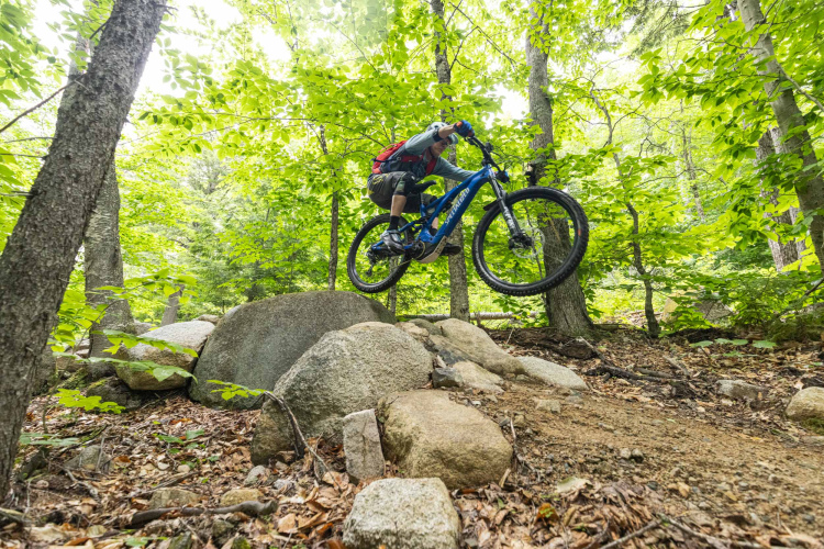
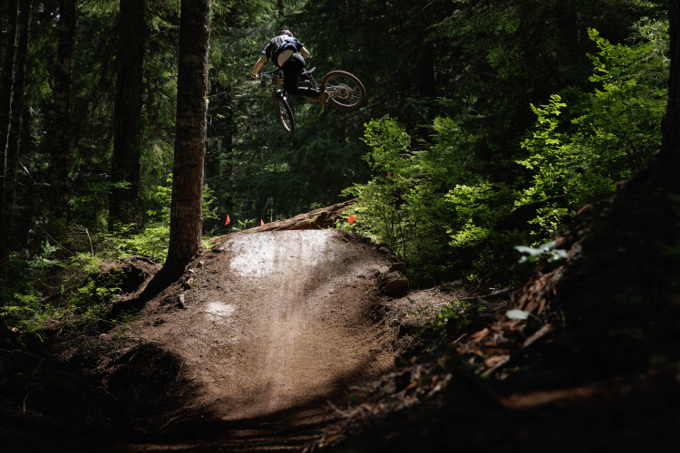
Oregon
Fear and Loaming, Gnarstow, and Bat Country are Oregon's newest must-ride MTB descents
2
Sponsored
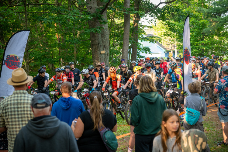
The Salty Marie Trails Fest keeps mountain bike racing accessible and authentic
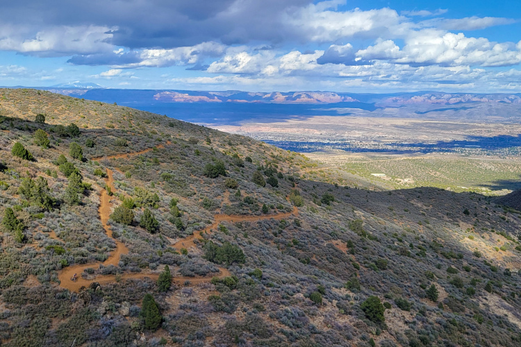
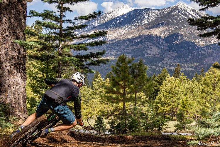
Arizona
Flagstaff's new downhill MTB trails will offer 1,200 feet of vert and legitimize an infamous illegal trail
Pennsylvania
Ridgway, Pennsylvania, is getting 10 miles of new MTB trails thanks to a persistent bike shop owner
1
California
Bend and Tahoe have opened 273 miles of trails to e-bikes
6
Montana
The Marshall Mountain land deal almost killed Missoula MTB, but sparked a trail building boom instead
7
Arizona
I rode in 8 countries and 12 states in 2025. Here are the best MTB trails I explored
9
Tennessee
After public outcry, Enterprise South in Chattanooga, TN will remain open to mountain bikers
1
«
1
2
3
4
…
48
»
 6
6