×

|
Rate it:
Tags:
Level: Beginner
Length: 3 mi (4.8 km)
Surface: Singletrack
Configuration: Loop
Elevation: +146/ -230 ft
Total: 95 riders
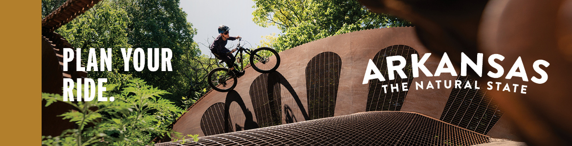
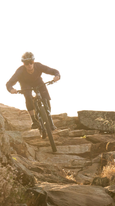
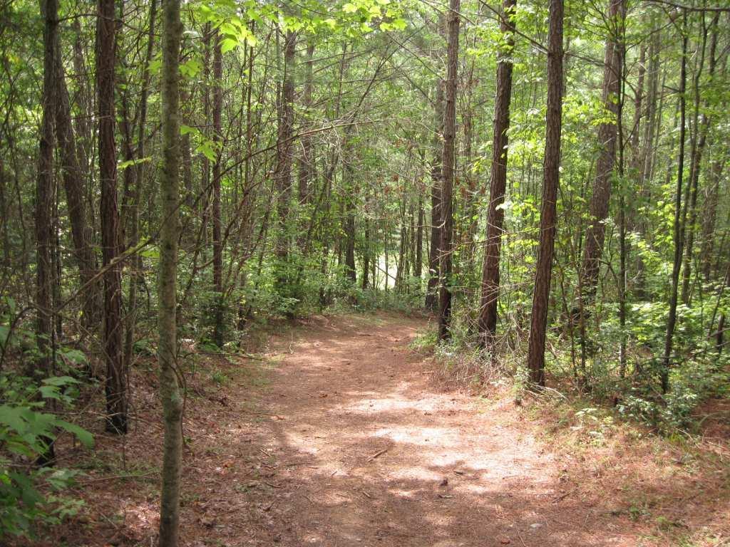
Mountain Biking Woodring Branch
#44 of 407 mountain bike trails in Georgia
From the pdf: The Woodring Branch Trail is a 3.5 mile loop that is of easy to moderate difficulty. Walking time to complete the trail is approximately 1 hour. Trailhead parking is located on a short dead end spur road approximately 3.2 miles after turning into the Woodring Branch Recreation Area off Hwy 282/76. Good lake views and two small streams are found along the trail The trail is open to hiking and mountian bikes. http://carters.sam.usace.army.mil/maps/05wbtrweb.pdf
Trail is short and sweet. The front half is fast singletrack with a few short quick hills to climb. The back half is a series of slow climbs that closes with a nice leg burner at the end. Great trail to loop a few times while camping at Carter's Lake with Ridgeway close by for variety.
First added by jasonhwest on Sep 25, 2005. Last updated May 10, 2020. → add an update
Before you go
- Drinking water: unknown
- Lift service: unknown
- Night riding: yes
- Pump track: unknown
- Restrooms: unknown
- Fat bike grooming: unknown
- E-bikes allowed: unknown
- Fee required: unknown
This trail information is user-generated. Help improve this information by suggesting a correction.
From Atlanta:
I-75 north to exit 293, then right (north) on Hwy 411. Continue north on 411 and turn right at Hwy 136 then left just after railroad crossing (old Hwy 41 1). Continue on old Hwy 41 1 then turn right on Hwy 282/76. Turn right off 282/76 at the Ridgeway entrance sign.
OR
I-575/5 north to Ellijay, exit in Ellijay and take 282/76 west and turn left at the Ridgeway entrance sign.


This is a fun flowing trail that we did a team practice time trial on. Nothing too crazy in the way of trail obstacles other than some loose gravel in the corners. There is one short root section that will challenge a novice rider!
| ThankGorgeous fun ride along the lake
| ThankGorgeous
| ThankI really enjoyed this. Headed to this one after riding another trail nearby. I think this needs to be renamed - it is Amahady, not Woodring, was wondering why I hadn't seen it on this site. Non directional, so I chose CCW, was worried about a big climb back out because I started off with a nice rolling descent. No worries, not too bad. A tree is down at the half way point, no way around it, but easy to climb over. The lake is right there... one false move and you would be in it. It has rained quite a bit lately, but this trail was in excellent shape. Roots were slippery of course, but no puddles or mud.
| ThankNice easy trail.
| ThankNot a bad little loop to start out with. Brought my 7 year old son but not ready for this trail yet.
| ThankFun ride for beginners or if you want a quick run.
| ThankTrail is fast and flowy. Views of the lake are beautiful. Good beginner or intermediate trail. I rode clockwise and the flow was good.
| ThankBeautiful views of Carter Lake can be distracting! Descent at the start is really fun, fairly flat around the middle, and a very gradual (but eventually noticable!) climb back to the trailhead. Great beginner/intermediate trail for me (about as difficult as I can handle personally), but my much more advanced boyfriend rode it too but did two much faster laps and enjoyed it.
| Thank"...and of course no wife...lol". I feel sorry for your wife.
| ThankGreat trail for beginners and younger riders or if you are more experienced and want to run some fast laps in a great settiing this is the trail for you.
| ThankI would call it a beginner/intermediate trail. Had a lot of fun and they are expanding the trail. No obstacles in the trail. Clockwise for some fast downhill and counterclockwise for a good leg burner.
| ThankEnjoyed the ride very much. Two small downed trees from a storm a week ago but you can get around them easily.
| ThankFast flowing trail good to do as a everyday trail if you live nearby or are in the area
| ThankAwesome singletrack. Gets a little narrow for about a quarter mile. I reccommend riding this trail if your about an hour away. I can't believe i only live thirty minutes away....
| ThankQuick little loop that really flows. I wouldn't go to just ride this trail, but if you're in the area why not give it a shot?
| ThankGreat trail. Nicely cut around some of north Georgia's most beautiful landscape. Could have worked the mid sections up some of the steep elevations for a more challenging ride. Well kept, especially after the storms dropped some lumber over the track. Thanks! Very quiet. I saw only two people walking dogs on a crisp october Sunday in peak leaf season. Definitely worth the drive from north Atlanta, but ride it once for the views and second for the speed.
| ThankThis is an excellent little trail with gorgeous views of the lake! While it is mostly smooth and crazy fast, there are a couple of rooty, rocky sections thrown in. This is superb bench-cut singletrack that is designed to flow like crazy... Come out here, drop the hammer, and set a new speed record!
I just wish it was longer...
| ThankThis is one of my favorite trails in north GA. If you can't have some fun here go ahead and turn in your bike. The flow of the trail just works and makes the small climb out worth it. The elevation begins and ends at roughly 1,250 and drops to 1,100 for a steady ride in the middle. The trail is well maintained. A recent storm had trees blown down everywhere but the trail was completely clear of trunks since they had cut them away.(Thanks whoever you are). I clocked the trail at 3.7 miles after an average of 3 rides.
Go ride it.
| ThankNicely done trail, fast in a lot of sections. We rode it counter-clockwise, which gave us some nice downhill at the start, some ups and downs in the middle, and then a good lung and leg workout climbing back out. Riding it clockwise would give you a somewhat rocky downhill, making for a bit more technical of a descent, and then a smooth but pretty easy climb back out. There were a couple trees down along the trail on the day we went; you had to climb over one. Other than that, this trail is fun as heck, has some beautiful views, but is waaaaay to short. This is a great ride the day you arrive in Ellijay and if you don't have time to hit a longer trail. No restrooms at the trailhead, but the Woodring Branch rec area has 'em (just down the road) and has some beautiful picnic tables, so pack a lunch and head down to the boat launch area after you ride. Beautiful area. Wish the parking lot was a bit more rider friendly- throw a couple picnic benches in there and cut some more trail out there, and this place will be amazing.
| Thank