The Wildcat Gap trailhead can be reached two ways: 1) From the forestry lot, ride up Bear Meadows Rd. and turn right at the first gravel road, Laurel Run Rd.. Continue approximately 3 miles up and over Little Flat mountain and continue down the other side another mile or so. Take the first road to the left, Bear Gap Rd., for a nifty climb up to the Wildcat Trailhead. The trailhead is on the left side of the overlook. 2) For a mellower climb, from the forestry lot, climb Bear Meadows Rd. approximately 3 miles, beyond where it turns to gravel, and take a right onto North Meadows Rd.. Go around the gate and proceed up North Meadows Rd. for approximately 2.5 more miles, passing a nice vista to the South. At the top of the hill, continue to the right on Ghettis Ridge Rd. and climb over the top of the ridge. At the intersection of North Meadows Rd. and Bear Gap Rd., take a right and roll down the gravel a couple hundred yards. The vista and accompanying trailhead are on the left. The trail itself is a steep speedster, finishing with a nasty rock garden before rolling down a cabin driveway back to Laurel Run Rd.. Take a right to climb back out on Laurel Run Rd. just as you came in, possibly adding a trail from Little Flat Tower to add some fun.

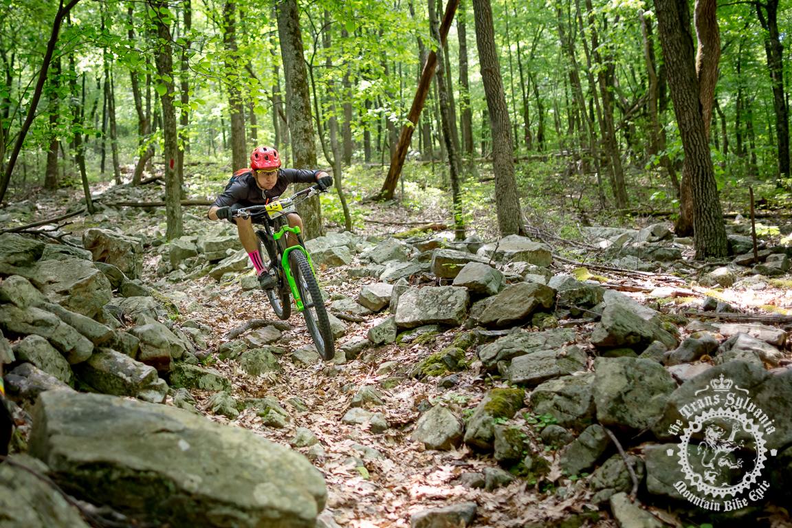
Serious rocks!
| ThankHold onto your butts, this is a wild ride!
| ThankMAP: http://www.purplelizard.com/
| Thank