singletracks is mountain biking
 
Trail is --
 
  
Avg Rating: 3 trail reviews
Difficulty: Intermediate bike trail - Intermediate
Length: 19 miles Global Rank: #1126
Tread: Singletrack Configuration: Loop
Ridden: 5 Wishlist: 10
0 trail check-ins Climb // Descend
+3,000 // -3,100 feet
Average Speed: 5.2 mph Average Time: 3hr 34min


Directions
To view directions to Three Forks Trail mountain bike trail, please login. If you don't have an account, sign up for a free account - it only takes a minute.

Description
Awesome trail! The summer wildflowers were spectacular and over our

handlebars.

Be aware of the Guardian Sheep Dogs. We didn’t have any problems but

elsewhere in the state there have been a few especially with dogs.

Nothing technical but this ride is definitely a sleeper. We rode Three Forks

as a loop but it can also be done as an out and back. Ride back down to CR

217 turn left climb through a cool narrow canyon continue on to Triangle

Park and turn left on FS 211 to three Forks Trail. We missed the singletrack

on the way up. Thought I was looking for a road. Watch for it on the left

about ¾ way up the hill. It would make the ride shorter but add more

singletrack.

Pick up a map at the Tourist Information Center just off I-70, the Forest

Service center, or at the bike shop on Rail Road Ave

added by lostcause Doubletrack on October 27, 2010

Trail Reviews   [Add a review]

wrestle203 on August 13, 2012
0 out of 0 readers found this useful
 
Review: 3 forks was a great trail. Made a day of it. caught several fish, saw a mountain lion 50 ft away. The trail was over grown from little use. the climb was worth the downhil reward. plan to do the loop next.
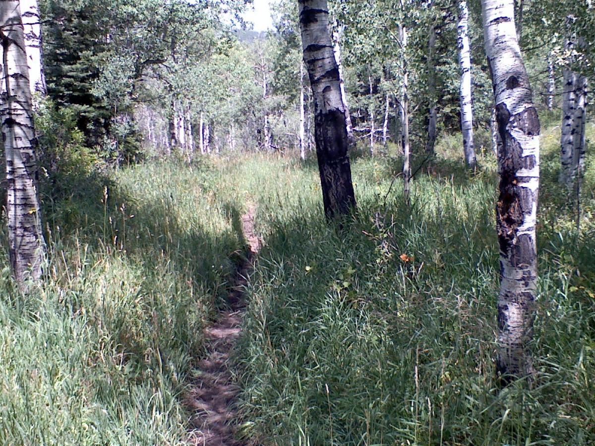
Was this Review helpful? Yes | No
 
spinjunkie on August 5, 2012
0 out of 0 readers found this useful
 
Review: Just rode TFT in Rifle. To get to the trail, it's best to stop in the visitor's center just off I-70. The lady there was nice enough to make a copy of the directions to get to the trail head and a rudimentary topo map. Briefly, from Rifle take HWY 13 through the center of town and make a right onto 325 (I believe it is marked 325 E). Follow the road past Rifle Gap, Rifle Falls and Rifle Mountain Park. Also pass the Fish Hatchery. The road up through the canyon is also known as 217. You will pass many climbing areas and campsites. Ultimately you'll pick up signs for "Three Forks Trail". Follow the signs. The road will eventually "Y" and this will be the trail head. I rode this as an out and back. If you choose to loop it, follow the other suggestions here, but keep in mind you will be riding Forest Service roads. From the trail head, be sure to cross the first creek you come to either via the creek itself or a bridge a little further up. The trail splits a few times at the beginning and if you continue to stay left, the trail will eventually disappear and dead-end. As you follow the trail, it will be marked with posts "2150". After you go through the gate warning you about the sheepdogs (I encountered none on my ride), it's fairly self-explanatory. You'll encounter signage to guide you. The only other suggestion I can offer is there is one point where the trail splits in a gulley just before you climb up into the Aspen forests. Although it may appear to you, the line to the right is not the trail. You'll know the area by extremely soft patch of mud and then the trail will lead straight up into the Aspens. If you're bushwhacking and struggling with the grade, you might be on the wrong trail. Go back down and take the trail to rider's left along a embankment and it will switchback up the mountain and into the Aspens. Overall the trail conditions are pretty buff, with the center being cupped out and some overgrowth in spots. The ride eventually ends at Bar HL road. I then reversed the trail and ran back down the way I climbed which was a nice, long descent. I didn't get the temperature reduction I was hoping for by getting out of GJ on a 100 degree day. It was only about 10~12 degrees cooler. I would pack bug spray. If you stop, they will eat you alive. I agree with other reviewers, the trail doesn't seen to get a ton of use and can be grown over in spots. I never encountered another trail user during my ride.

Similar Trail: TFT is similar to Turkey Flats or West Bench

Was this Review helpful? Yes | No
 
gwsrida on June 12, 2012
0 out of 0 readers found this useful
 
Review: Trail is easy to find but seems to be a low traffic trail. Keep going straight through all the camping areas to trail head. Moderate climbing up all the way (a little less than 6 miles from parking lot), to and through a really nice Aspen tree forest. Keep going until you find the sign at the top. Turn around and bomb the really narrow single track you just rode up, being aware of the creeks you can ride through and occasional fallen tree. Fun ride worth the views and scenery, alone...

Was this Review helpful? Yes | No
 

Recommendations

Lunch Loop / Tabeguache (100%)
West Bench Trail (100%)
The Boneyard (100%)
Kokopelli Area Trails (50%)
18 Road Trails (50%)


Colorado Outdoor Lists


Copyright 2013 Blue Spruce Ventures LLC | Decatur, GA  
singletracks.com is yet another slick Review App