×

|
Rate it:
Tags:
Level: Intermediate
Length: 10 mi (16.1 km)
Surface: Singletrack
Configuration: Network
Elevation: +513/ -525 ft
Total: 27 riders
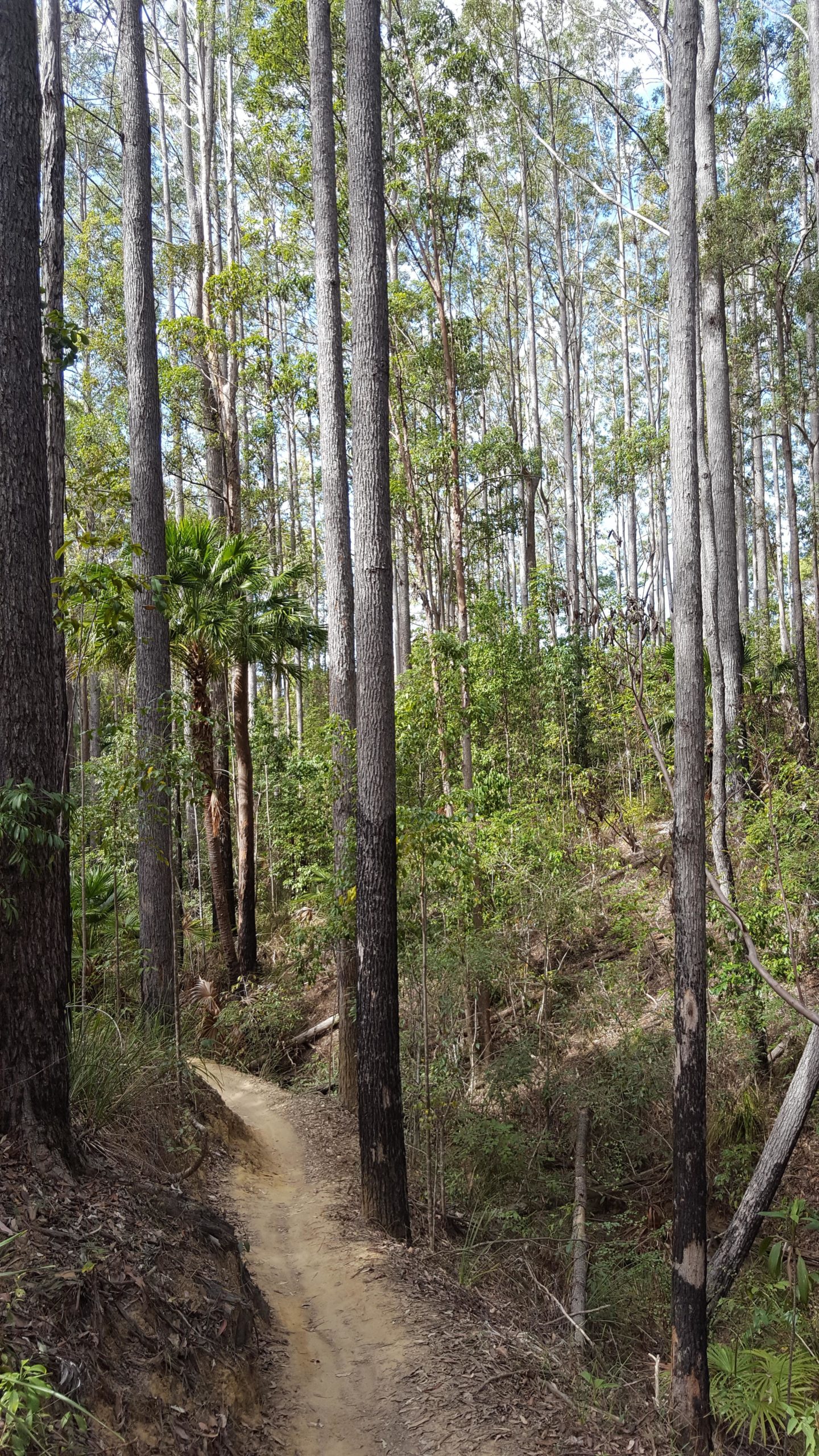
Mountain Biking Tewantin State Forest
#1 of 37 mountain bike trails in Queensland
There are fire trails that can be steep but rideable going up. Also there are numerous single tracks off these if you keep your eyes peeled. If you go from Sunrise Road about 2km from thr Cooroy/Tewantian Road there is an awesome downhill with jumps through the bush. Inspect them first as people have been known to put logs in the path of flight. It is a fun ride through some native bush from Gums to Palms. Just watch out for the odd walker and horse rider. I have seen kangaroos in there too. Have fun and enjoy.
First added by searsandrewj on Nov 16, 2005. Last updated Apr 30, 2020. → add an update
Before you go
- Drinking water: unknown
- Lift service: unknown
- Night riding: unknown
- Pump track: unknown
- Restrooms: unknown
- Fat bike grooming: unknown
- E-bikes allowed: unknown
- Fee required: unknown
This trail information is user-generated. Help improve this information by suggesting a correction.
Drive north from Brisbane on the Bruce Highway and take the Cooroy exit. At the service station turn right onto the Cooroy-Noosa Rd and travel several kilometres, almost into Tewantin. Opposite Carramar St (on the left) turn into the dirt road of the "Wooroi Forest" on the right. There is a parking area some 100m down this road, from which both forest roads and dual use walking/mtb trails start.


Awesome flow tracks with jumps and burms. Also a nice range from beginner to intermediate.
| ThankMany of the trails in Tewantin National Park have now been upgraded to make them accessible and super fun for little shreddas (and big shreddas too!) thanks to Govt grants and to the fantastic efforts of volunteers and track builders. The park now has some of the best 'family friendly' singletrack MTB trails in QLD.
Birdwing, Glider and Froglet are perfect downhill tracks for beginners and Bloodwood is more challenging. Froglet and Birdwing are smooth, free flowing singtracks with berms, with no rocks or roots. Once you've cut your teeth on these tracks, you can move up to Milkmaid and Turn 10, which are downhill trails for intermediate riders.
The Council has renamed some of the trails, so I have attached a map with the new names.
| ThankI visited these trails after several weeks of heavy rain on a rather basic hardtail hired from Spin City in Caloundra. There are three types of trails: (1) wide and mostly smooth fire roads (like Wooroi Track though there are some steeper ones like Powerline); (2) wide (1m/3 foot) dual use pedestrian/mtb trails (like Indiana) and (3) narrow (45cm/18in) single track (like Weetbix and Snake). The dual use trails are easy flowing trails, though there were quite a few trees fallen across the trails that required bunny-hopping or climbing over. The single tracks were great! The lower half encompasses a series of creeks surrounded by tropical rainforest. The rain had eroded a number of these lower trails quite badly (particularly "Quarry"). Also beware of at least one of the creek crossings: the rain had made the water murky so I presumed it was the usual few cm deep and ended up waist deep! The upper trails are in dry schlerophyll forest and can be easily reached by a tarred road-bike hill-climb (Gyndier Dr). These are much more challenging, involving swooping turns (few bermed unfortunately), jumps, drops and rock gardens. There were some steep root-ridden descents into a creek bed that pushed my capabilities (on a 4-inch travel hardtail anyway). I loved "Snake" and "Bloodwood" (though there were Forestry signs saying the latter was "unauthorised").
All in all a great 2 1/2h. I will try to return the next time I'm in SE Queensland. I used a map printed Australian Mountain Biking trails edition, a scan of which I've attached.* Review edited 6/28/2009
| Thank