×

|
Rate it:
Tags:
Level: Advanced
Length: 7.7 mi (12.3 km)
Surface: Singletrack
Configuration: Out & Back
Elevation: +213/ -1,014 ft
Total: 28 riders
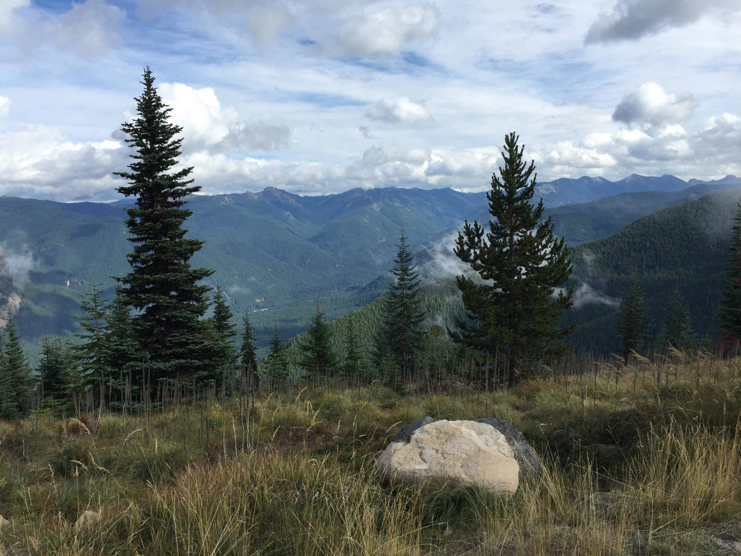
Mountain Biking Sun Top
#65 of 1,228 mountain bike trails in Washington
Singletrack off the summit comes back to where the trail crosses the road at the 5.7 mile mark.
Climb the trail for the next mile...then ~8 Miles of mostly downhill singletrack to the White River
(not real technical, but smooth and fast and beautiful scenery).
First added by stempson on Oct 19, 2006. Last updated Aug 8, 2020. → add an update
Before you go
- Drinking water: unknown
- Lift service: unknown
- Night riding: unknown
- Pump track: unknown
- Restrooms: unknown
- Fat bike grooming: unknown
- E-bikes allowed: unknown
- Fee required: unknown
This trail information is user-generated. Help improve this information by suggesting a correction.
Take Hwy 410 out of Enumclaw towards Mt Ranier to milepost 47, turn rt on FR 73. After crossing White River...park on the right at dirt pullout (Trailhead for Skookum Flats).


This trail was awesome, and the ability to shuttle it makes it better. Can get really rough as the weather can really rut it up. Can't complain too much though because the long downhill was a blast.
| ThankWhen the snow finally melts, Sun Top is one of my favorite rides in all of Washington. I do not however ride up the road, I shuttle this trail and loop back via Skookum flats. The views of Mt. Rainier, the White River Valley, Palisades and Ranger Creek can't be beat. There is no need to go all the way up to the old fire lookout unless you just want to check it out. The trail head starts with a very steep climb of about a mile and a half, you break out looking strait at Mt. Rainer, 7+ miles of single track later, your at the Randge Creek Airfield, follow the road till you're almost to Highway 410, take a left and enjoy 7+ miles of Skookum Flats. * Review edited 5/23/2011
| ThankThis is a good ride. But all of the other rides across the valley are much better for the work you put into them.
Meaning - Deep Creek, Ranger Creek, Palisades and Christoff
| Thank