×

|
Rate it:
Tags:
Level: Advanced
Length: 6 mi (9.7 km)
Surface: Singletrack
Configuration: Loop
Elevation: +394/ -422 ft
Total: 11 riders
Mountain Biking Sugarite Canyon State Park
#51 of 287 mountain bike trails in New Mexico
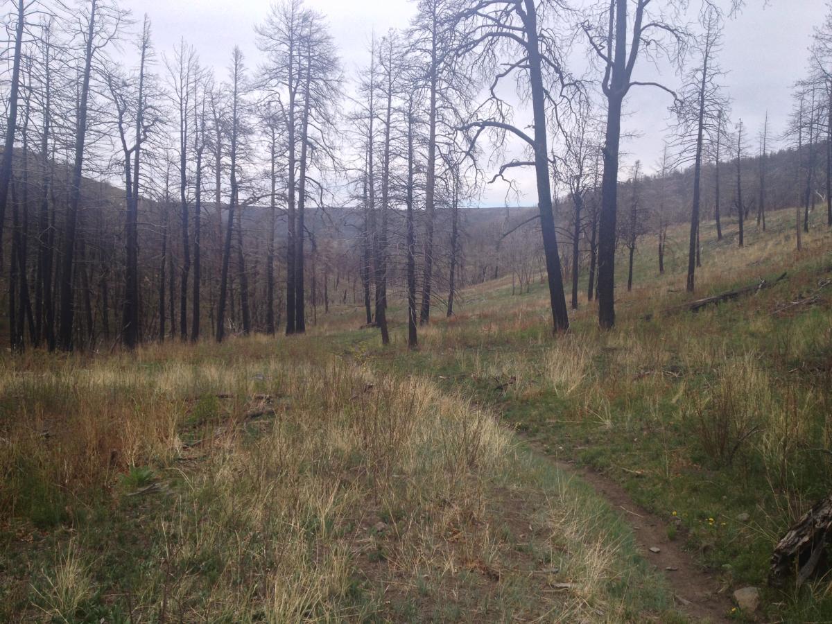
The main bikeable route is a simple 6 mile loop, best done clockwise. Look for the singletrack on the left. The dird road behind the gate is where you'll come out. There's a stiff climb through the ponerosa forest with some techy rock gardens. Then a steep, switchback drop down the northern flank of the mountain to a creek that will take back to Lake Maloya.
First added by John Fisch on Mar 19, 2011. Last updated Apr 28, 2020. → add an update
Before you go
- Drinking water: unknown
- Lift service: unknown
- Night riding: unknown
- Pump track: unknown
- Restrooms: unknown
- Fat bike grooming: unknown
- E-bikes allowed: unknown
- Fee required: unknown
This trail information is user-generated. Help improve this information by suggesting a correction.
From Raton, take highway 12 east and follow the signs to Sugarite Canyon State Park. After paying your fee, continue up the highway to the dam at Lake Maloya. Park at the west end of the dam and look for the trailhead beside the restroom.
System trails (2)


Beautiful scenery and a great ride. Some tough climbs with rock but worth the initial climb to come back down the creek canyon. Trail is rough from deer and elk tracks and very little bike tracks. A lot of rock and areas where trail is grown over with grass.
| ThankNice trail. Old jeep trail. Go left,it's steep for climbing. Go right, less steep on the climb. Fast coming down. Hope you're in shape.Elevation is about 7800ft
| ThankGreat trail.
| ThankAwesome trail. Over 500 ft elevation change. This trail connects with other mountain bike trails in the park.
| ThankTrail maint is always a challenge for the short staff at this park. We are begining to get some volunteer help and the trails are in good shape. We have added two other trails for mountain biking. The Wapiti and Lake to Lake trails.Wapiti is two miles and Lake To Lake is about two miles. Combined the Lake Alice trail and Lake to Lake, you'll have 3.5 miles. Check out the (DAD)Down and Dirty mountain bike race scheduled for Oct 14th,2017. 24 miles.Go to www.ratondad.com
| ThankOvergrown and a lot of bear scat on the trail.
| ThankBeautiful scenery and easy access to this trail off the I-25. Riding pressure is low here, so the trail is overgrown in some areas, and can be a bit of a technical challenge. Best approach: ride it clockwise from the lake. There is an initial stiff climb out of the valley, and then meanders up the west ridge and over. Once on top, you will begin a steep descent through a burned area, and then an all-out burner through the canyon and back to the lake/trail head. My only criticisms: the trail could use a little more maintenance since it appears to be seldom used, and a longer loop. This trail is too short - only a 6 miles.
| ThankThis is a surprisingly good trail, and easily accessible from I-25 and well worth a stop if you're passing through the area with a bike. The climb is long and steep enough and at over 8K feet, will work both your lungs and your legs. There are plenty of jumbled, angular rocks that make the singletrack seem more like mid-atlantic appalachia than New Mexico. A couple dismounts will be necessary for most. The descent is fast down a series of switchbacks followed by a creekside cruise through alternating meadows and ponderosa forests. This is a great ride with plenty of variety. The scenery is also pretty impressive.
| Thank