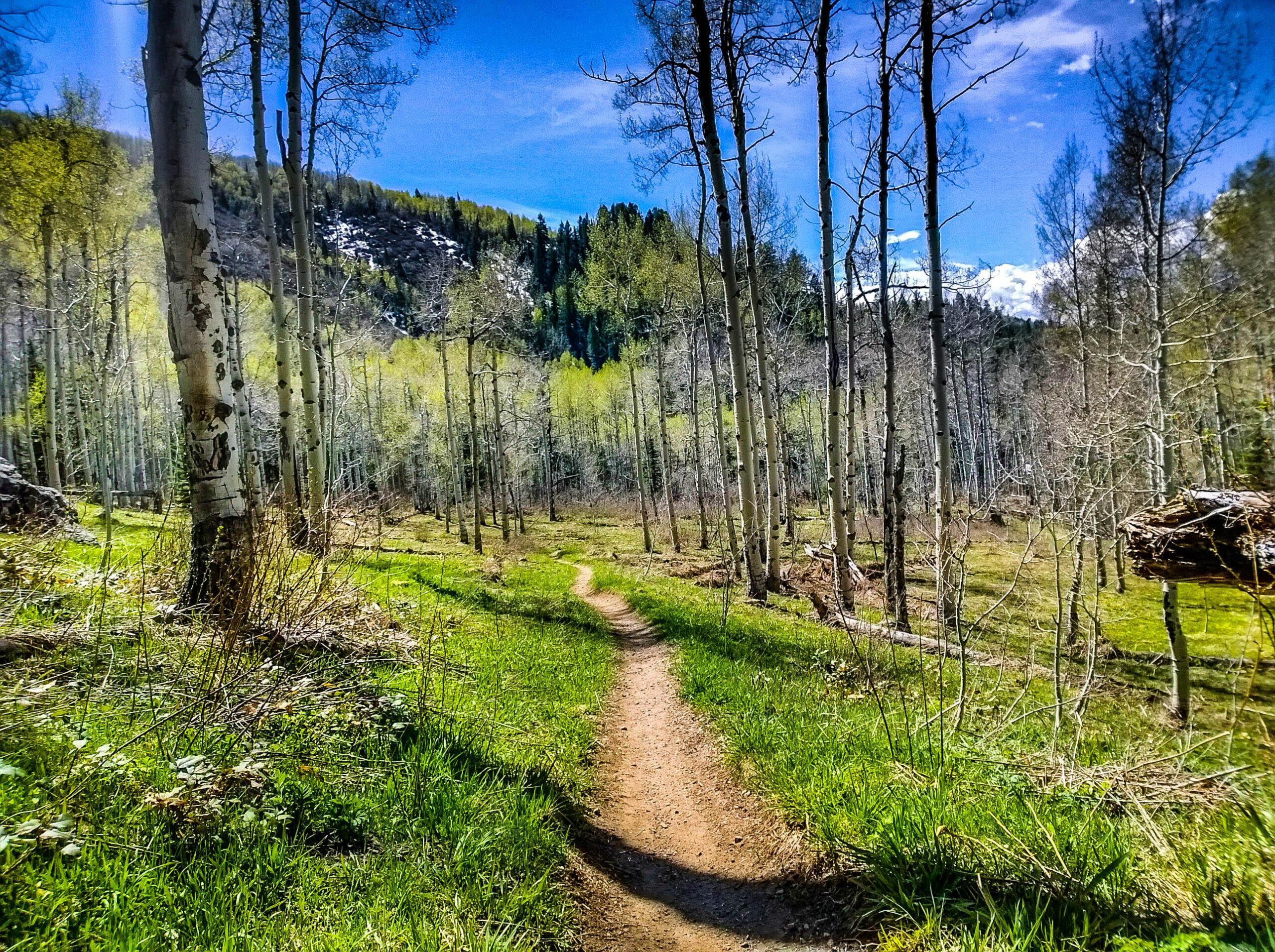
The Spring Creek trail begins as a gravel road, but in a few miles turns into sweet singletrack. The trail climbs from town all the way up to the trailhead near the Dry Lake Campground. Then, turn around and bomb back down! The descent is a blast, although some of the corners are gravelly and loose. Watch for uphill traffic, as this trail is heavily used.


Nice climb up out of town, trail gets better and better once you get off the doubletrack/gravel type stuff. Few steep pitches on the climb, not terrible though. Fast and fun descent.
| ThankOnly problem with this trail is that its not longer!
| ThankFun descent... wish it was longer! The high traffic and loose, gravelly surface on the singletrack, and dirt road lower down keep this trail from reaching 4 stars in my book.
| ThankA bit of a long uphill climb with a very rewarding downhill ride. Not very technical but a lot of fun.
| ThankRide from the bottom up to the parking lot on top. Beautiful long climb to the top. Turn around for an awsome downhill ride!! Will definatelly ride this one again.
| ThankA great piece of singletrack, some of the most fun I have had on my bike. The uphill is not that bad and the trail is very smooth and fast.
| ThankAnother really fun Steamboat ride. It gets kinda crowded towards the bottom with hikers and dog walkers, but after the first couple of miles it is mostly bikers and trail runners. One way to ride this is to start at the bottom and ride up, then come down the same way- much more scenic and longer than the alternate route. Take the Buffalo Pass road to Dry Lake Campground and descend Spring Creek. This trail is one of the sweetest, smoothest pieces of singletrack I've ever ridden- have fun and watch out for other people!
| Thank