One of the best routes here is to go to the right of the pond and take a right. In about 60 yards turn left on Rockhouse Trail. Follow Rockhouse past a few trails. Be sure to take a left across the bridge where you see Cucumbertree Trail. Follow till you come to White Oak Connector and take it. It will climb up below a rock face to the top of the ridge and Athens Trail.
Here is where you can make some decisions. You can take a right and ride all the way out Athens Trail which comes out not too far from the end of E. State Street or you can still take a right and ride a short distance and at the top of a steep little climb go left on Finger Rock Trail which is actuall in Strouds Run State Park and ride it down to Dow Lake in Strouds Run.
Or you can take a left and enjoy the Athens trail back down to the parking area. There are a couple other trails that run up and down the hill connecting Athens trail to Rockhouse Trail. You can get a map online at Athens Bike Clubs website under suggested rides. I'll try to gps some of these next time I'm over there.


Great roots and rocks narrow singletrack. All trails head downhill from the Athens trail and none of.the returns back up to Athens are easy or even doable without walking it. Basswood is probably the easiest uphill. Paw Paw has a couple big sweet jumps. White Oak has a steep sketchy end as it descends to Rockhouse. Rockhouse is totally rideable in either direction but more fun going clockwise.
| ThankGreat place to ride. Has some technical climbs and some fast fun rolling rock spots. The climbs can be a challenge but they're worth the decent.
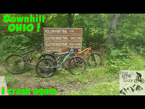
| ThankVery we'll maintained trail system. Each trailhead is clearly marked. Plenty of options for many different loops. A must do if your in the Athens Ohio area!!!!!!!!
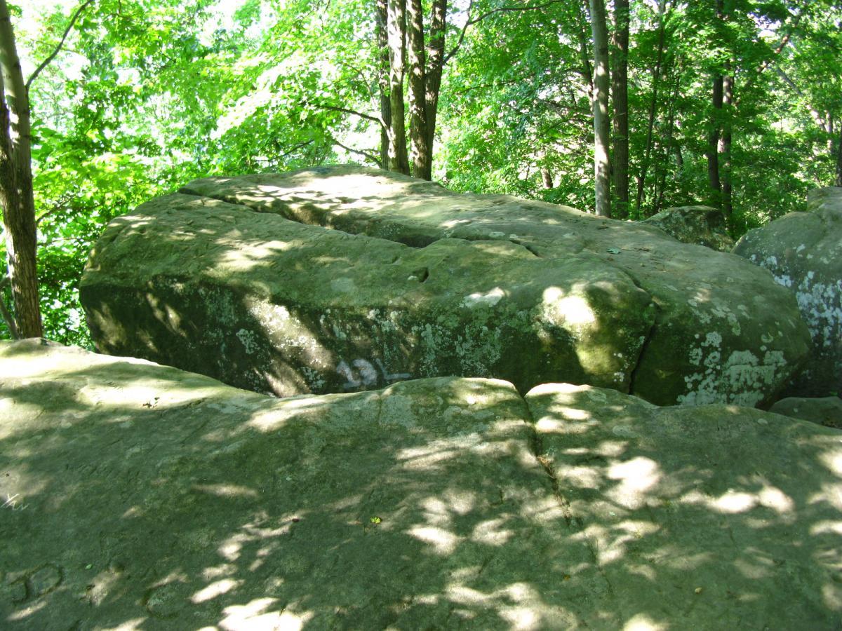
| ThankThis is a review of the Finger Rock, Athens, Rockhouse, and Trace trails. [This is a duplicate posting to the one that I posted for "Strouds Run" since those trails are on park property. Only the Athens, Rockhouse, Cucumber Tree, and Pawpaw trails leave the park. See that posting for pictures.] The trailhead of the Finger Rock trail is the very small parking lot on Strouds Run Road where the Thunderbunny trail ends. (Thunderbunny is across the road and runs north while Finger Rock is on the same side of the road as the parking lot and runs west.) Park there, which is at 39-21.160N and 082-02.897W then descend toward the creek where there is a wooden bridge that takes you to the Hickory trail. The Hickory trail splits left at the foundation of an old house and hugs the southern shore of Dow Lake. Instead, continue for a short distance until you see a small sign for the Finger Rock trail and start ascending. This trail ascends from 676 feet up to 1,076 feet where you'll eventually reach Finger Rock at 39-20.976N and 082-02.796W. This rock formation is a massive sandstone outcropping, in fact, the entire ridge is one enormous block of sandstone that outcrops in different areas to form Rockhouse and Boulder Cave. Once you've stood on Finger Rock and looked down over Dow Lake, turn away from the lake and head west up the next outcropping. You'll have to push your bike up this rock because the rock is actually part of the trail and there's no way around it. At the top you'll see that the trail runs along the crest of a ridge, meets up with the Athens trail, which is also along the ridge, and eventually reaches a height of 1,214 feet. When dry, this section of the trail is very straight and fast. Continue west until you see an evident sign on the left for White Oak Connector - Rockhouse Trail. At this point it's an easy descent down a gradual slope until you reach the Rockhouse formation at 900 feet. From this point and out around the entire southern edge of the ridge the elevation doesn't change much so it's a fast ride along the base of several outcroppings. Eventually you'll bypass the Crumley Ridge trail (that ascends to the crest of the ridge) , Boulder Cave at 39-20.593N and 082-03.919W, will cross the Rockhouse Trail - Cucumber Tree Run bridge, and ascend either to the left or right back up to 1,214 feet and reach the main Athens trail. Turn right (east) and start heading back. You'll eventually find the Trace trail that branches left and has a very easy descent down the side of the hill, past the Pioneer Cemetery at 39-20.966N and 082-03.195W, and back to the Hickory trail that you'll take back across the bridge and back to the parking lot. The creek under the bridge is a good place to wash your tires. Of all of the trails in Strouds Run State Park, this is, by far, my favorite!
| ThankI ride these trails all the time. I love Sells and Strouds Run. The Rockhouse, Athens, and Lakeview trails make for a great loop. Maintenance is pretty good throughout the year too. Be sure to stop into Athens Bicycle on Stimson Ave. for some free air and any gear you may need.
| ThankThese trails rock. Tie them into Strouds Run State Park trails for a 20 mile loop.
| Thank