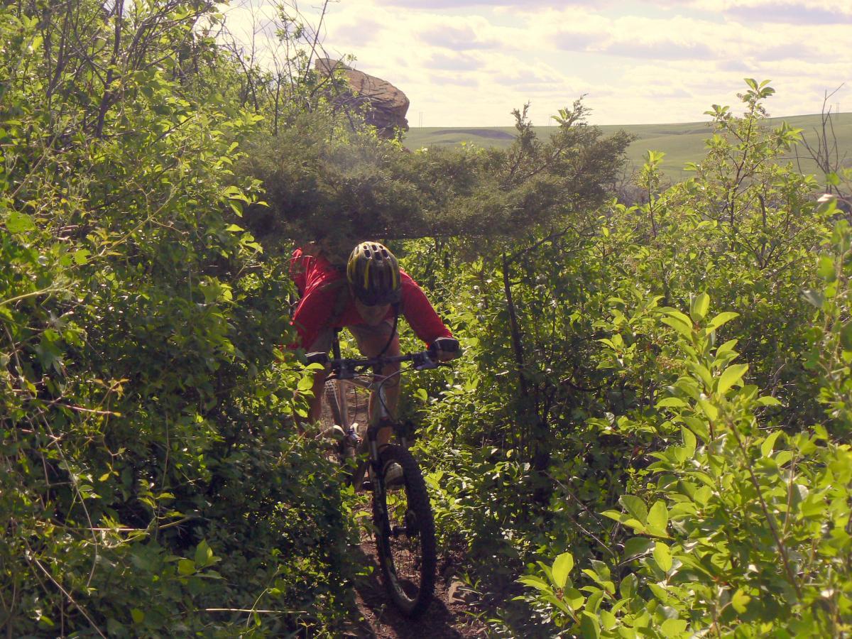
This is the number one (read, only) immediate access locals trail in Great Falls--no more than 5-10 minutes from just about anywhere in town. There are no mountains and precious few trees, but the trail does offer some technical spots, especially if you know where to look. Follow the paved path East from the parking lot and immediately look left for the singletrack. Follow the ST east. After crossing a couple paved paths, the trail will briefly turn to doubletrack and back to singletrack. Then you plunge into Whitmore Ravine, cross the bridge at the bottom and get your first taste of work as you climb the other side. After exiting the ravine, trails that branch off to the left will generally give you the most technical challenge while trails that go straight or to the right are more smooth prairie cruising. There are a few "secret" trail that branch off left--take them only if you are comfortable with technical obstacles and scary exposure. It's about three miles to the Rainbow Dam overlook, a good turnaround point for most. Or you can go another three miles or so to the Ryan Dam overlook. It's possible to continue past Ryan Dam, but then, you're really on your own in the middle of nowhere. Beware--the return trip is upstream, so there's a little more climbing than on the way out. More importantly, it's almost always windy here, and the return trip is straight into that wind. On certain summer weekends, the top of Rainbow Dam is open so you may cross and hit the dirt road on the other side of the river which then leads to the more scenic and consistantly entertaining North Shore Trail.


Epic Ride! Encountered a rattlesnake, saw a bald eagle and red tail hawk! This ride is worth it. Great technical and intermediate that connect with eachother. Bring water and food. Head wind coming back is not that bad just be prepared.
| ThankBoth River's edge trail reviews(north and south) mention crossing rainbow dam. It's actually Cochrane dam that is open for crossing.
| ThankThe previous review is pretty close. I have upped the stars on account of upgrades that have been accomplished on the trail since the previous review. The trail starts with a fun single track downhill that paralells the river. Before dropping down into Whitmore ravine bear left along the power lines (probably about 2 miles into the initial down hill run). There is an area of improved single track that takes you away from the two track and links back up with the trail near the aforementioned bridge. Climb "red rock" hill and bear left again for the single track. Beginner riders or those adverse to exposure on the cliffs should stay right. The newest trail work is called Mayhem. There is no identifying signage however the park folks have placed expert warnings up on the Mayhem trail turnoff. I am an intermediate and mix riding and walking Mayhem, although I have made it a few times I always have to walk somewhere along the trail. Mayhem is being run all of the way to the first dam and trail work should be complete by the summer of '09. Once past the first dam you can remain on the old trail and ride out to the 2nd dam. The trail is old two track that has overgrown into single track and provides numerous climbs and descents. Not terrribly difficult but good training climbs and some fast descents. Once at the second dam you can continue on to Box Elder Canyon. There are two trails leading out to the Canyon. The hidden trail which branches left and the upper trail. The hidden trail is challenging technical riding in spots with forest cover and vegetation early in the summer giving way to dry grass once the heat settles in. You won't believe you are on the River trail anymore. The upper trail looks like the previous 6 miles of trail. The upper is easier to find and easier to ride.
I rated this trail under Very Difficult on account of some of the difficult sections. I do take my kids with me from time to time and have them walk the exposed areas or bypass on the two track. An intermediate or beginner can ride this trail without any problems if you are careful and walk the areas that exceed your limits.
A really fun trail with something for everyone. Watch for snakes in the summer and mosquitos. Almost always a tail wind leaving the parking lot so be careful how far you ride in before turning around! * Review edited 6/19/2009
| Thank