×

|
Rate it:
Tags:
Level: Advanced
Length: 15 mi (24.1 km)
Surface: Singletrack
Configuration: Out & Back
Elevation: +858/ -676 ft
Total: 26 riders
Mountain Biking Pinhoti Trail: Armuchee To Snake Creek Gap
#88 of 407 mountain bike trails in Georgia
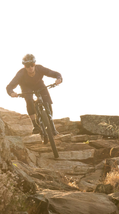
Nice parking area with restrooms. Route starts with fireroad but is mostly singletrack. A lot of climbing (2000 ft ) but worth it - the descent to Hwy. 136 is fast and fun! Bring a map as the trail follows various forest roads in some sections and can be confusing.
First added by Jeff Barber on Jan 10, 2011. Last updated Apr 28, 2020. → add an update
Before you go
- Drinking water: unknown
- Lift service: unknown
- Night riding: yes
- Pump track: unknown
- Restrooms: unknown
- Fat bike grooming: unknown
- E-bikes allowed: unknown
- Fee required: unknown
This trail information is user-generated. Help improve this information by suggesting a correction.
From I-75, take Hwy 136 West to E Armuchee Rd. and look for signs for Dry Creek Trailhead / Pinhoti Trail on the left. Officially known as sections GA10 and GA11 of the Pinhoti Trail.


Love this trail. What a gut check. the first 4 miles let you learn about yourself and your dedication to the mtb sport
| ThankGreat trail. Ride from Mulberry Gap a bit taxing though but actual trail was a dream
| ThankMy first time on the Pinhoti. I rode the 34 mile Snake Creek Gap TT course. It was a lot of fun but be prepared to do some work. This is definitely not a beginner or beginner/intermediate trail. Armuchee To Snake Creek Gap can be done by an intermediate rider with strong legs. This is probably a beautiful ride under the canopy in spring and summer. the trees are not too numerous so you can see a lot of what's around you and there isn't much low growth.
| ThankDon't miss the right hand turn at the first clearing when you start or you'll wander a 1/2 mile down a dead end road. There are also a couple other turns to look out for along the way. If you don't see a Pinhoti Anchor tag on a tree every 1/2 mile or so you may want to turn around. Good easy warm-up before the climbing starts. Climbs are never too intense and you are rewarded with some really great downhill runs. Late autumn/early winter leaf cover on the trails can add to the difficulty so be careful. There be roots and rocks under thar. When you reach the FS road, turn left, go about a mile then at the top where the clearing is turn left back into the woods and enjoy the singletrack. The long flowy descent leads you out to GA-136 and the parking lot for the start of the next Pinhoti section, Snake Creek Gap To Dug Gap (http://www.singletracks.com/bike-trails/pinhoti-trail-snake-creek-gap-to-dug-gap.html)
Great parking. $5 buck fee. Fast fire roads, lots of climbing, loose rocks and some sweet single track decent. This is where the 34 milers start the Snake Creek Gap TT. Beautiful North GA mountains. Plan for this ride. Have plenty of water and nutrition as you are isolated out here. Now get out and ride!
| ThankThis is a great chunk of trail with some tough, extended climbs and absolutely bomber downhills! Some sections are fast and smooth, and others are rocky and rooty and will definitely keep you on your toes. These mountains of northwest Georgia are gorgeous, and the trails are tons of fun, so if you're in the area, come on over and check them out!
| ThankScenic singletrack with tough climbs and screaming downhills. Fairly typical north Georgia terrain with a few roots, rocks, and stream crossings along the way. Descent signage but bring a map along just in case to help navigate the road crossings.
| Thank