Sign In | Create Your Account | Site Map  

Otero Canyon Mountain Bike Trail

Albuquerque, New Mexico

MTB TRAIL STATS

Avg Rating: 3 trail reviews
Status: Open
updated 5/3/09 by dauw
Difficulty: Intermediate
Length: 5 miles Global Rank: 2055
Tread: Singletrack Configuration: Network
Ridden: 5 Wishlist: 2
Avg. Speed: 6.67 mphAvg. Time: 1hr 30min
Elevation Gain/Loss:
+302/-93 ft
 
Directions: To view directions to Otero Canyon mountain bike trail, please login. If you don't have an account, sign up now: it's free, only takes a minute, and gives you access to tons of other rad features.

Description: 
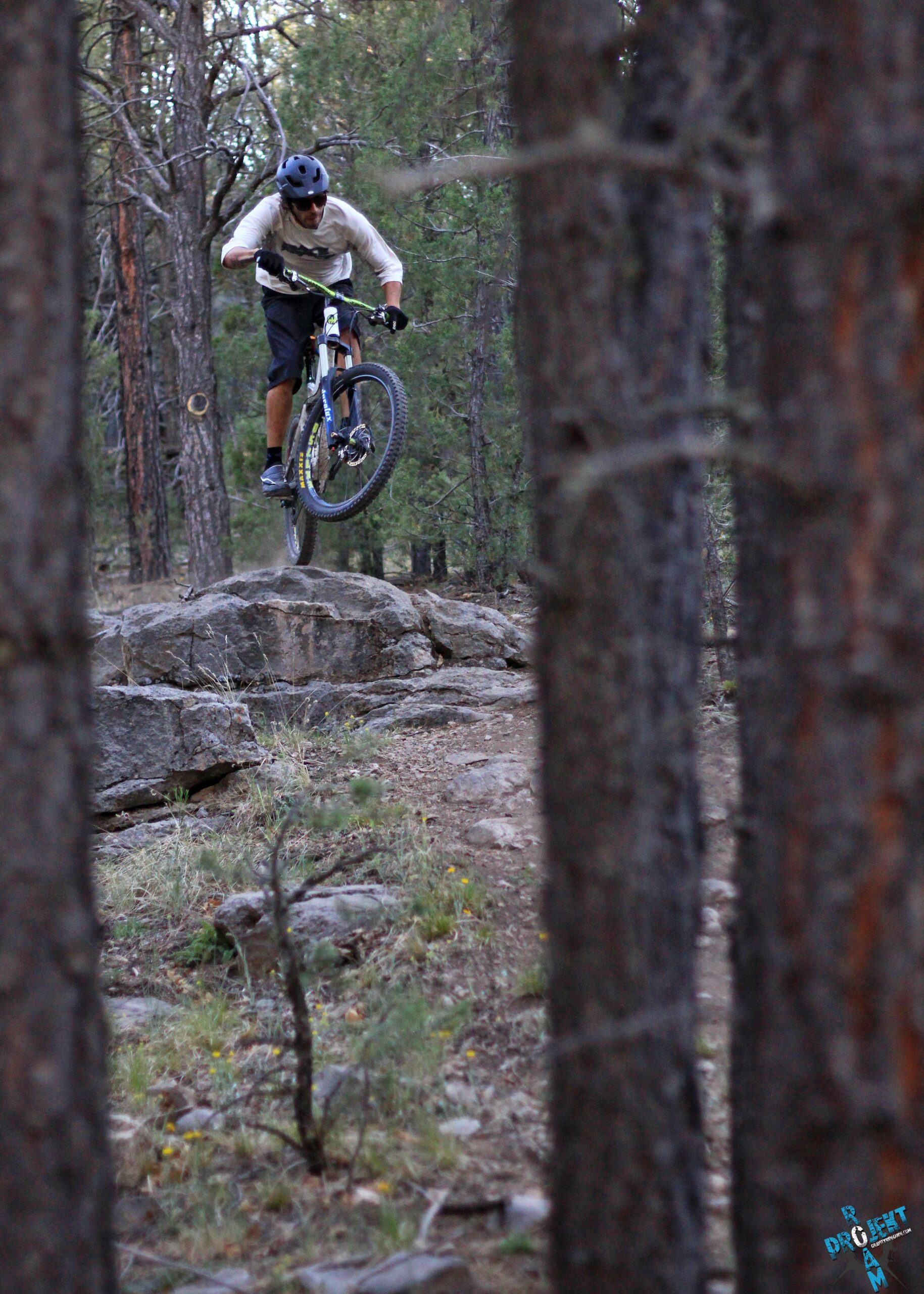
This trail provides a fairly remote experience just a few minutes from the city. From the trailhead, you can head up the main draw, which is otero canyon, or head up the trail to the left that goes up on the ridge, or you can go a little way up the draw to a trail that takes off to the right which will ascend that ridge or continue on down to Tunnel Canyon. If you ride all the way to the top, beware of federal property. Even though higher in altitude, the ridges may melt out sooner than the canyon because they are exposed while the canyon gets less sun. The ridg on the right is very rocky and not always fun--it makes a better descent than climb. Otero Canyon proper is good either way. It is a reasonable climb up and can be very fast on the way down with a few opportunities for air. Check with the forest service on the way up for maps and conditions.
added on March 26, 2009 by skibum
Map   Videos   Photos   Bike Shops  

NEARBY TRAILS

TRAIL REVIEWS   review this trail


reviewed by jonnygogo on March 10, 2010

Tunnel Canyon to Otero provides various loop options if you are willing to explore. On top and east there are quite a few forest roads and a few singletracks that finish in residential neighborhoods: please walk your bike out the final 100 yards and be respectful to landowners. RE: restricted land. Albuquerque native reports that the border where trail crosses into Kirtland Air Base land was patrolled following 9/11 in the 2009 season there were no reports of active patrols. Tunnel/Otero/Cedro are all nearly impossible to ride after a good rain due to the soil: find rockier terrain after rains: Foothills is a good alternate.

* Review edited 3/10/2010

Similar Trail: Cedro Peak is bigger and more varied but very similar in places.


reviewed by omaha on August 14, 2009

Air Force Base Security limits your exposure to the full trail. Go at your risk of a fine. Start at Tunnel Canyon. And it's safer to park there, full view of lot from the road. The Otero parking lot is sheltered from view and many cars have been broken into.


reviewed by dauw on May 9, 2009

Fun trail system that can be rocky on the ridges and full of flow and drops in the canyon. Start at Tunnel Canyon to extend the network and get a longer down back to the car. A good alternative to Alb. foothills rides


Site Map | Advertise | Partners | Contact Us | Terms | Privacy
Camping | Hiking | Trail Running | Mapping | Mountain Biking
Copyright 2010 Blue Spruce Ventures LLC | Atlanta, GA
singletracks.com is yet another slick Review App

time: 0.16883707046509 seconds