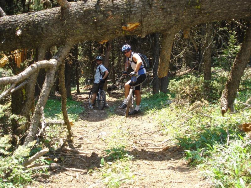
The ride starts on rough dirt road heading West from the top of the pass. Climb steadily for a mile and a half to the top of Kings Hill. You'll know you've reached the top when you see the forest service lookout tower. If it's open, you can go up the stairs and take in the views. Then go back down to your bike and look for the singletrack (Mitzpah Ridge Trail 780) heading into the woods just south of the tower. There are plenty of opportunites to get lost here--just keep looking for the blue diamonds on the trees. The trail will alternate between woods and meadows with occasional views. There are a couple steep, rooty drops that can be a lot of fun. After you've descended most of the way, there are a few false singletracks and a number of doubletracks that can lead you astray--no worries, just keep heading south and you'll eventually end up on highway 89. Then you begin the climb back up Kings Hill Pass from the south. If you want to avoid seven miles of sloggin up boring pavement, leave a shuttle car at the bottom. Our exit point didn't match where we left the shuttle, so we had to do some scouting along the highway to figure out which way to turn to reach it. The Forest Service has a pamphlet with the Mountain Biking Trails in the Lewis and Clark National Forest that is somewhat helpful, although it lacks detail. The USGS quads for the area are seriously out of date and don't show many of the trails/doubletracks.


I rode this trail in Sept. of 2010. It is no longer singletrack. It is a torn-up ATV trail now and in my opinion is not worth the long slog up King's Hill Pass. A few fun sections, but not much. Nice scenery along the ridge, though. Too bad, I had such high hopes.
| Thank