×

|
Rate it:
Tags:
Level: Advanced
Length: 6 mi (9.7 km)
Surface: Singletrack
Configuration: Other
Elevation: +270/ -267 ft
Total: 12 riders
Mountain Biking Eula Ridge
#88 of 321 mountain bike trails in Oregon
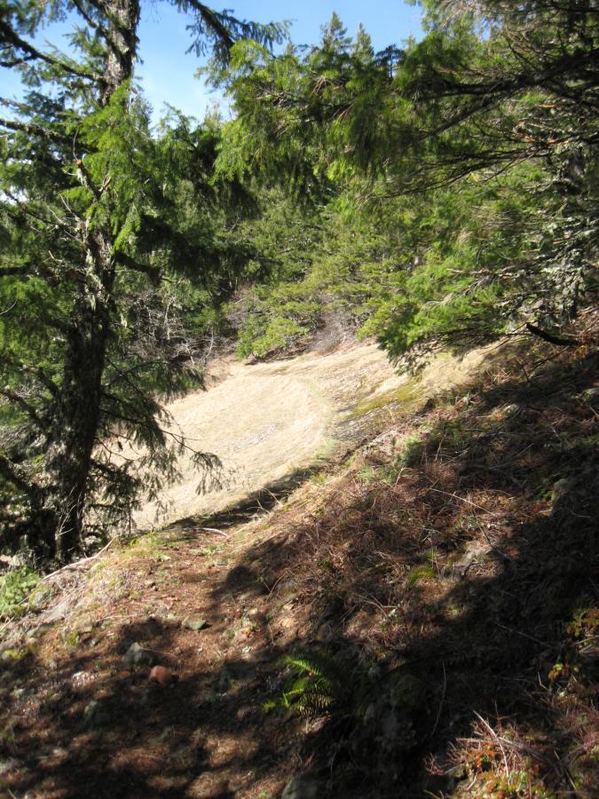
When they say this trail is for expert riders only, they aint just a whistlin' dixie. This trail (at least the first 1.5 miles) is a technical challenge beyond the capabilities of all but the very experienced. It is narrow, very steep, twisty, covered in loose rock, and has plenty of obstructions.
After that though, It's a moderately challenging kick in the pants. It has long sections of fast, flowing downhill; just the right amount of big roots; and a handfull of sharp switchbacks to navigate before it plops you back at your car.
I have ridden/pushed it from the bottom up to where the really steep section starts, and it is a blast. Much of it is rideable, although not all. It's worth it, though.
First added by MarcS on Feb 13, 2012. Last updated Apr 28, 2020. → add an update
Before you go
- Drinking water: unknown
- Lift service: unknown
- Night riding: unknown
- Pump track: unknown
- Restrooms: unknown
- Fat bike grooming: unknown
- E-bikes allowed: unknown
- Fee required: unknown
This trail information is user-generated. Help improve this information by suggesting a correction.
Follow directions to South Willamette Trail in the Eugene-Lowell area trails section of this web page. Continue past the parking lot for about 3 more miles. Park on the right side of Hwy. 58 at the Lawler Trail-Eula Ridge trailhead. Ride your bike about one more mile up Hwy. 58 to Patterson Mountain Road.
Ride five miles up Patterson Mtn. Rd. to "The Saddle." Take a right onto Forest Service Rd. 550, and follow it about 1.5 miles to where it dead-ends into the Hardesty Cutoff trail. Ride this trail about a mile to the junction with Hardesty Trail on the right (this goes to the top of Hardesty Mountain), or continue to the junction with Sawtooth Tr. where you go right to meet back up with Hardesty.
At this point, go downhill on Hardesty Trail to the signless junction with Eula Ridge Trail (about .25 mi.). Look for the word EULA carved into 2 trees across the path from a sign marking Sawtooth.


I rode this trail yesterday from the top. Much of it was so covered in downed trees, I was carrying my bike more than riding it. Even the sections that were tree-less had so many branches blown down onto them that simply seeing the trail was difficult.
I've ridden the lower 2/3 of this trail in the past, and it is one of the funnest, moderately technical downhill rides in this area. The upper 1/3 of the trail is a bona fide expert-level trail.
| Thank