×

|
Rate it:
Tags:
Level: Easiest
Length: 20 mi (32.2 km)
Surface: Fire Road
Configuration: Loop
Elevation: +752/ -686 ft
Total: 37 riders
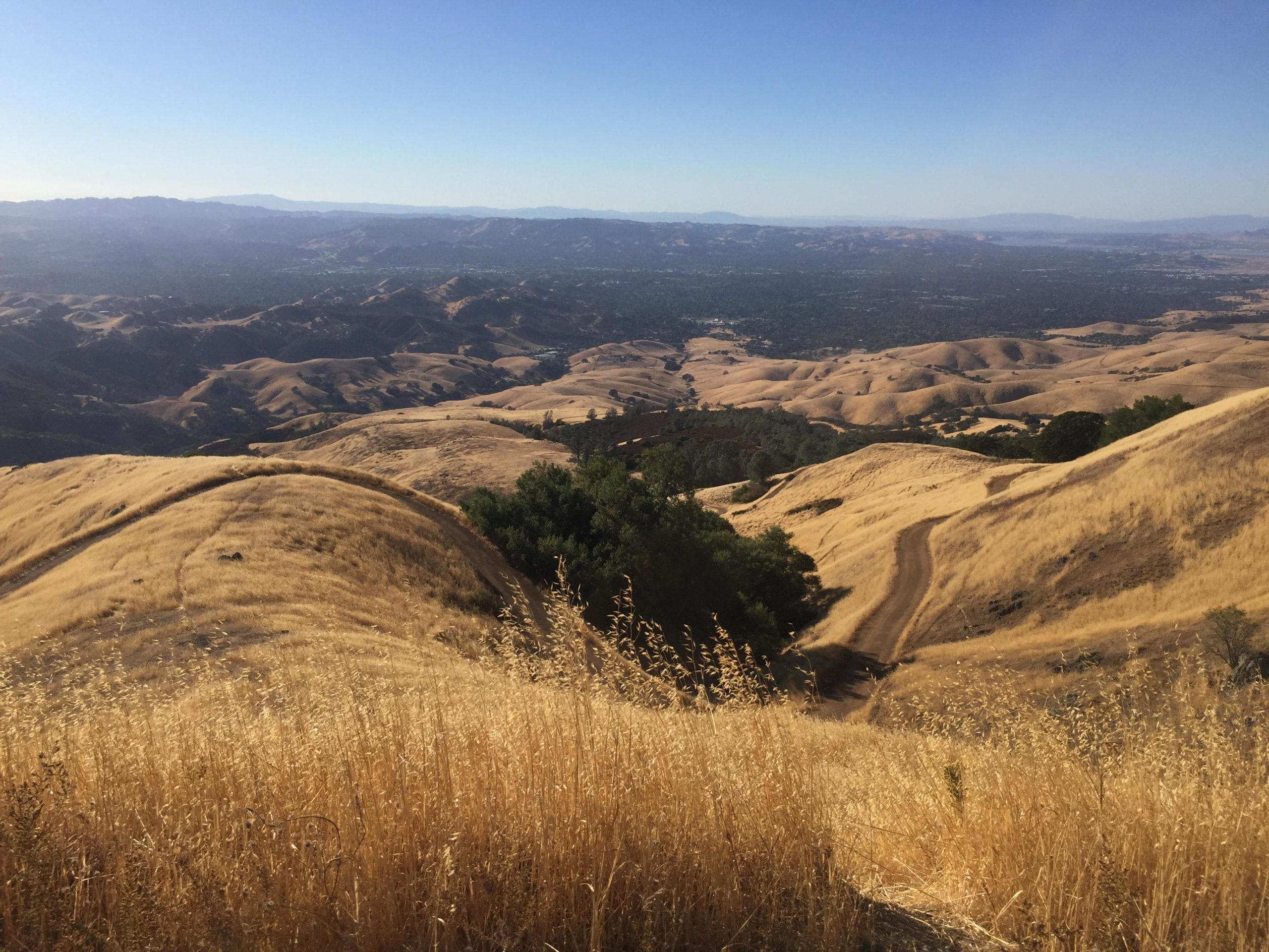
Mountain Biking Diablo Foothills Regional Park
#412 of 1,015 mountain bike trails in California
flat firetrail mostly. some hidden singletrack can be seen from the entrance, but i can never find how to get to it. pretty flat and unchallenging, but a good place hike or fart around. if you climb up the rocks in castle rock you can find the bong cave and climb inside there
map: http://www.ebparks.org/files/EBRPD_files/brochure/dfoothills_map.pdf
First added by pyros46290 on Mar 15, 2008. Last updated Apr 28, 2020. → add an update
Before you go
- Drinking water: unknown
- Lift service: unknown
- Night riding: unknown
- Pump track: unknown
- Restrooms: unknown
- Fat bike grooming: unknown
- E-bikes allowed: unknown
- Fee required: unknown
This trail information is user-generated. Help improve this information by suggesting a correction.
from 680 take ygnacio valley road, then right on oak grove road and you will start seeing signs


This could be the trail that gets a kid into riding. There are creek crossings, a few bumps and roots here and there. The scenery is great as well.
| ThankI recently linked a summit climb from this trail. It was accurately rated as a black diamond loop. I came back down at Juniper camp just shy of the summit. That was beyond my abilities but its there if you want it.
Great alternative to Black Diamond Regional Park due to the abundant shade and cooler weather conditions. Rode with a friend yesterday when temp was 105 in Antioch, it was about mid 90's at Shell Ridge but with the shade, breeze and water from the creek beds you get to blast through, it felt much cooler. Take plenty of water to stay hydrated though. Plan on going back this week and climb up to the summit.
| Thank