×

|
Rate it:
Tags:
Level: Intermediate
Length: 12 mi (19.3 km)
Surface: Singletrack
Configuration: Out & Back
Elevation: +195/ -176 ft
Total: 6 riders
Mountain Biking Chautauqua Hills Trail
#51 of 91 mountain bike trails in Kansas
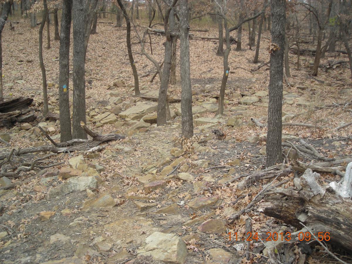
This trail starts off on rocky terrain crossing a long wood bridge . The first 3/4 mile is pretty technical on big rock , some uphill , downhill challenges , and creek bed crossings . The trail turns to dirt and rock . It also splits giving you a choice on how you want to ride this trail . It hooks back up about 1 mile deeper into the woods . One trail follows the prairie and the other follows the west side of the northeast cove of Toronto Lake. About 3 1/2 miles on the trail you will come to a concrete low water bridge that takes you to the east side of the cove . This side has more open prairie trail that will split twice along the way . this will let you see every inch of this trail . You have some technical uphill and downhill trail along with some rugged large rocky terrain . You will ride the whole length of the cove and some of the base of the lake before turning around and heading back. This trail is good for fast riding and testing your technical skills . Come on out and give it a ride .
First added by Schmo on Nov 25, 2013. Last updated Apr 28, 2020. → add an update
Before you go
- Drinking water: unknown
- Lift service: unknown
- Night riding: unknown
- Pump track: unknown
- Restrooms: yes
- Fat bike grooming: unknown
- E-bikes allowed: unknown
- Fee required: unknown
This trail information is user-generated. Help improve this information by suggesting a correction.
You need to get on HWY 54 . East from HWY 99 or West from HWY 75 to HWY 105 . Turn south onto HWY 105 . There is a sign for Cross Timbers State Park / Toronto Lake . You will drive through the town of Toronto . The road turns east onto Main St. At the edge of town is Point Rd. Turn south onto Point Rd. following the sign to the State Park . You will pass a Guard shack . At the first road you come to turn left . At the next first road turn left again . This will take you right to the trailhead .

Loading reviews...View more