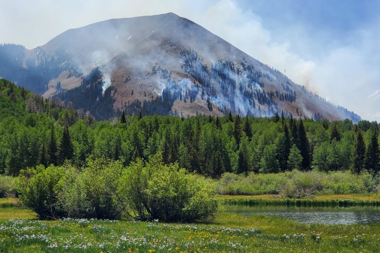
The Burro Pass trail climbs straight up from the road, gaining over a thousand vertical feet in a mile and a half. The top of Burro Pass is almost above treeline, sitting just below several gorgeous mountain tops. The top of the pass (over 11,000 feet above sea level) marks the official beginning of The Whole Enchilada descent, which drops 7,000 vertical feet all the way down to the green river.
After you pass the top of the pass, the bottom drops out of the trail, descending as steeply as it climbed before. Rocks, roots, and creek crossings abound... hang on to your helmet! And prepare to shred!
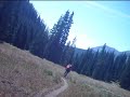
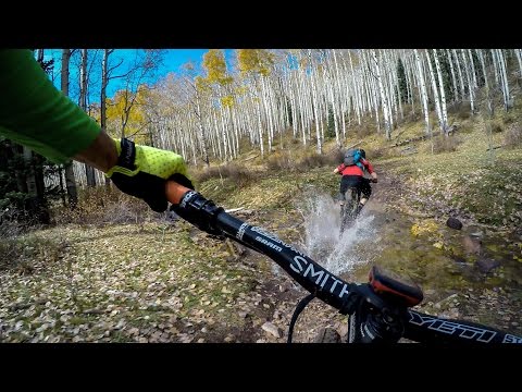
Lower down the trail mellows, flowing through the trees and eventually feeding into the Dry Creek trail. To continue The Whole Enchilada route, ride past the campground, down the gravel road, and pick up the Hazard County trail.


 1
1

The top of the Whole Enchilada. After climbing to the top (part hike-a-bike), the downhill starts at treeline and is steep and loose. After some creek crossings in a softwood forest, you hit the aspens (golden in the fall) and thing s level out. This area is beautiful, but what's with those unexpected climbs? Great ride!
| ThankSweet trail
| ThankDid
Like Greg said, bunch of climbing. The views are gorgeous, and the climbs are not, wait ...I like climbing, because what goes up, must come down and YEAH it does! About a 1,000ft up in a mile in a half is about right, but it's soooo worth it. There is some riding to it and a little downhill, the flow is nice, even the climb. Take your time and get a snack at the top by the sign. The second time isn't as bad as the first. ;-) The descent is shred city!!! Keep the seat down and rip it up, your breaks will get warm, well HOT! But so are you as you're ripping this place up. The second creek crossing is the gap jump (if I remember right), but the lip was busted up as of Aug 30, 2015. Pretty sweet place. One of my favorite parts of The Whole Enchilada as it averages an 11% grade. You'll be hootin' out of epic pleasure for sure as you're shooting down the trail. Bring a light jacket for rain and wind. It's much cooler up here, just in case. I needed it the first day, but not the second. This part is amazing!!
| ThankThe trail up to the top of Burro Pass is a super steep grunt... yeah, I hiked almost all of it. Once you get to the top and head back down, the descent is just as steep--straight up brake burning! Awesome start to The Whole Enchilada.
| ThankA real grunt of a climb, but well worth the incredible downhill. Great linked up with Porcupine Rim.
| ThankFast and fun. Cool stream gap jump.
| Thank