×

|
Rate it:
Tags:
Level:
Length: 10 mi (16.1 km)
Surface: Doubletrack
Configuration: Network
Elevation: -
Total: 4 riders
Mountain Biking South Groton Trails
#184 of 223 mountain bike trails in Massachusetts
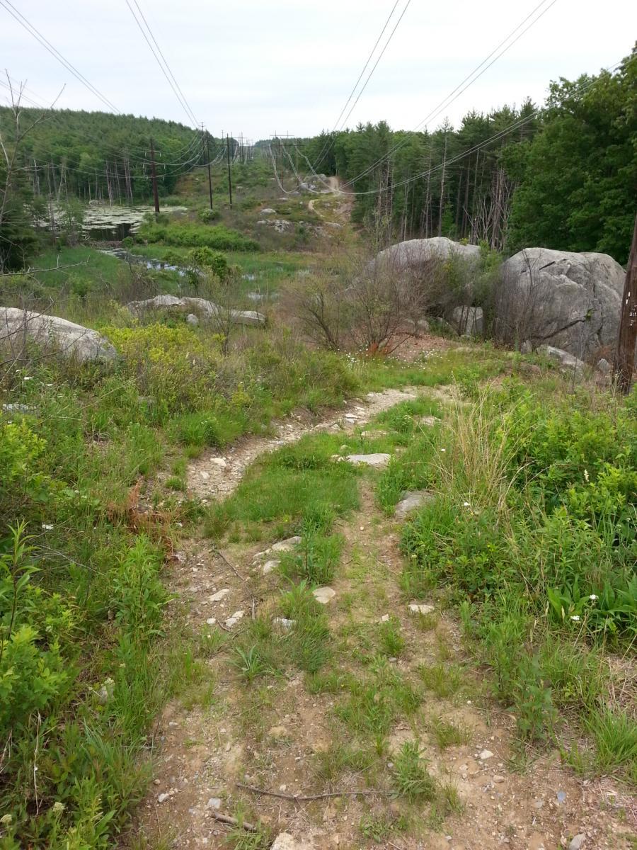
The trails here are a mix of double tracks (service roads) along powerlines, fire roads and single track. Riding along the powerlines is nice as it gets you out of the trees and on a more hard packed surface.
First added by KingKai on Jun 14, 2013. Last updated May 9, 2020. → add an update
Before you go
- Drinking water: unknown
- Lift service: unknown
- Night riding: unknown
- Pump track: unknown
- Restrooms: unknown
- Fat bike grooming: unknown
- E-bikes allowed: unknown
- Fee required: unknown
This trail information is user-generated. Help improve this information by suggesting a correction.
These trails are along on the Ayer - Groton townline. Parking can be found on Washington Rd (Ayer, MA) where the powerlines cross and on Sandy Pond Td (Groton, MA) also where the powerlines cross


Loading reviews...View more