Level: Beginner
Length: 5 mi (8 km)
Surface: Fire Road
Configuration: Loop
Elevation: +107/ -89 ft
Total: 12 riders
 

Mountain Biking Point Pinole Regional Park

***   Add a review
#531 of 1,005 mountain bike trails in California
#6,556 in the world

This is a counter clockwise loop leaving from the main parking lot for Point Pinole Regional Park. This loop consists of mostly fire road, but has a bit of singletrack on the west side of the park during the first mile or so.

Following along the west coast side (some nice views of the bay) you continue on towards the pier. Ride out to the end and take a break while you enjoy views of the north bay. There are usually people fishing out near the end of the pier. Come back down the pier and follow along the east side of the loop that spits you out at a small beach at the end of mile four.

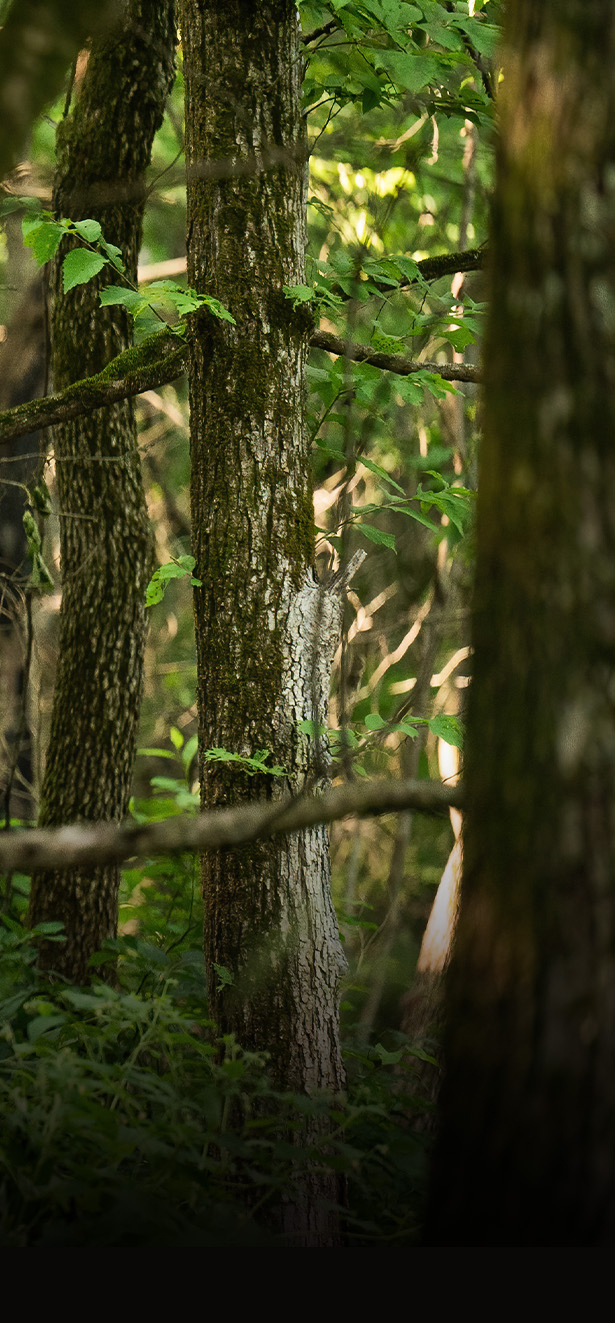
You'll ride through some tall trees (lots of eucalyptus around) on your way out. Head back out from the way you came into the beach and follow left back to the main parking lot. You'll pass by picnic sites and playgrounds as you get closer to the lot. You'll also get to ride an overpass bridge where freight trains and Amtrak sometimes travel through. Very easy ride without much ascent/descent. It's a little narrow on the singletrack by the western side, but it's not anything tough (unless you're bringing small children along). This loop is derived from several park trail options available. Trails within the park are much more laid back and family friendly. This loop will give you pretty much everything the park has to offer in terms of terrain and scenery.

First added by ActivEric on Jun 24, 2011. Last updated Apr 28, 2020. → add an update
Before you go
  • Drinking water: unknown
  • Lift service: unknown
  • Night riding: unknown
  • Pump track: unknown
  • Restrooms: unknown
  • Fat bike grooming: unknown
  • E-bikes allowed: unknown
  • Fee required: unknown
This trail information is user-generated. Help improve this information by suggesting a correction.
Getting there
If exiting highway 80 at Hilltop Drive (exit for Hilltop Mall - Richmond)
Exit Hilltop Dr
1. Head west on Hilltop Dr toward Blume Dr 1.5 mi
2. Turn left onto Richmond Pkwy 0.3 mi
3. Take the exit toward Gaint Hwy 0.4 mi
4. Slight left at Markovich Ln 0.2 mi
5. Turn right onto Giant Rd 0.2 mi
6. Take the 1st right onto Giant Hwy 0.5 mi
7. Turn left 0.1 mi
Arrive Point Pinole Regional Park parking lot


Point Pinole Regional Park Trail map

Add to or improve this map // Share this map on your website

Local Info

Club Sponsor

-

Trail checkins

bronstain (on Jun 8, 2019)
What's this?

Upcoming Events

None.
Add one

Trail conditions

Dusty (on Jul 4, 2015)
login to update

Camping & Lodging

Coming soon!

Point Pinole Regional Park videos

Add a video
We don't have any videos of this trail yet. Add one here.

Mountain Bike Trails Near Richmond, California

| 22 mi
| 0 mi
| 19 mi
| 11 mi

Add a review

Rating
 
Difficulty
 
Review

Reviews

    Loading reviews...

Rider questions