Michigan Ditch trail photo
See all photos (6)
×
User
Today
 
  |   Rate it:

Tags:
Level: Easiest
Length: 5 mi (8 km)
Surface: Fire Road
Configuration: Out & Back
Elevation: +458/ -463 ft
Total: 14 riders
 

Mountain Biking Michigan Ditch

**   Add a review
#724 of 1,372 mountain bike trails in Colorado
#7,547 in the world

From the gate you'll head along a very well maintained road. Its a service road for the City Of Fort Collins Water. (The ditch is actually drinking water for Ft Collins)After you cross the gate about 100 feet in there is a self pay station. 3.00 per rider over 16. Bring exact change. You'll follow the road for 5 miles. (approximate) where it will end at the base of a rock slide. There is a foot path (No bikes allowed on Forest Service Property) at this spot Lock up your bike and take the 1/2 mile hike to Lake Agnes. WELL worth the hike. Trail is shared by hikers, Bikers and joggers but its the width of a road so plenty room to share. Nothing at all Technical about this trail but sometimes views are better than crashing down rocks. Very level and good for ANY rider. Kids alike. Great trail to start showing the kids what MTB is all about.

Couple things to be aware of. Your at 12000 feet in elevation. Air is VERY thin. Don't over do it. Easy trail but it can kick you if your too aggressive.
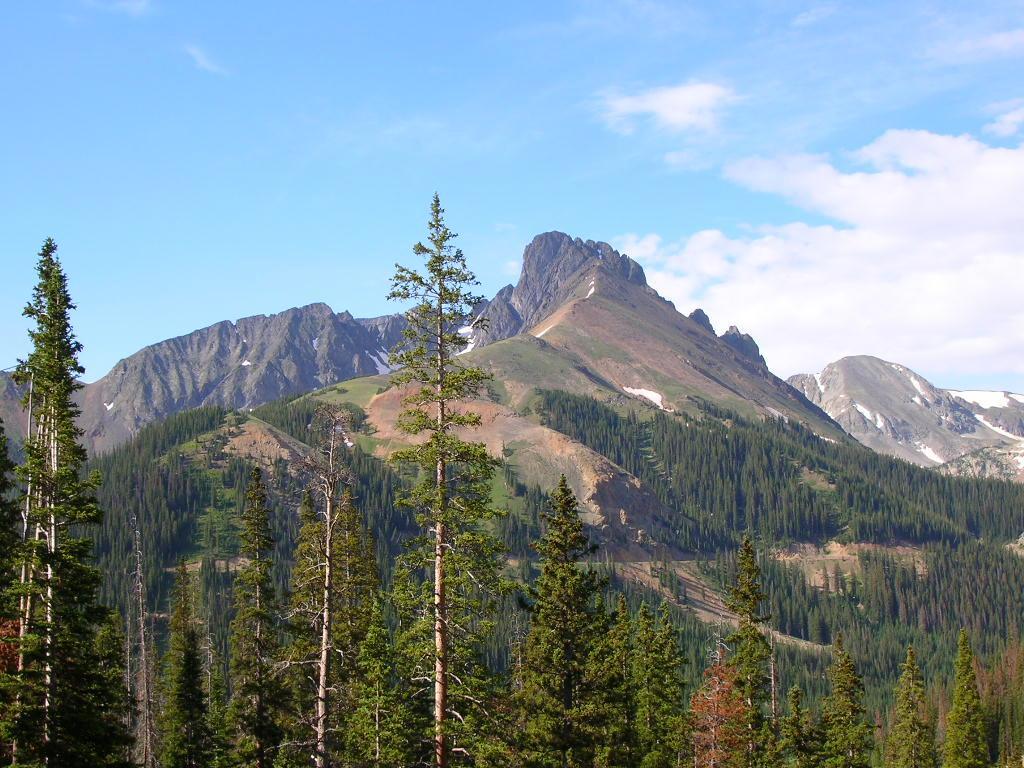
Bears and Mountain Lions in the area so a good can of bear mace isn't a bad idea. 200 Foot drop offs and Running Melting snow everywhere makes this an awesome ride.

Plan for bad weather no matter what the forecast! It has been known to snow in June and July here. After all, your about to be above timberline!!

Couple small cabins along the way. Those belong to the workers of the Ditch so please respect their property and stay away from them.

First added by on Jul 19, 2009. Last updated Apr 28, 2020. → add an update
Before you go
  • Drinking water: unknown
  • Lift service: unknown
  • Night riding: unknown
  • Pump track: unknown
  • Restrooms: unknown
  • Fat bike grooming: unknown
  • E-bikes allowed: unknown
  • Fee required: unknown
This trail information is user-generated. Help improve this information by suggesting a correction.
Getting there
From Fort Collins Head North on 287 to HWY 14 (Teds Place) Go up HWY 14 for approximately 70 miles to the Cameron Pass Parking lot. Its right at the summit. On the right as you arrive from the east. Across the street you'll see a gate over a very well maintained road. This is the start of the trail.


Michigan Ditch Trail map

Add to or improve this map // Share this map on your website

Local Info

Club Sponsor

-

Trail checkins

DanK_NoCo (on Sep 12, 2022)
What's this?

Upcoming Events

None.
Add one

Trail conditions

Good (on Sep 12, 2022)
login to update

Camping & Lodging

Coming soon!

Michigan Ditch videos

Add a video
We don't have any videos of this trail yet. Add one here.

Mountain Bike Trails Near Fort Collins, Colorado

***
Beginner | 7 mi
****
Intermediate | 3 mi
****
Advanced | 13 mi
****
Intermediate | 7 mi

Add a review

Rating
 
Difficulty
 
Review

Reviews

    Loading reviews...

Rider questions