×

|
Rate it:
Tags:
Level: Intermediate
Length: 30 mi (48.3 km)
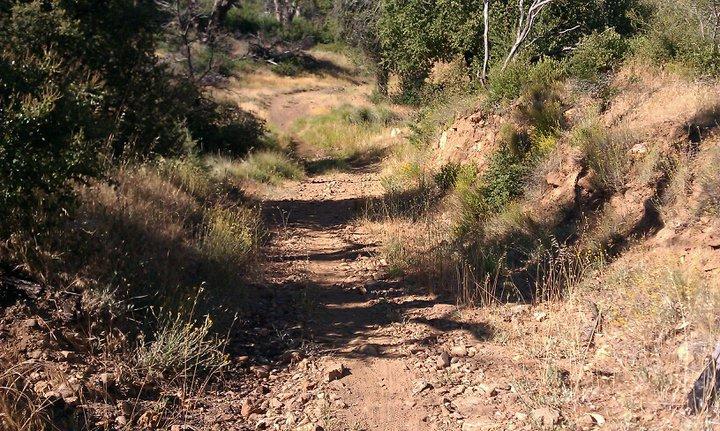
Surface: Singletrack
Configuration: Loop
Elevation: +791/ -768 ft
Total: 34 riders
Mountain Biking Cuyamaca Rancho State Park
#278 of 1,005 mountain bike trails in California
Go back to the 79, go north for a mile to the Milk Ranch TH, take Milk Ranch to Azalea Springs to Fern Hollow, left on West Mesa, cross 79 and get on Cold Springs Trail to Green Valley, north on Green Valley until Soapstone, turn right and follow back to 79, cross 79 and take CA Riding & Hiking Trail back to CG.
First added by Gyan on Sep 16, 2008. Last updated May 2, 2020. → add an update
Before you go
- Drinking water: unknown
- Lift service: unknown
- Night riding: unknown
- Pump track: unknown
- Restrooms: unknown
- Fat bike grooming: unknown
- E-bikes allowed: unknown
- Fee required: unknown
This trail information is user-generated. Help improve this information by suggesting a correction.
Get to the Sweetwater Parking lot on Hwy. 79 inside the Rancho Cuyamaca State Park.
System trails (2)


Loading reviews...View more