Trails
Reviews
Tips
Community
Deals
Latest
Support
Trails
Find trails
Best bike trails
Destinations
Add a new trail
Reviews
Mountain bike reviews
Components
Tires
Clothing & shoes
Helmets
Accessories
Product news
Community
MTB Clubs
Races & Events
Bike Shops
Tips
Skills
Fitness & Training
Health & Nutrition
Beginners
Repair
Latest Articles
Podcast
Deals
Support Singletracks
Sign in
Create an account
About us
Newsletter signup
Trails
Mountain bike trails.
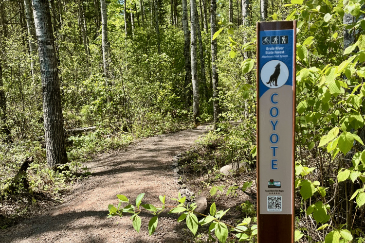
Wisconsin
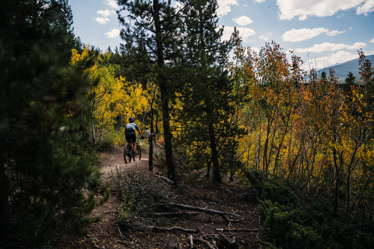
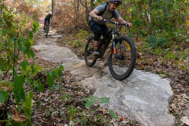
Wisconsin’s Brule River State Forest once excluded mountain biking, but not anymore
United States
A new NEPA process could make trail approval faster, but it may come at a cost
4
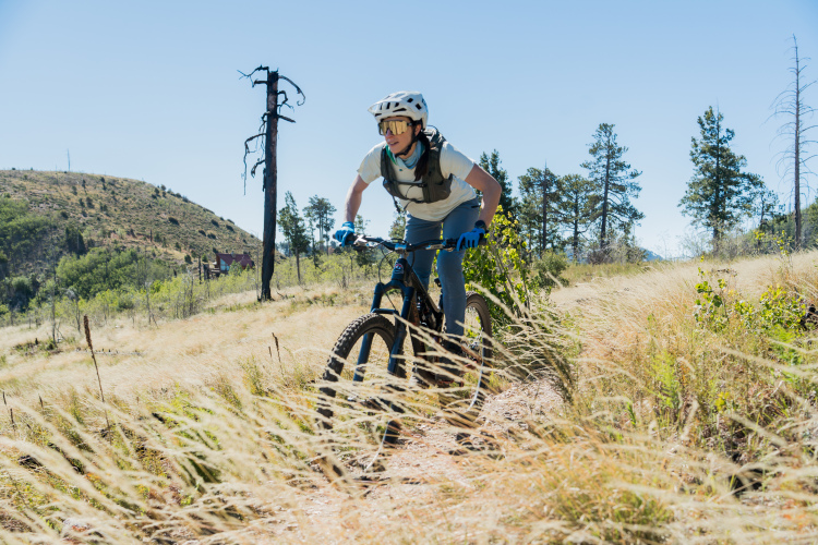
Arizona
We rode the recently reopened Red Ridge Trail in Tucson to see how it's changed following a devastating wildfire
2
Montana
New DH and climbing route will add balance to Bozeman, Montana, trail offerings
California
2026 continues to be rough on resorts as China Peak announces closure
5
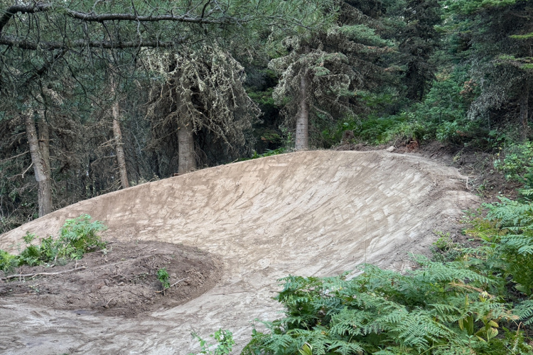
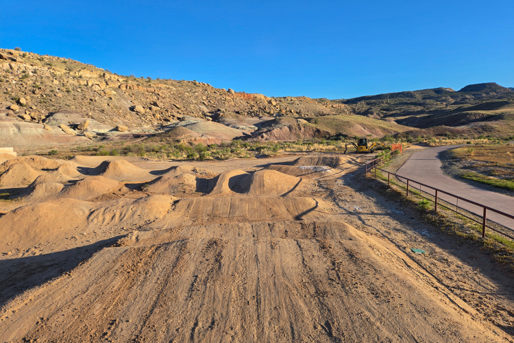
Colorado
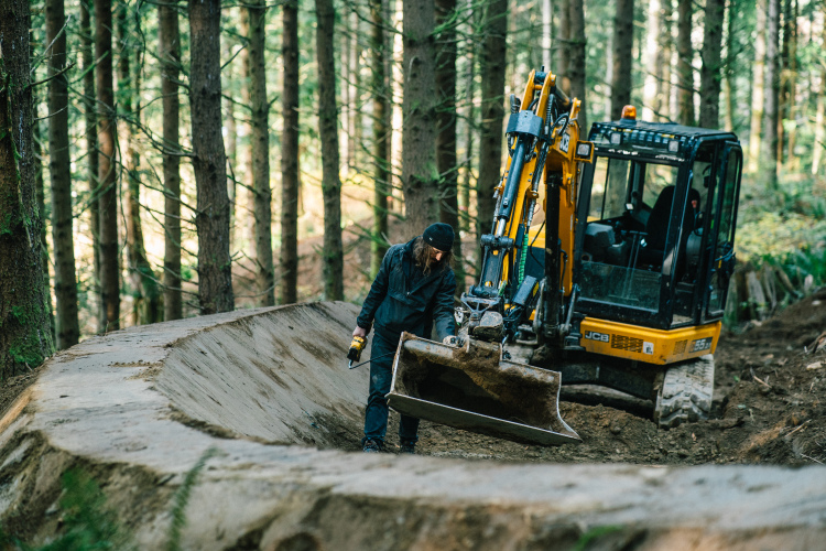
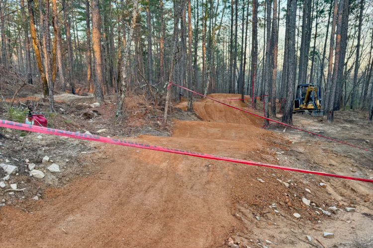
An all-new bike park with gravity-style trails is coming to Montrose, CO
Utah
Deer Valley now charges for pedal-up access to DH trails, with funds helping to maintain trails
3
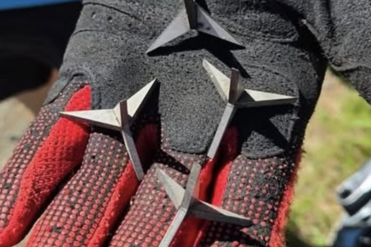
British Columbia
BC officials urge trail users to beware after dangerous 'caltrops' found on local trails
3
Mountain Bike Trails
7 epic mountain bike shuttles for under $10: Free and cheap rides for the summer
10
Sponsored
Pedal 63 Miles of the Finest Backcountry Singletrack on the Highline Trail in Payson, AZ
4
Mountain Bike Trails
Did access to trails influence your choice of where to live?
17
Wisconsin
Rocky Knoll in Sheboygan County, Wisconsin, received a facelift and now totals 5 miles of singletrack
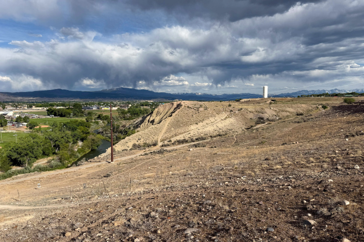
Colorado
A $225,000 revamp of the Lunch Loops Bike Park is currently underway
1
Colorado
Breckenridge hopes to address user conflict by designating the popular Aspen Alley multi-use trail as mountain-bike- and DH-only
2
Idaho
Ponderosa State Park near McCall, ID, could get 3 new MTB trails
Idaho
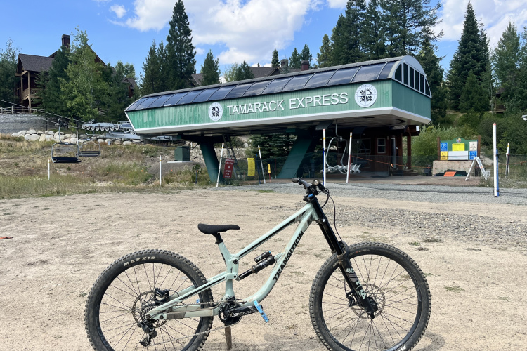
Tamarack Resort in Idaho closes bike park due to storm damage
Idaho
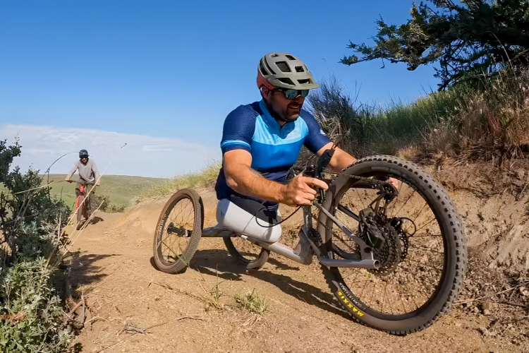
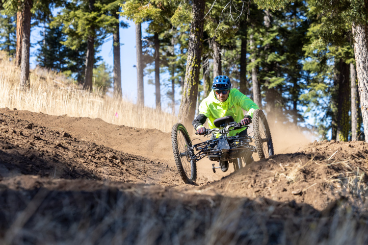
New adaptive-friendly MTB trail system in Eagle, Idaho honors a rider's legacy
1
Mountain Bike Trails
Have you ever been to a grand opening for a mountain bike trail?
3
Nova Scotia
Wentworth Ski Hill has upped its game with a new DH trail made possible by Shimano's Trail Born Fund
British Columbia
The Powerhouse Plunge, a Squamish original, is being rebuilt by the crew that first built it
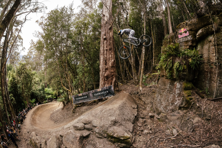
Tasmania
Maydena Bike Park alone generates $54 million per year for Tasmania's economy
Kentucky
Richmond, Kentucky is getting its first mountain bike trails thanks to NICA advocacy
1
Mountain Bike Trails
Which of these North American MTB destinations have you visited?
11
Washington
7 years after the first trail was built, Naneum Ridge trails are finally official
Kentucky
A new MTB trail has opened at Dugas Community Park in Scottsville, KY with plans for future expansion
Colorado
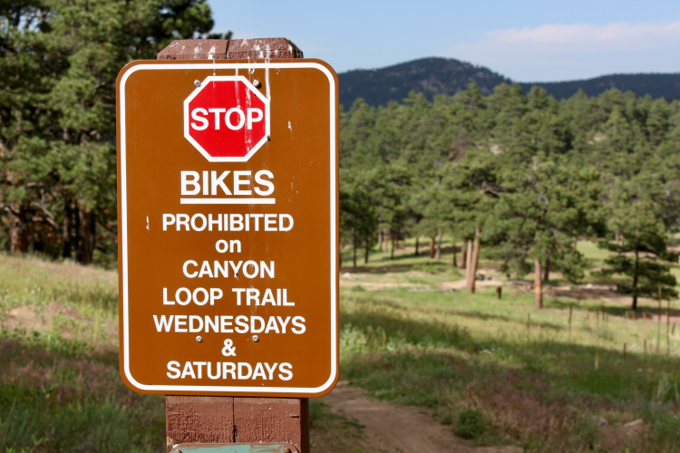
Boulder County, Colorado mountain bikers restricted trail access under pilot program
14
Pennsylvania
New 37.5-mile mountain bike trail expansion coming to Ohiopyle State Park in Pennsylvania
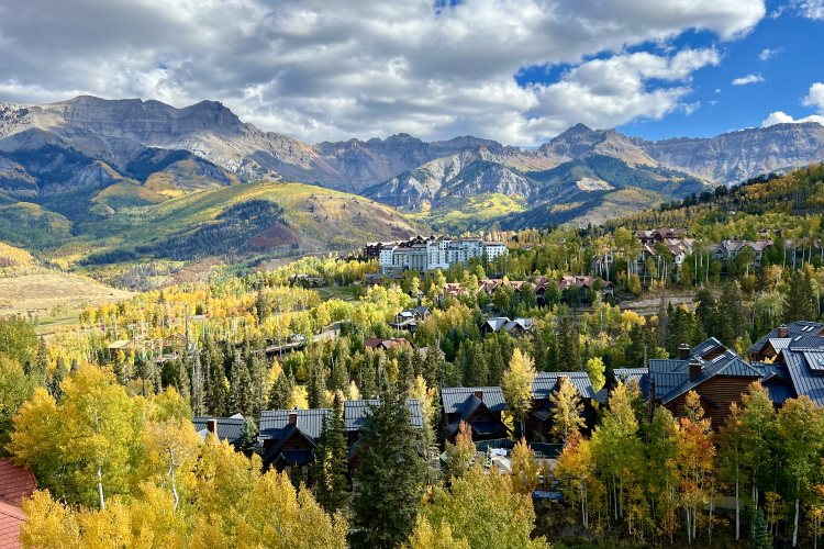
Colorado
Telluride closes downhill bike park for 2026 following longest ski patrol strike in US history
2
Mountain Bike Trails
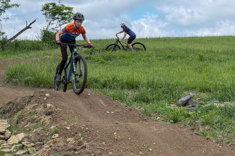
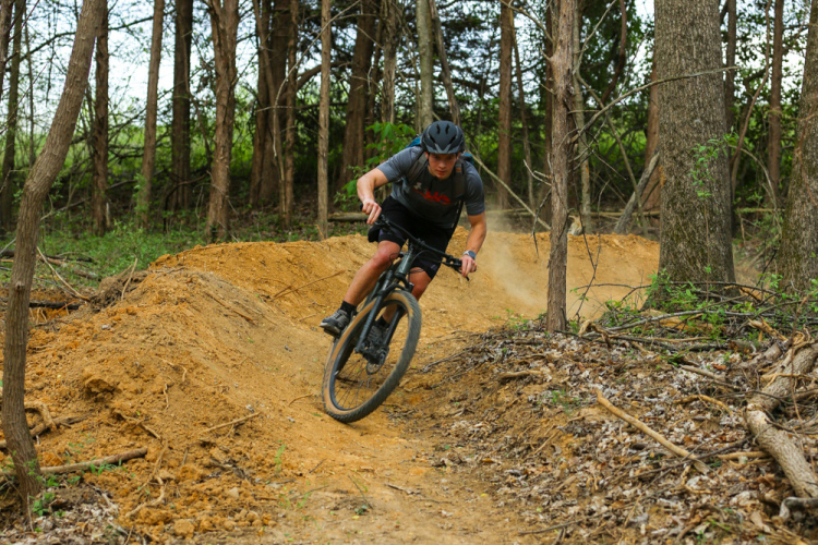
Will you ride at a bike park this summer?
14
Maine
Mt. Abram Bike Park in Maine has redefined what a hometown ski area can build for mountain bikers
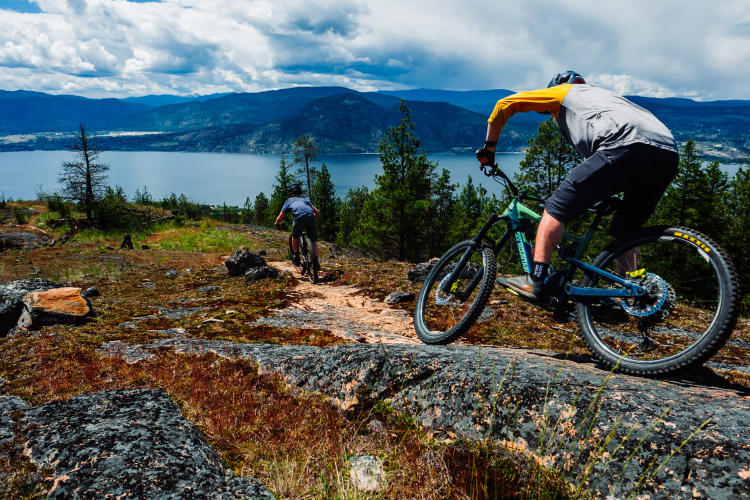
British Columbia
How Three Blind Mice in Penticton, BC, grew from cow trails into a 100+ km mountain bike network
British Columbia
With 50+ miles of trails and 2,300 feet of vert, Valemount Bike Park is BC's hidden gem
3
New Mexico
$700,000 grant will fund 10 miles of new MTB trails at Alien Run in Aztec, NM
1
Mountain Bike Trails
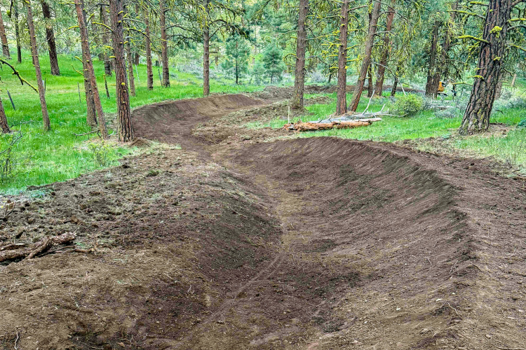
How much does it cost to build a mountain bike trail?
17
North Carolina
Fairview Community Forest is bringing 11 miles of new MTB trails to the Asheville area
Oregon
Warner Canyon in Lakeview, OR, is building 12 miles of new MTB trails with possible plans for year-round chairlift service
Colorado
The Monarch Crest Trail's doubletrack downhill is being replaced with 1.8 miles of singletrack
8
British Columbia
Red Bull Hardline is coming to Canada in 2026
2
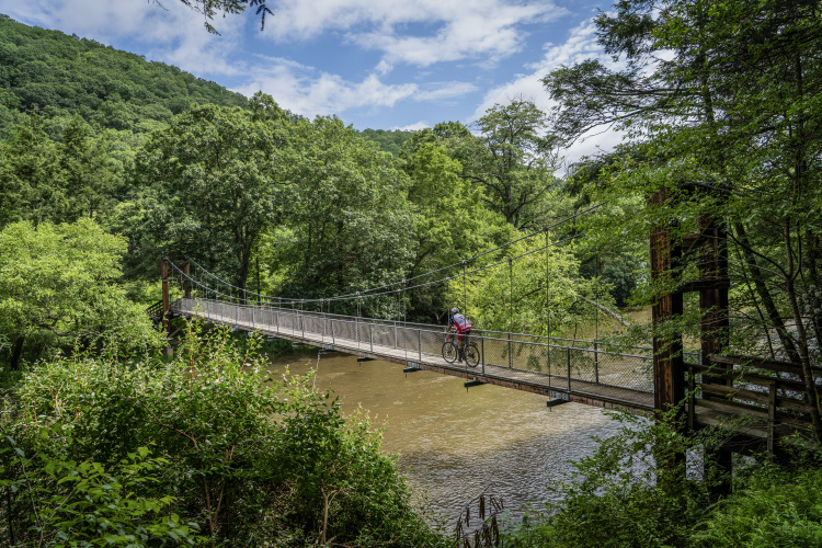
West Virginia
66 new bikepacking routes connect 12 towns across West Virginia's Monongahela National Forest
British Columbia
Owlhead Mountain Bike Park in Sicamous, BC, is already doubling in size after its first season
Mountain Bike Trails
28 IMBA Trail Towns are recognized for their commitment to outdoor recreation
8
Vermont
Vermont's Mad River Valley has 60 miles of singletrack and almost no one knows about it
1
New Mexico
7 miles of professionally-built flow trails added to popular MTB trail system in Farmington, NM
1
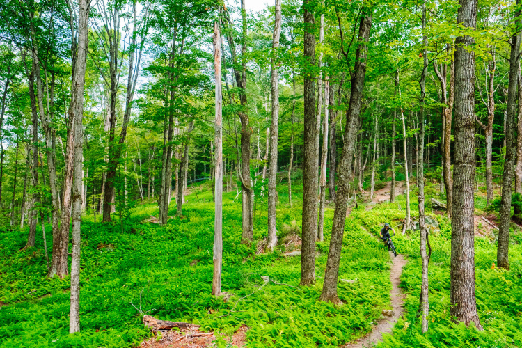
Iowa
5 of the best mountain bike trails in Iowa
5
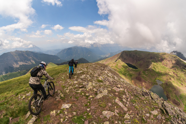
Spain
Why Bielsa is emerging as the next best MTB destination in the Spanish Pyrenees
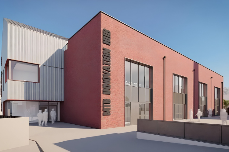
Scotland
Thanks to a $21 million investment, the 'world's first MTB Innovation Centre' is breaking ground this spring in Scotland
2
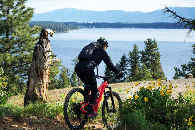
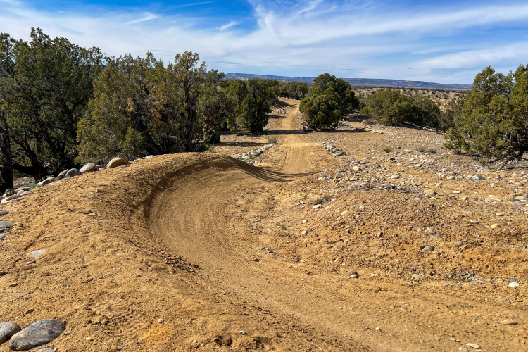
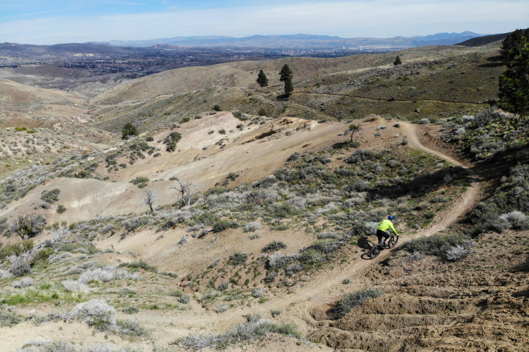
Nevada
The Sierra Front Trail will bring 100 miles of singletrack to Reno, Nevada
2
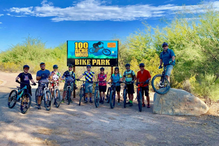
Arizona
Tucson's 100-Acre Wood Bike Park will reopen in 2026 with 10 miles of trails and a new progressive design
2
1
2
3
…
48
»
 4
4