×

|
Rate it:
Tags:
Level:
Length: 1 mi (1.6 km)
Surface: Singletrack
Configuration: Loop
Elevation: +36/ -40 ft
Total: 6 riders
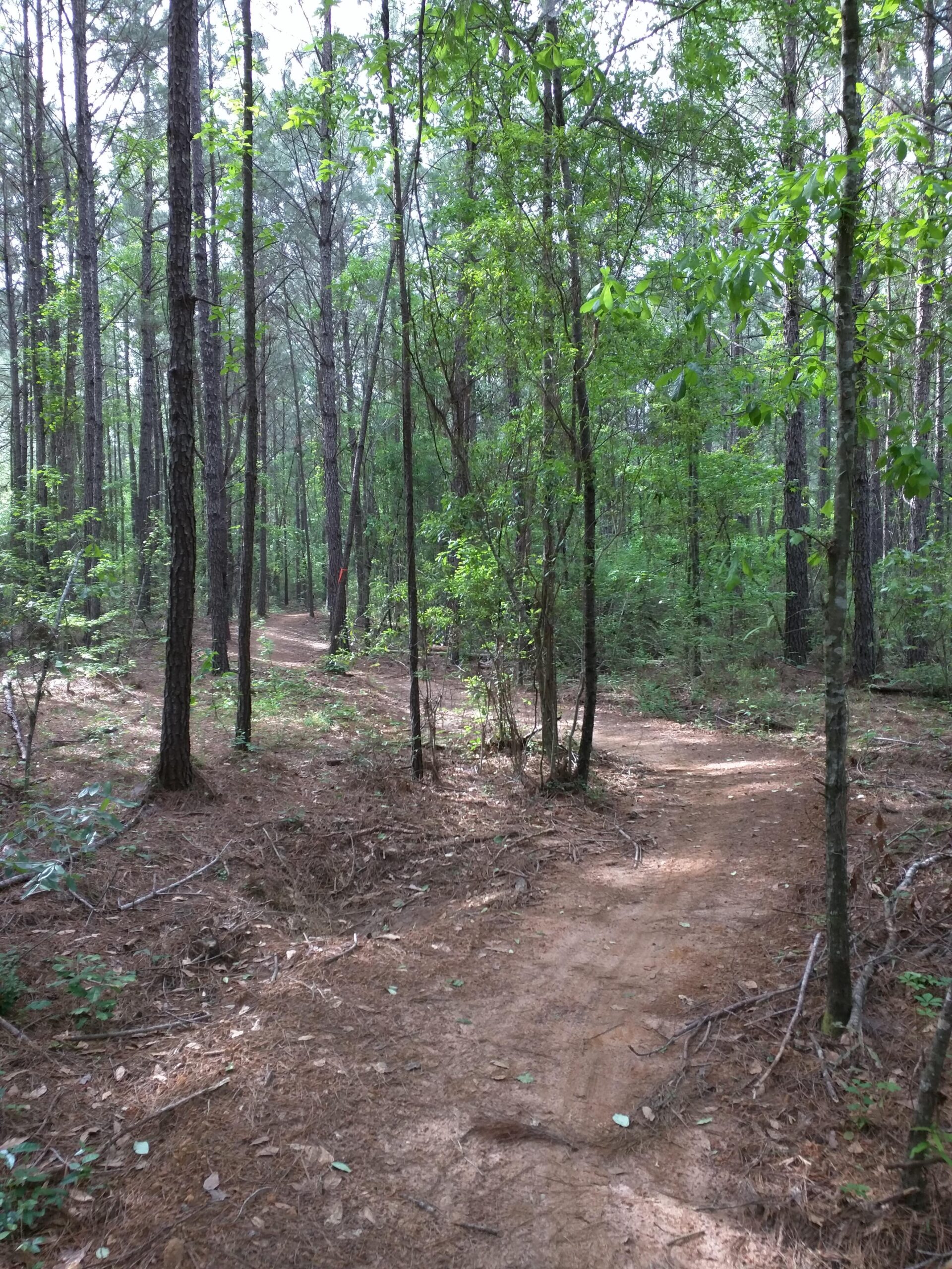
Mountain Biking Zion Cemetery Ridge
#75 of 99 mountain bike trails in Alabama
This is an east / green walking, running, mountain bike trail. You can enter it by the rear of the changing house or by the kiosk. There is also a bike tool / repair station and a wash station next to the changing house.
First added by CyberZion on Jul 5, 2016. Last updated May 5, 2020. → add an update
Before you go
- Drinking water: unknown
- Lift service: unknown
- Night riding: unknown
- Pump track: unknown
- Restrooms: unknown
- Fat bike grooming: unknown
- E-bikes allowed: unknown
- Fee required: unknown
This trail information is user-generated. Help improve this information by suggesting a correction.
From Ross Clark Circle and Fortner Street, go west on Fortner street until you get to the parking lot on the right side of the road at 3636 Fortner Street.

Loading reviews...View more