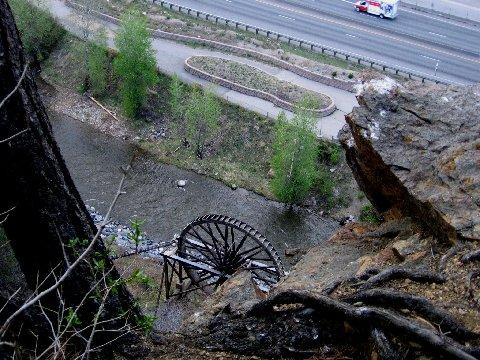
This trail is the old water line that was notched in ths side of a cliff. I think it was originally used for the Water wheel. 20 years ridding this trail and I still get a rush.Ride up hwy 103 to the Idaho Springs Cemetery, turn left and follow Red Fox ln. to the end turn right into the cemetery at the upper gate after a short distance you will see a road on your left ride up this hill stay left at the next intersection a little more climbing and you're at the waterline left again some nice single track here but watch your speed the cliff section is there before you know it!!! The single track comes out on a double track after a short distance look for a single track that takes off to the left down the gully.Follow this fast single track bunny hop the creek [a good place to get a view of the water wheel and Idaho Springs],ride past the church and down to Idaho Springs back to your car.


this trail is not worth the drive from denver. There is probably only a mile of single track, and then just a little more jeep trail. Hard to break a sweat before the ride is over. I do have to say the cliff is pretty cool and will get your adrenaline going.
* Review edited 7/18/2010
| ThankDid a couple laps yesterday. This is a fun trail. The cliff still intimidates me. Some places it is only about a foot wide and a couple hundred feet to the bottom. I usually combine this trail with Warren Gulch or Barbour Fork to make a 15-2o mile ride. Lots of climbing
| Thank