×

|
Rate it:
Tags:
Level:
Length: 22 mi (35.4 km)
Surface: Singletrack
Configuration: Loop
Elevation: +1,636/ -1,578 ft
Total: 8 riders
Mountain Biking Wannentritt
#18 of 35 mountain bike trails in Switzerland
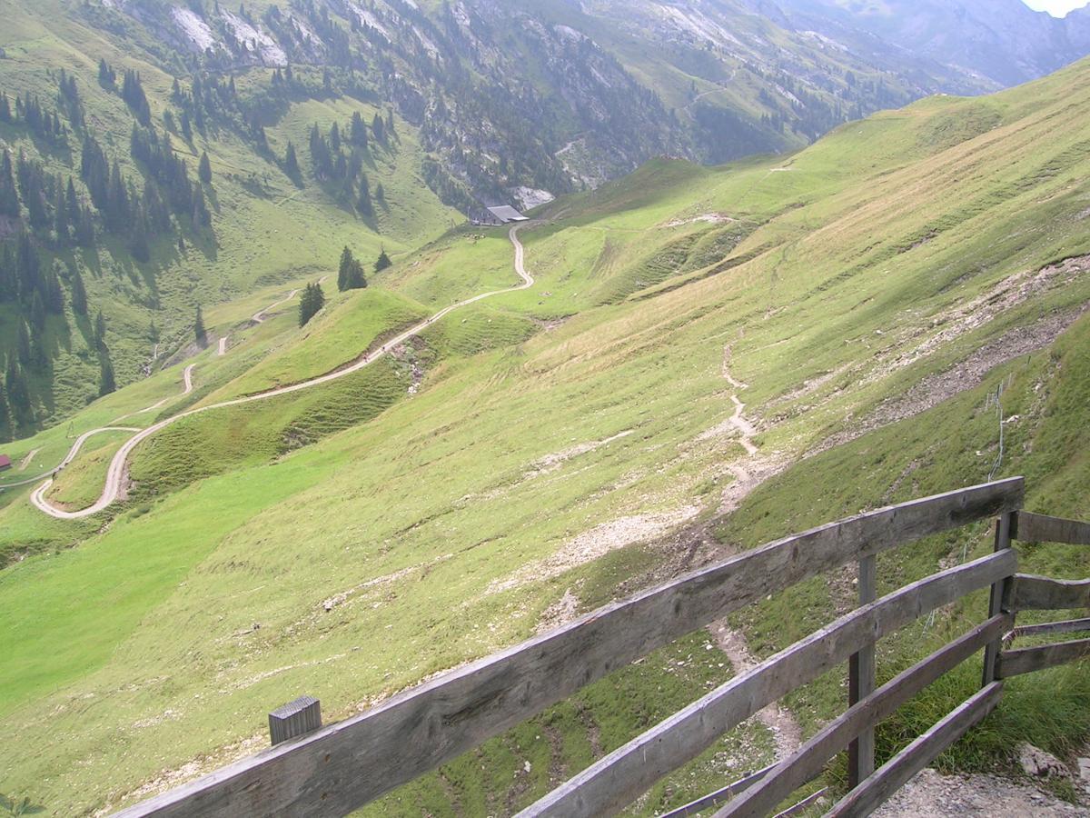
Stead, steep but manageable climb. You can ride all the way to Stoss, instead of taking the cable car, if you're up for it. The last climb to Wannentritt is challenging and mostly singletrack. The downhill from there is pretty cool, can be muddy in the spring and after rain. The views on the last leg back to Brunnen, high above Lake Lucerne, are amazing.
First added by roundabaum on Jan 21, 2010. Last updated Apr 28, 2020. → add an update
Before you go
- Drinking water: unknown
- Lift service: unknown
- Night riding: unknown
- Pump track: unknown
- Restrooms: unknown
- Fat bike grooming: unknown
- E-bikes allowed: unknown
- Fee required: unknown
This trail information is user-generated. Help improve this information by suggesting a correction.
From Brunnen, bike on paved road to Ingenbohl, Unterschoenenbuch, Oberschoenenbuch to the cable car that takes you to Stoss, a little town on a plateau. From Stoss, follow the double-track gravel road all the way to the ridge, which is called Wannentritt. Take the singletrack down across alpine meadows. It will turn into a double track and then into a small ashpalt road. Half way down the asphalt road, take a right onto a hiking trail that take you back to Brunnen above Lake Lucerne.