×

|
Rate it:
Tags:
Level: Intermediate
Length: 7 mi (11.3 km)
Surface: Singletrack
Configuration: Loop
Elevation: +363/ -355 ft
Total: 52 riders
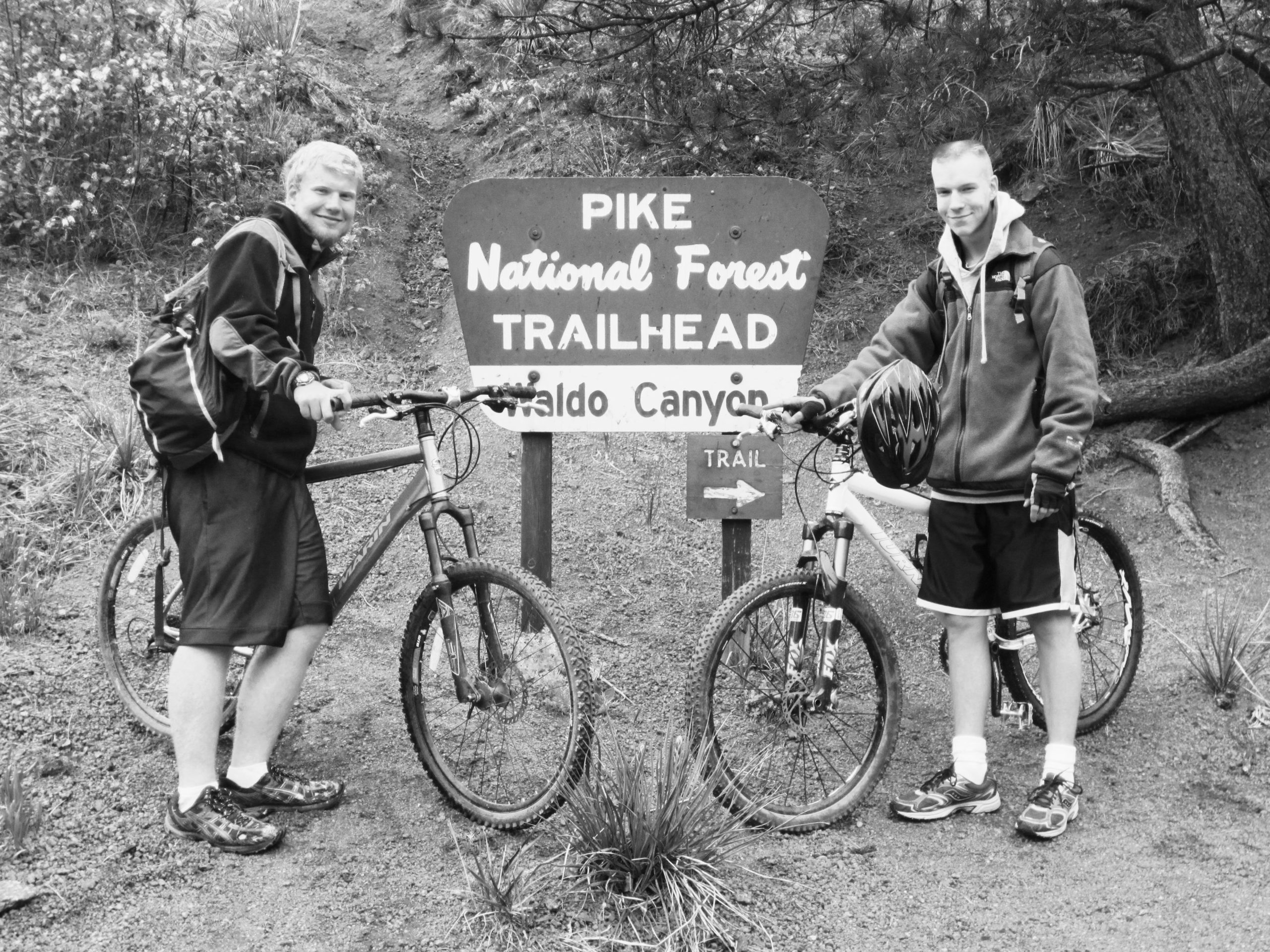
Mountain Biking Waldo Canyon
#310 of 1,373 mountain bike trails in Colorado
The trail starts from the parking lot at the top of the stairs. Ride up for about 1.7 miles to the loop trail. At the loop, go right to ride up the switchbacks or go left to ride up the steep creek side of the trail. The views are incredible and the climbs are difficult. This trail includes about 1200 - 1400 feet of climbing in the 7 mile route. After completing the 3.5 mile loop, ride back down the trail to the parking lot. Watch out for hikers as this is a very well traveled trail.
First added by searsandrewj on Jan 1, 2003. Last updated Apr 30, 2020. → add an update
Before you go
- Drinking water: unknown
- Lift service: unknown
- Night riding: unknown
- Pump track: unknown
- Restrooms: unknown
- Fat bike grooming: unknown
- E-bikes allowed: unknown
- Fee required: unknown
This trail information is user-generated. Help improve this information by suggesting a correction.
From Colorado Springs, take US 24 west towards Manitou Springs. Trail head is on the right, approximately 2 miles past Cave of the Winds entrance.


Loading reviews...View more