×

|
Rate it:
Tags:
Level: Easiest
Length: 31 mi (49.9 km)
Surface: Greenway
Configuration: Network
Elevation: +114/ -146 ft
Total: 44 riders
Mountain Biking The Tammany Trace
#28 of 51 mountain bike trails in Louisiana
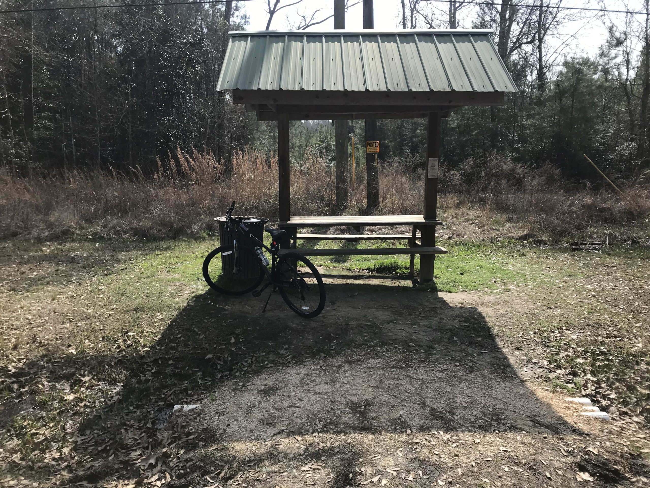
This 31-mile asphalted trail and parallel equestrian trail connects five communities--Covington, Abita Springs, Mandeville, Lacombe, and Slidell.
The Trace also serves as a wildlife conservation corridor, linking isolated parks, creating greenways, and preserving historic landmarks and wetlands. You can observe the natural habitat, bayous, streams and rivers from the vantage point of 31 bridges built on the original railroad trestles.
This is a truly beautiful trail.
First added by Baneamofe on Apr 16, 2004. Last updated May 8, 2020. → add an update
Before you go
- Drinking water: unknown
- Lift service: unknown
- Night riding: unknown
- Pump track: unknown
- Restrooms: unknown
- Fat bike grooming: unknown
- E-bikes allowed: unknown
- Fee required: unknown
This trail information is user-generated. Help improve this information by suggesting a correction.
Located on the northshore of Lake Pontchartrain, St. Tammany has easy access to New Orleans via the Causeway or the I-10 twin span. Interstates 12, 10, 55 and 59, U.S. Hwy. 190, and a vast array of state highways conveniently tie St. Tammany Parish to the entire country.
I have accessed The Trace from Fountainbleu State Park in Mandeville, off of Interstate 12, exiting south to State Hwy 59.
Map available at http://www.tammanytrace.org/find.shtml


So...I had to give it a 2 because it is not a MTB trail at all. That being said, it is great for road bikes or if your off road trails are rained out.
I have ridden it through Covington, Abita, Springs, Mandeville and partially into Lacombe. Did not make it all the way to Slidell and back on my mtb.
Enjoy a ride on this trail and lots of things to do on the ride as far as restaurants, cafe's, brewery, famers and flea markets, as well as live music. You can find some of these near the Covington, Abita Springs and Mandeville trailheads (I'd need a roadbike to venture all the way out to Slidell from where I get on the trail)
So, for what it is, it is VERY cool to tour and explore the towns nearby. It's just not a mtb trail.
| ThankFirst off: This is NOT a MTB trail. It's an old section of railway that runs from Covington to Slidell that has been blacktopped. My girlfriend and I like to park at the Covington trailhead and ride to the Abita Brewery about once a month for one of the tours (free beer!!). Nice, easy ride and you don't have to worry about getting hit by cars. The Abita Brew Pub is a great place to eat as well and it is literally right on the trail! Lots of little parks and stuff for smaller children to play on at the various trailheads. The Abita trailhead is the nicest of all the ones I've stopped at on the route.* Review edited 1/19/2012
| ThankLeave this to the Road Bikes....
| ThankRode this "trail" last weekend. It is not a mountain bike trail per se- it is a paved asphalt road. The asphalt is black in color, so you can guess what happens when the sun hits it. There are many areas adjoining the asphalt road that are labeled horse trails. Its off road, but the horse trails are rutted from the horse hooves and there are no inclines, turns, etc. Roadbikes, joggers, even an old guy in a trike were using the trail. Nice, low key ride without worry about getting hit by cars. Also patrolled by bike riding rangers who are very helpful and nice. If i were rating this as a mountain bike trail, it would be a 1 as lame- its not a trail. Because it was well maintained, safe and pleasant I rate it a 5.
| Thank