×

|
Rate it:
Tags:
Level: Advanced
Length: 15 mi (24.1 km)
Surface: 4x4 Trail
Configuration: Network
Elevation: -
Total: 6 riders
Mountain Biking The Levis Square
#142 of 392 mountain bike trails in Wisconsin
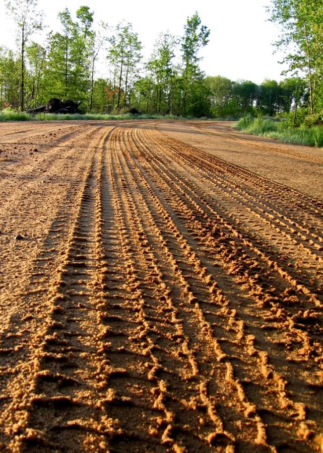
If you want an epic sufferfest with hardly any elevation gain or loss and
almost no gratification, ride this in the early spring time when these
swampy atv trails/logging roads are flooded with icy water and slick with
mud. Bring your sense of direction and keep your head on your shoulders
as you try to cross from one side to the other of this unmarked, swampy
spider web. And when you get across, loop all the way back around on the
roads because there is no way in hell you are riding back through there!
First added by Greg Heil on May 5, 2009. Last updated May 3, 2020. → add an update
Before you go
- Drinking water: unknown
- Lift service: unknown
- Night riding: yes
- Pump track: unknown
- Restrooms: unknown
- Fat bike grooming: unknown
- E-bikes allowed: unknown
- Fee required: unknown
This trail information is user-generated. Help improve this information by suggesting a correction.
From Neillsville, head south on Hwy 73 8.5 miles. Take a
left/merge/continue left off the turn onto Clark Ave/Horton Road/ Private Rd.
Continue about 2.0 miles and the pull off will be on your left.

Beautiful Views!
| ThankPS this area is commonly called "The arm pit of Clark County." Enjoy
| Thank