To make this a longer ride, if you have two vehicles, drive one down to Tea Creek Campground. As soon as you cross the bridge into the campground park it on the right in the parking area. This will be your end point. Go back up the mountain and park at Little Laurel overlook. You can then ride up Tea Creek Mountain trail and ride it to the bottom. Or you can add miles to it and do the Red Run, Right Fork, Tea Creek Mountain loop. It's just short of 12 miles. Ride up Rt.150 and take Gauley Mtn. Trail, ride it 3.1 miles to Red Run Trail. Go left on Red Run (really tough trail). Just after hard left switchback you will hit Right Fork trail. Go straight (actually left) on Right Fork and start you climb back to the Tea Creek Mountain Trail. There is a gps file here on singletracks for this ride. When you get to the Right Fork Connector trail, go right across a boardwalk and climb to the field that takes you to where you started. Then turn right and climb Tea Creek Mountain Trail and ride it to the bottom. Go straight down the mountain and do not turn right on North Face Trail (not recommended). Tea Creek Mountain Trail will dump you out on Williams River Trail, just bare right and cross the wooden bridge over Tea Creek and back to the parking area. Awesome ride. Note that Right Fork trail was overgrown a bunch when we rode it in July, 09. These are true back country trails, not manicured singletrack. Expect the ride to be slow with a bunch of obsticles to play on along the way. Challenge yourself and ride all the trails in the area. Bear Pen, Boundary, Gauley Mountain, Bannock Shoals, Props Run, Cow Pasture, Kennison Mtn., Pocahontas, etc. etc. The area can keep you busy for days.


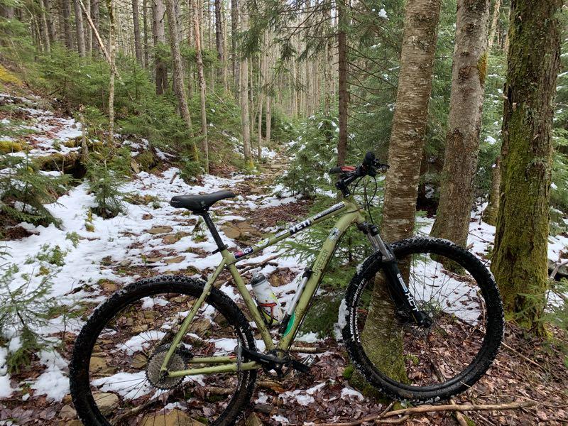

Very rocky, poorly maintained, very slow travel so not for the adrenaline junky, make sure you have a full suspension when using but definitely was a pretty trail but had no real views.
| ThankCan't speak specifically to the trail, but can note that the first 1/2 mile is being rebuilt with a mini excavator. Was not able to ride this weekend, but will be back at months end with an update.
| ThankThese are fantastic trails of the classic sense. The rock garden at the top of the mountain is in my dreams, someday I will clean it.
| ThankThe descent to the campground was pruned and cleared this year. So much better than it was this spring.
Just noticed I never added a difficulty rating. NOT FOR THE FAINT OF HEART !
| Thank