×

|
Rate it:
Tags:
Level:
Length: 20 mi (32.2 km)
Surface: Other
Configuration: Network
Elevation: +416/ -444 ft
Total: 3 riders
Mountain Biking Stadtwald To Weipoltshausenwald
#82 of 151 mountain bike trails in Germany
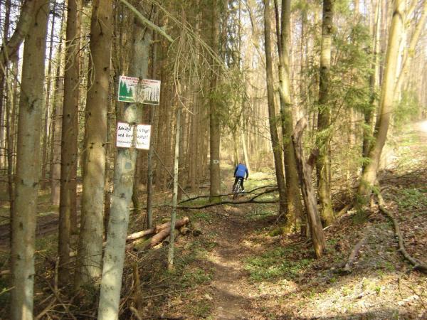
The trail starts out as tractor trails though the fields, drop down the single track into the town of Dittelbrunn. Cross over the Hauptstrasse and climb toward the US Army's Victory training center. Once on top of the hill stay to the right and follow the road along until the field opens on your right. Take the last tractor trail at the end of the field. At the bottom look for fire road to your right follow into the woods and find the single trac to the right. You are now conected to great mixed network of single track.
First added by gone4a_ride on Apr 13, 2007. Last updated May 1, 2020. → add an update
Before you go
- Drinking water: unknown
- Lift service: unknown
- Night riding: unknown
- Pump track: unknown
- Restrooms: unknown
- Fat bike grooming: unknown
- E-bikes allowed: unknown
- Fee required: unknown
This trail information is user-generated. Help improve this information by suggesting a correction.
From Schweinfurt take route B-303 to Neiderwerrn. In Neiderwern take the Kautzen strasse to Braun strasse. Take a left onto Braun and follow to Nordring. The trail head is on Nordring.