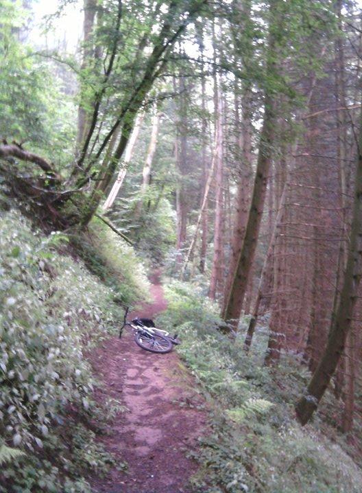
Okay this trail for me started on the Air Base. I rode to the main gate and exited. From here it is up to the rider on what way you want to get to Kyllburg. Germany has numerous bike trails that will get you anywhere. The main direction you want to travel from the Air Base is NorthWest. Main villages you'll go through or to look for: Gelsdorf, Gindorf, Orsfeld then Kyllburg. Trail is mostly paved bike trail but you will also come across main road, doubletrack through fields and you will get some nice singletrack although not much. To get to the singletrack. Once in Kyllburg head toward the main train station and as you are looking at it take the road left up the hill. Once at the top of the hill the main road will wind around and go down. You are looking for some cobblestone to the right (hard right). Follow that and you will see a road that goes up and by up I mean STEEP up, that is the road you want. About 300 meters up that hill you will see a trail beginning with steps on your right. Take that trail and it will lead you through a series of switchbacks to some sort of monument. Go up the steps to the monument and behind it you will see the trail continue. From there follow the signs for Kyllburg Banhof. This is were there nice singletrack begins and it is all downhill to the banhof. You can start your ride in Kyllburg and explore the trails, there seemed to be more than just that trail. As for me, I started at the Air Base and the Air Base is where I was headed.

Part of the larger Germany trail network. I've posted this trail and once I get back to the States I will download my route. I'm giving it an easy rating because about 24 of my 25.5 miles were on paved or gravel roads and double track. The singletrack was mostly all downhill. Be advised though that riding it from the Airbase, getting to the singletrack and getting out of Kyllburg you will be riding some steep or long climbs. All manageable since it is on the road.
| Thank