×

|
Rate it:
Tags:
Level: Beginner
Length: 6 mi (9.7 km)
Surface: Doubletrack
Configuration: Network
Elevation: -
Total: 6 riders
Mountain Biking South Alamo Foothills
#158 of 287 mountain bike trails in New Mexico
Trail consists of four main loops that can be linked together for a longer ride.
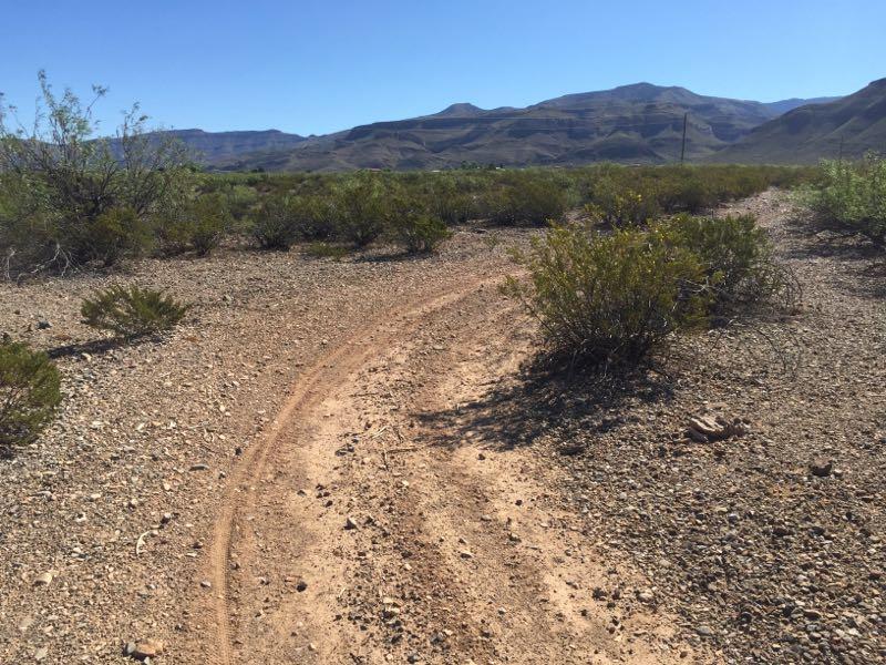
Trail surface ranges from lightly to very rocky in parts (particularly near arroyo crossings). Lots of potential for flats (big thorns, cactus, and tons of rocks).
Very little elevation gain (~300 feet or so) with gradual slopes up to the base of the Sacramento Mountains.
First added by pawndream on Jul 11, 2010. Last updated May 8, 2020. → add an update
Before you go
- Drinking water: unknown
- Lift service: unknown
- Night riding: unknown
- Pump track: unknown
- Restrooms: unknown
- Fat bike grooming: unknown
- E-bikes allowed: unknown
- Fee required: unknown
This trail information is user-generated. Help improve this information by suggesting a correction.
These trails are located on the east side of the Desert Lakes subdivision (near golf course). Park near Florida and Desert Lakes. Access the trail network by riding on the dirt road running parallel to Florida (head south). Can't miss it.


These trails are fine if you live in Alamogordo and want a quick ride option, but I wouldn't plan a trip to come check them out if you live elsewhere.
These trails see quite a bit of use by ATV's and dirt bikes, but are in pretty good shape (meaning they are not a huge sand pit).
The Playground is a large gravel pit where you could do some hucking over mounds/ledges if you wanted to. I've seen people on FR/DH bikes wearing body armor coming out of this area from time to time, so I think this is a place you can try to hurt yourself (if that's your thing).
South Loop has quite a bit of rocks on a steady, slightly uphill slope. The trail becomes ragged at times, because it doesn't get as much use, but it's definitely worth checking out. Overall, it's probably the most technical of all the loops (though portions of other trails are more difficult).
Mule Canyon Loop is the biggest climb and towards the top it gets pretty difficult because the trail is babyheads mixed with baseball-sized rocks. There is a short section at top that is an out and back, but it's worth it to go all the way to the top. You can catch a lot of speed bombing this trail back down, which is pretty challenging due to the babyheads...
There is also singletrack trail that heads up the right side of Mule Canyon at the top of the out-and-back, but I have only checked out about a half-mile of it (it's supposed to go back about 3 miles). After a half mile it gets pretty sketchy (exposure) and very little traffic goes through there...unrideable.
Powerline Loop follows an arroyo on the south side. There's also another out-and-back at the top of this loop (which were it not for private property, you could easily link with Alamo Canyon...but there's a barbed wire fence and signs that lets you know when you've gone too far). The north section of this loop actually gets pretty technical in the arroyo crossings. There's also quite a bit of whoop-de-doos on the north side.
There is no water to be found here, so make sure you bring your own. And stuff to fix flats! Can't stress this last part enough.
Recommended Route:
From Florida
Ave trailhead:
Hit Playground. Follow Old El Paso Highway trail all the way to South Loop. Link to Mule Canyon Loop. Ride to top. Bomb back down. Powerline loop. Ride to top. Bomb back down.
Wash, rinse, and repeat.
| Thank