From the parking lot you will see a dirt road to the left of the housing area. Take this road for .5 miles. You will see a fire road to the right which will get you to the singletrack. At .9 miles is where the lollipop begins. You can go either left or right, you'll get the same either way. I went right and from this point the trail is very tight and steep but very ridable. My Garmin said the grade was 30%, for once, I believe it. At 1.2 miles you will pop out onto a road and by pop out, I mean POP out. BE CAREFUL! Take a left and ride on the road for about .2 miles. You will see a sign for an old one room school. This is where you get back into the woods on the left. Once you get past the school the singletrack begins again. You don't get long to get prepared for the uphill walk. Remember the 30% grade coming down, you get to go back up now. Garmin had it at 38% here. At 1.8 miles you come the the split in the trail and take your right to take you back to the beginning of your journey. Either way you ride this one, you're gonna get a nasty uphill battle. If anyone rides this and actually rides the entire thing. Call me, I want to meet Superman. The singletrack portion of this trail is tight and overgrown.


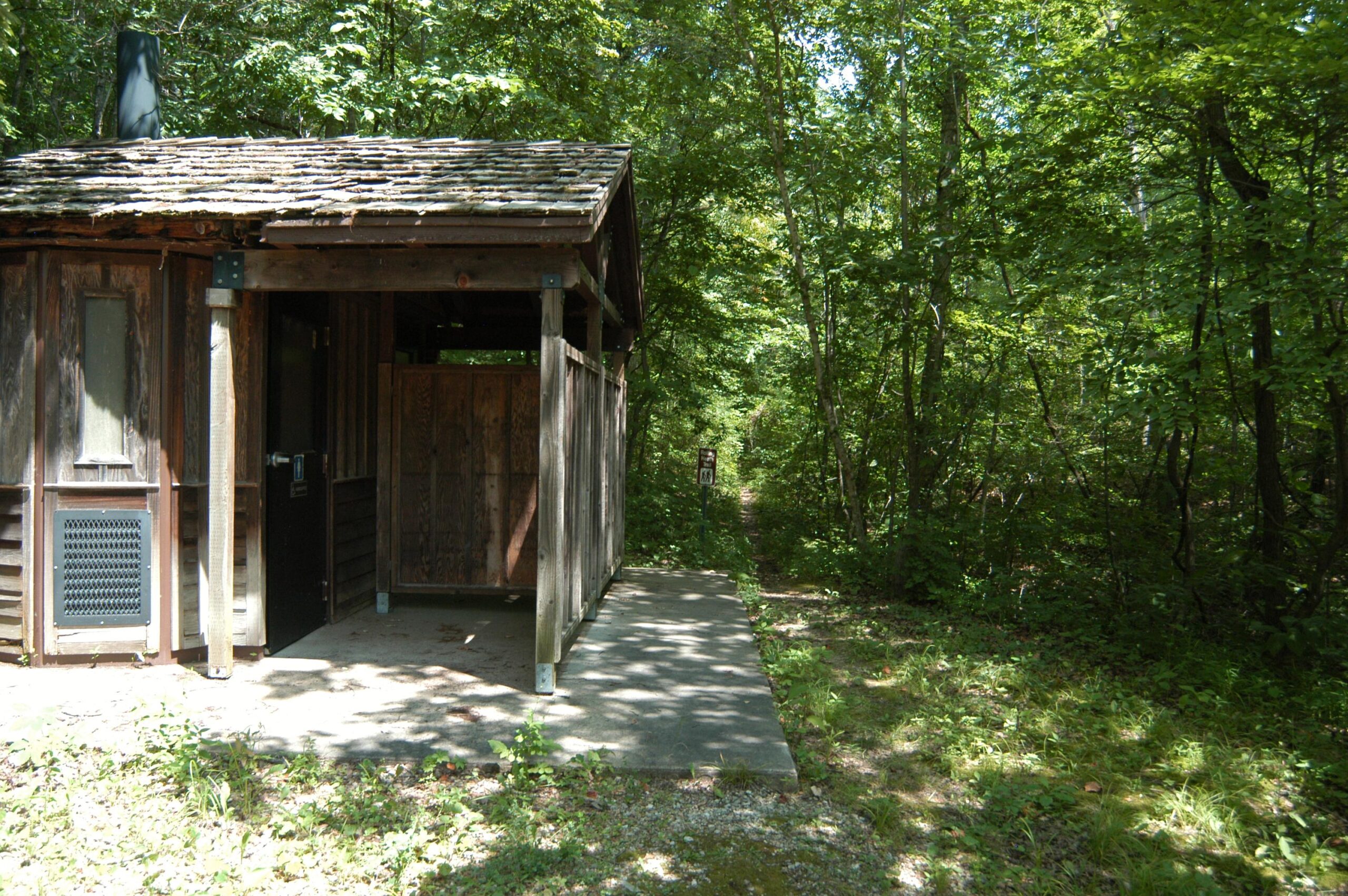

From the parking lot I took the gravel road (FLW 22) recommended in the instructions. A half mile down this road, a short ride on double track to the woods line there is a sign that marks the "loop" trail to the spring one way and the schoolhouse the other. Taking a right I eventually came to the spring and, farther down a paved road, the small schoolhouse. In back of the schoolhouse are bathrooms and the beginning of the return trail. This is where I ran into trouble because the trail seems to peter out a short distance into the woods. I spent a long time searching the steep hillside for the correct return path in overgrowth and deadfall and eventually gave up. I returned the same way I came. Total distance was less than 4 miles.
Sandstone is rideable (downhill) but seems better suited to foot traffic. There is no reason to go out of your way just to ride this trail. But if you happen to be in the area the spring and schoolhouse are worth a quick stop. It may be more enjoyable to just drive to the beginning of the loop and hike.
| ThankRode this just Saturday. Beginning was fine, then it began to get confusing after you started the second portion of it after you enter the trail behind the one room school house. A descent trail if you just come across it. Other than that, nothing to brag about.
| ThankI only rode down the main hill, very steep but fun, and then finished my rides on the roads while Geocaching. Make sure your brakes work before starting! Just to help-
Parking lot an Dirt Road:
N 37.44.653
W 092.05.317
Trailhead Coordinates:
N 37.44.577
W 092.04.841
(you can park here too if you want)
Rolling Heath School Trailhead and Bottom Parking Lot:
| ThankN 37.44.365
W 092.04.594
Not long but a short lung buster. If you are not an at least decent rider, I wouldn't ride this trail. It is steep both up and down and narrow. Not very technical but the steepness and width of the trail make it challenging.
| Thank