This is a shared use trail that winds through conifer woodlands up to a viewpoint overlooking a large swath of the Southern Willamette Valley. The entire trail is well gravelled and well maintained. It gains around 1,000 ft. and is technically easy, but aerobically moderate.
The first section climbs gradually at first, then becomes a little steeper as it follows a tree-lined canon across several bridges and through a number of switchbacks. It pops out into a large gravel parking lot on Fox Hollow Rd.
The second section is to the left. Take the lower of two paths as the upper is for foot traffic only. This section rolls and twists along a wide, smooth path for about 3/4 mi. until it climbs the last 1/4 mile through two switchbacks to another gravel parking lot on Dillard Rd. Resist the temptation to go too fast (as the trail fairly begs you to) because there are frequent hikers and other riders on this trail.
The third and final (and steepest) section begins in a paved parking area about 3/4 mi. to the north on Dillard Rd. Here, too, there are two trails. Take the one on the right that passes under the power lines and across an access road. Continue to climb steeply till you reach an intersection of trails. The lookout--complete with a beautiful memorial bench-- is to the left a couple hundred yards.
If you want more riding, and a lot more exercise, go to the right at the aforementioned intersection and follow this trail to its terminus on Spring Boulevard. Turn around and ride back up this steep, switchback-filled singletrack.
These three sections are the only ones open to bikes. Please respect this as the local parks dept. may choose to close all trails to MBs if folks abuse what we do have.


 4
4
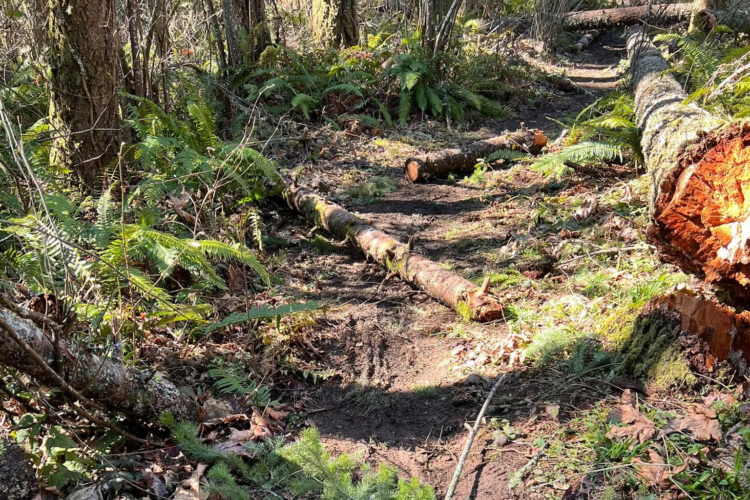
This trail is rated "beginner," but if your beginner is a child, keep the following in mind: There's quite a bit of uphill, narrow paths with some steep drop-offs, other people, dogs, bikes on the trail and periodic small obstacles. Not perfect for a beginner ride. But otherwise really pretty!
| ThankThe real beauty of this trail is it's proximity to Eugene--It's in the city limits. It's a great workout with a nice viewpoint at the top. Also, It's rideable all year due to the heavy gravel layer.
| Thank