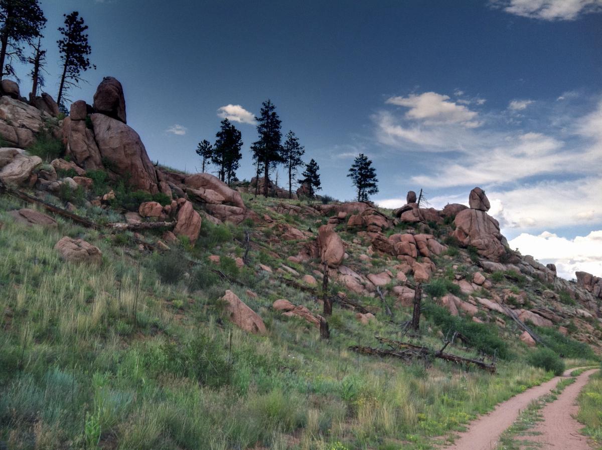
The trail here is similar to other Colorado Trail sections in the area, though the first 3 miles or so
are heavily used by horses and the tread is sandy and broken up in places. Ride on the Colorado
Trail, mostly downhill for about the first 5 miles. At the second road crossing, turn left (FS Road
543) then take a quick left onto FS Road 550. Go about a half mile and turn right onto Gashouse
Trail. Take this up on singletrack and continue to Miller Gulch trail. Turn left onto Miller Gulch
trail, go through the gate at the top of the hill and turn right onto FS Road 553. Follow this down
and make a left onto FS Road 549, then continue left onto FS Road 553. Go up the second road
on the right, through the gate back to the intersection w/ Colorado Trail. Go right and climb
about 2.5 miles back to the trailhead. We did the loop backwards, it's pretty easy to get lost out
here with all the roads and trails. Pretty good trail but we got stuck riding the trail at the same
time as some horseback riders. Still a good workout and some nice singletrack in the woods.


Like mos tof the BC system, this is a great ride. You can easily replace the dirt road in this ride with singletrack. Check out the Singletrack Maps -- Buffalo Creek map to design an all singletrack route!
| ThankGreat trail, cool scenery. Rode it on a Sunday afternoon, and encountered only 3 other groups in 15 miles. It was a little sandy, but nothing too bad. Just wish the descent on FS Road 553 could be single track too.
I was a little confused by the directions. Here's what I saw:
| ThankThe initial Colorado trail descent is 4 miles. At the second road crossing (FS Road 543) there is a culvert where the creek flows under the road. At the top of Miller Gulch, I didn't see a right turn, just a trail-head and campground. Go past the campground, then turn left onto FS Road 549 (Towards Bailey). When descending on FS Road 553, the second road that takes you back to the Colorado trail has signs for the rifle range.
like trek7k said, it's the colorado trail...
| Thank