×

|
Rate it:
Tags:
Level: Intermediate
Length: 8 mi (12.9 km)
Surface: Singletrack
Configuration: Network
Elevation: +456/ -770 ft
Total: 43 riders
Mountain Biking Preddy Creek
#69 of 300 mountain bike trails in Virginia
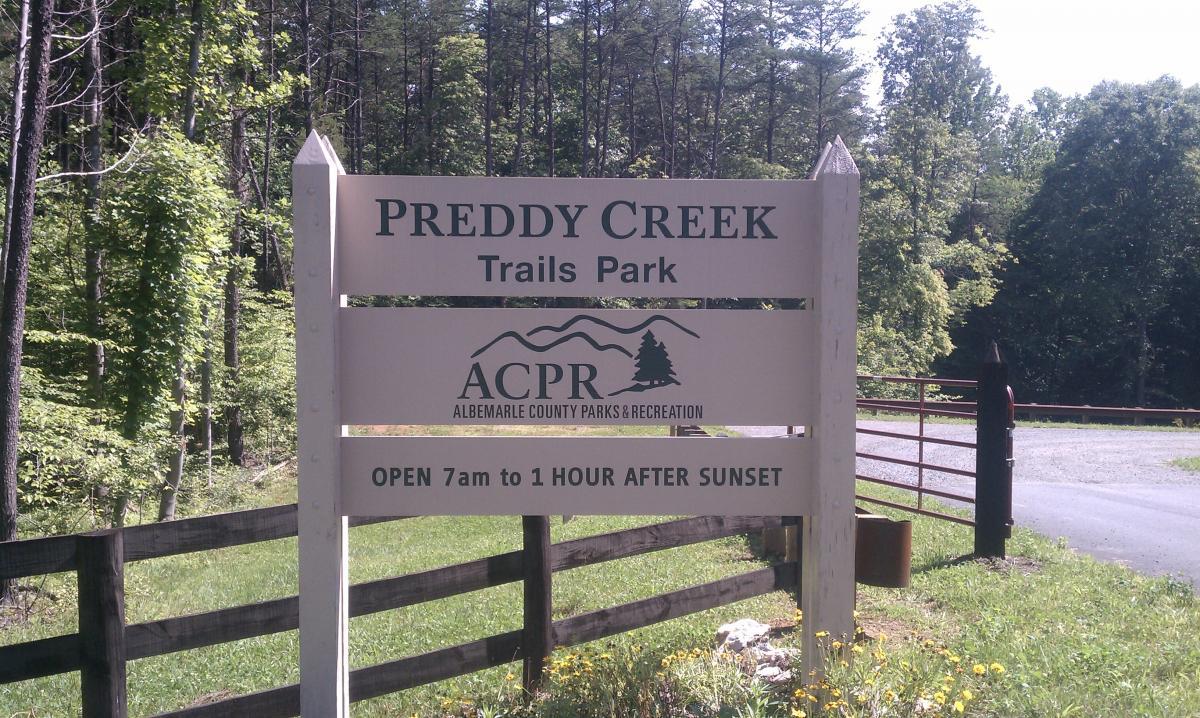
http://albemarle.org/department.asp?department=parks&relpage=12589
This is a multi use trail system that is managed by Abemarle County. A large
outer loop with a handful of crisscrossing trails through the center. Hard
packed, flowy, wide compared to other local trails. The county web site
indicates there are 8+ miles of trail but it feels like 4 when you are riding.
First added by trnsprt on Jun 5, 2011. Last updated May 11, 2020. → add an update
Before you go
- Drinking water: unknown
- Lift service: unknown
- Night riding: unknown
- Pump track: unknown
- Restrooms: unknown
- Fat bike grooming: unknown
- E-bikes allowed: unknown
- Fee required: unknown
This trail information is user-generated. Help improve this information by suggesting a correction.
2 miles East of Route 29 on Burnley Station Rd. Head north from
Charlottesville on Rt 29 or South from Culpeper. Exit to the East on Burlney
Station Rd. Appx 2 miles East on the North side of the road is the well marked
parking area.


I rode here a couple of times while visiting Charlottesville. The maintenance was spot on, and the trails themselves are great fun to ride. Miles of flowy singletrack with the occasional tricky spot will put a grin on your face. Great layout and amazing signage. Heads up for folks on foot, this is a well used suburban park.
| ThankI did the 5 mile loop and the advanced trails on my ride. The Preddy Creek Loop is super easy and a great place to take kids if you have any. The advanced loop is really fun, but leaves you out of breath when you get to the end.
| ThankNice, well maintained trail system with some decent technical areas. New trails on the other side of the creek are nice and flows!
| ThankDecent trails shared with horses, but the mountain bike park area is a blast! Not too difficult, more fun than technical. If I go again I will do this section over and over.
| ThankFirst time riding the trail since my review 4 years ago. Trail has developed into some very fast, flowing, wide single track. Its a blast to ride fast, but there is a lot of traffic. An advanced loop has been added ( no horses), and is more like your typical ST, While not very technical, the advanced trail dips through numerous erosion gullies, which will check your frame for cracks, or crack your collar bone if not careful. ( see tolyho's review) The negatives are traffic, shortness, and horse crap.
| ThankI upgraded the difficulty level because it can be whatever you need it to be! You can go very fast here and the extra MTB loop adds difficulty. The downsides are that its a little too short and you need to do some of the inner loops to make it last longer, it gets VERY wet and it is heavily used. I only enjoy this with my kids (and this is great for kids and beginners) or going very fast, and I can't do that on the weekends when it is heavily used.
| ThankThe rating of Beginner might throw out-of-towners off from getting a loop in on this little gem. The main loop (Preddy Creek Loop) is flowy and fast as well as shared with hikers and horses. If you venture into the Advance Mountain Bike loop it adds a whole new dimension to the ride with tight trees to navigate in the middle of whoops, roots and jumps. There is a small creek/drainage section with optional lines that places this into more of an higher intermediate category IMO. Bridges are 24" wide and a couple are 6' over the creek bed just after fairly large jumps. All in all just a fun trail to ride a couple of loops on with in 15 min of Charlottesville. If you're passing from VAB or RVA to the mountains to ride or on the way back I'd give it a look-see.
| ThankThis trail is really flowy and fun. The down side of the park is really the only trail used the the main loop. Other than that, it is really fun.
| ThankI rode this trail July of 2012, it was HOT. A lap of the outer loop, including a preview of the advanced loop (I was riding with the builder). I was on a rigid SS and the trail was fast and flowing on that, and the advanced loop was a bit more technical, still a bit rough when I was there. In all this was a very fun trail to ride, I can imagine it being enjoyable for any level of rider, as speed would increase difficulty on any of the trail there, but beware of other users!
Updating: Rode this trail again 11/3/13. The Advance Loop is finished, or at least, open. It still lacks some finish work in places, but it's quite fun. They are serious - if you can't ride the gateway feature into the advanced trail, don't ride the advanced trail. If you can ride it, what a blast. The gully wall ride sections are a treat. The rest of the trail is still a lot of fun, but a lot more people use it on 70 degree days in the fall than 107 degree days in July.
| ThankCAMBC is about to open the expert loop which adds about 1.3 miles of trail to bikers/hikers only. The outer loops is a great workout ride, not technical but flowy and fun with plenty of areas to endurance train. Fast riders can do the outer loop in under 25 minutes so plan on doing two loops for a decent workout. Plenty of parking and boy/girl loo.
| ThankBeginner level XC type single-track. Great for a easy cruise through the woods. Would be a lot of fun ridden fast, but must remember you're sharing the trail with hikers, runners, and horses. Still a good place to strech the legs if in the area.
| ThankIdid the trail description above. Please note that where I say a "large" outer loop I am speaking in relation to the rest of the trail. This is not a large area. Compact, but very enjoyable.
Made possible by the Charlottesville Area Mountain Bike Club the Preddy Creek area is a new trail system. It is a multi use area so there is a lot going on there. Many people on the trails on the weekends. Please be courteous to all.
This is a super flowy, fun, hard packed trail. There are no monster up and downs. Just a great loop with a number of connector trails in between. The trail is very smooth right now (Summer 2011) with some roots and very few rocks. A handful of small stream crossings and a log roll or two thrown in for fun. I ride a single speed bike (poorly) and it is perfect place for going out and having a fun ride without having to worry about hike a bike. Not a destination to travel from afar for but worth hitting if you are in the area or coming up from Charlottesville or down from Culpeper area.
This is the kind of place you bring your beginner friends, kids, spouse to introduce them to mountain biking. It WILL get them hooked if they have any inclination for the sport at all. Or the sort of place you go as an intermediate rider to build confidence. The trail is wide enough for a horse with just a few really tight turns and switch backs. It is tremendous fun. Great, fast design with a bunch of whoops all over the place. I don't think it is going to satisfy the hard core rider looking for a thrill. But for everyone else (including the hardcore rider who wants to hook up multiple loops for aerobic training) it is a blast. The one drawback (for riders) is the multi use which means you are going to have to watch out for horses and their left overs.
It looks like the bike club is working on a MTB only portion of the trail too. But as of now it is not yet complete.
Get out and give it a try! Fun little system that the members of the CAMBC should be very proud of. Thanks!* Review edited 6/5/2011
| Thank