×

|
Rate it:
Tags:
Level: Advanced
Length: 5 mi (8 km)
Surface: Singletrack
Configuration: Network
Elevation: +259/ -267 ft
Total: 21 riders
Mountain Biking Pincushion Mountain
#23 of 138 mountain bike trails in Minnesota
Go east from the XC ski stadium area on Pincusion Mountain Loop (ski trail). After roughtly 3/4 of a mile, turn north off of the ski trail onto singletrack.
First added by namdoogttam on May 24, 2013. Last updated May 6, 2020. → add an update
Before you go
- Drinking water: unknown
- Lift service: unknown
- Night riding: unknown
- Pump track: unknown
- Restrooms: unknown
- Fat bike grooming: unknown
- E-bikes allowed: unknown
- Fee required: unknown
This trail information is user-generated. Help improve this information by suggesting a correction.
From Highway 61, go north up the Gunflint Trail 2.5 miles to Pincusion Drive (right). Park in lot and start at XC ski chalet trailhead.


Absolutely loved the ride. Canadian shield was great. Could not believe I had this place to myself the day before the Lutsen 99er. Every trail was clear except one tree. I rode clockwise. Definitely some rock. Gravelly corners so I wasn't flying. Great workout.
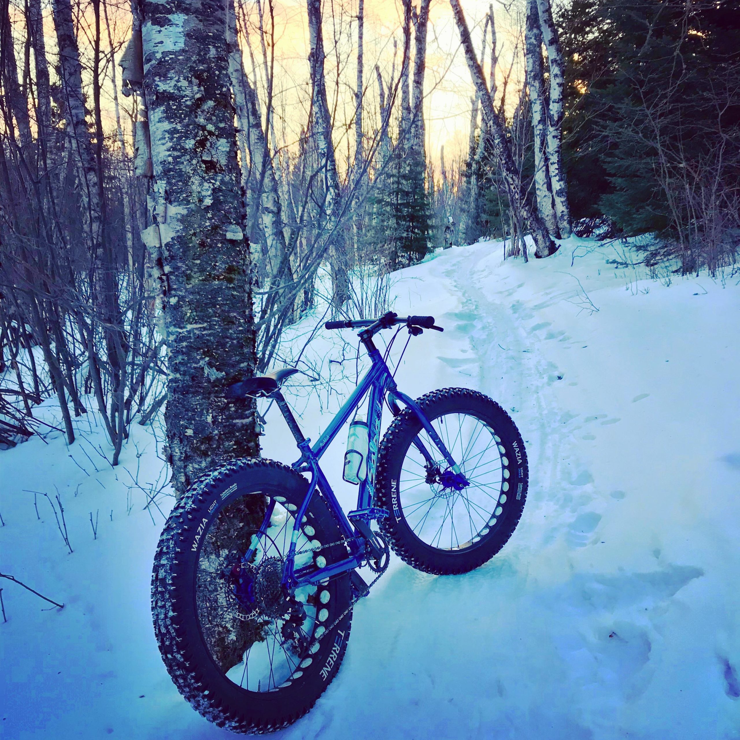
| ThankRode the trails in February, with a good snow pack. Fun, flowy trails for the most part. Bet they rip in the summer. Signage could be a little better. Spectacular views from the parking lot.
| ThankVery fun trail - fairly well marked, and lots of diversity. Fluvian trail is an absolute blast. Lots of new trails as well. I'd recommend the Tilt-a-whirl trail if you come across it. Great trail!
| Thank