If your idea of fun is an 18 mile/3000 foot climb up boring fire roads followed by a 15 mile descent down singletrack that will throw everything at you, ending with yet more brutal climbing, then this is for you. The first part of the climb has a moderate grade, but the last half is brutal and unrelenting. Be in shape or shuttle it--if I ever do this one again, I will. As a shuttle, I'd give this four stars. Climb up the Logging Creek road for 7 or so miles and head left when the road meets Divide Road (the sign will indicate you are going toward White Sulphur Springs. Continue another 9 or so miles, past numerous trails. When you see a sign on your left that says Deer Park, you're getting close. A few more curves and you will see a sign indicating Pilgrim Creek to your left. The singletrack starts off extremely rough--long fields of baby heads, both loose and embedded. Then the trail begins its desdent. It gets crazy steem in places--hang your b*** off the back or go over the bars. There will be many drainage crossings with technical entry/exits. You will also cross Pilgrim Creek numerous times. , not always rideabe, so you will get wet. Along the route, you will encounter roots, rocks, drops, water, climbs, ruts, muddy bogs, loose dirt and sand--you name it. This trail is also very remote and there is no escape from its interior--be self sufficient. An adventure to be sure.


Great trail but only if you really dig cross country style rides. While there are a few miles of wild downhill, there are also 11 miles of old-school XC riding. It's a nice singletrack aside from the rocky stuff at the very top.
| ThankYou can ride the whole loop if you are a masochist. It is a long, boring road with
| Thanka few death climbs, so most people run a shuttle.
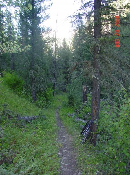
The first 1/2 mile or so of trail is very rocky and flat. Then the trail drops steeply
for 3-4 miles. There are some wild descents in this section. When you reach the
creek bottom, the trail flattens out and becomes an 11 mile cross country style
ride through meadows and woods. Lots of ups and downs with a variety of trail
conditions. The "downhill" ends at Belt Creek, which you must ford - DO NOT
ATTEMPT IN HIGH WATER! After that, you climb a mile or so out to the shuttle
car on Logging Creek Rd. It's very anticlimactic.
As a shuttle this trail is super fun. Works best as a later season ride, because you cross belt creek before the climb out.
| Thank