A really great place to ride, convenient to where I live. It's close to Norris Dam, which was one of the first to be built under the Tennessee Valley Authority. Good trails for all abilities and skill levels. Most trails are doubletrack jeep roads, but some places are almost narrow enough to be called singletrack. There are a few really steep climbs here and there and some killer, fast downhills, but nothing too technical. Here's my favorite route (see map, http://www.cs.utk.edu/~dunigan/mtnbike/normap.gif): Start from the water tower and climb up the highpoint trail. It's a long continuous uphill, dreadful if you're not ready for it. Continue until highpoint runs into Raccoon run; it's marked with a sign and there's an old yellow gate also marking the trail. Raccoon starts off with some fast downhill. My favorite part is a long downhill section with numerous drainage dips across the trail. My friends and I see who can get the biggest air off of these whoop-de-doos at about 25 mph (or more). The trail continues to the right to begin a steep, loose ascent. If you've got semi-slicks like I do, you're better off pushing. Continue up the trail until you come across a trail to the left making a "Y" intersection with racoon run. Take a left on this trail, and watch for horses and their momentos. Continue until you reach a "T" intersection, you're now back on highpoint. Take a right downhill. Continue on highpoint, which is a good mix of uphill and downhill, until you reach upper clear creek road, which is a wide gravel road. Hang a right on this road; watch out for the speed demon rednecks kicking up dust. Continue down this road, past the rifle range on the left. Watch for the Mockingbird Run (is that name right?) trail off to the left. Be careful, the trail is kinda rocky. Continue on until you run back into highpoint, and hang a left, heading back uphill, I think. You should see a sign on a trail branching to the right, saying something to the effect of "To US 441, no motorized vehicles, horses, etc." follow this trail downhill. I can't remember exactly, but it's either this trail or the other that leads to the Tea room, on a very steep, uneven downhill (I would walk, but you may not.) It should lead to a paved road, with various cabins around. Keep left on all the roads, and this will eventually lead you to right next to the dam. You can ride across the dam, which was built in 1936. If you don't want to, you can take a left and ride down the two-lane 441, which is a long downhill to Lower Clear Creek Road (the one the grist mill is on). Ride back up the road and across the creek (great in the summer) and to the water tower. Turn left, and you're back at your car. The reason I'm not sure about some things is it's been awhile since I've been on some of the trails; if there are any grave errors here, email me and let me know, or I'll post an update or something. I'm up at Norris as often as I can get up there, so if you see me and my big red Trek, say hi or something, and you can curse me for giving you the wrong directions here or something. If you have any general questions, e-mail me at [email protected]


Norris is a nice place to ride. if you go to the comunity center you can get a helpful map of all the trails
| ThankWhat these trails lack in technical challenge they make up for in the fact that they offer a lot of long climbs and descents on surfaces that drain almost immediately even after every other trail in the greater Knoxville area have turned to muck. My only gripe is that most of the trails are basically fire roads -- not much that could be described as technical.
| ThankNorris (aka The Watershed) is a great network of trails that is improving. With the completion of the Lake View trail (4+ miles of new trail, not fire road) you can now access the trail system out of the East campground or cabin area for those wanting to make a weekend or overnighter of it. The watershed is not well known for its single track or technical stuff but it is there if folks would take the time to go exploring. Ridgecrest & White Pine are both excellent single track. It's also well worth it to go explore Belmont and the other trails on the east side of Upper Clear Creek Rd. The downhill is fast, the climbs long and if you look around you will even find a little technical matter to keep you interested. If you are within 2 or 3 hours drive in NC, GA or KY stay at the East campground or cabin area (Norris Dam, TN State Park) and spend the weekend riding. Haw Ridge is just a 25 minute drive from Norris and this area has a lot to offer.
| ThankThe west side trails which can be accessed directly out of the west campground are nice. They are wide and not as technical, long or as fast as the east side trails. the rock creek trail from the top of the ridge to the lake is a workout. It's best to do a couple of laps on the west side.
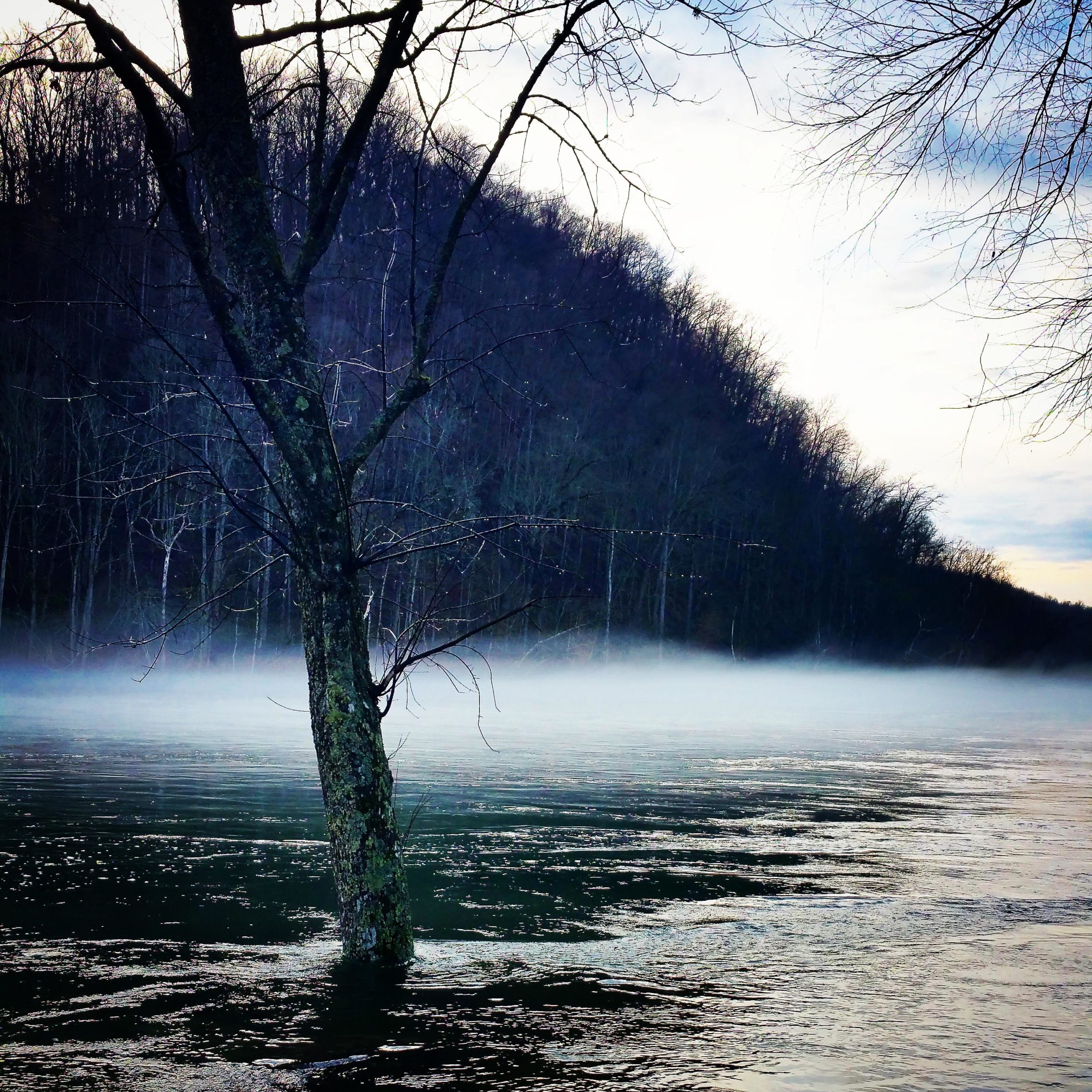
Great trails with lots of nice hills. If you go dont pass up the oppertunity to take the lakeside loop. One nice thing about Norris is that is dries up very quickly after the rain. Turn right out of the parkng lot on the other side of the road from the muesum and go down about half a mile there is some "hidden" singletrack off to the left that can add another 45 minutes to your ride. Don't forget to cool down in the river when your done.
| Thank