×

|
Rate it:
Tags:
Level: Easiest
Length: 8 mi (12.9 km)
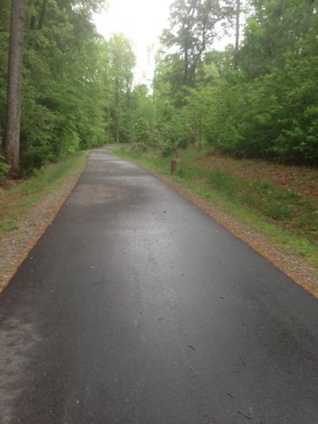
Surface: Greenway
Configuration: Out & Back
Elevation: +339/ -346 ft
Total: 47 riders
Mountain Biking Neuse River Trail
#214 of 554 mountain bike trails in North Carolina
It is a nice trail that I like to ride after work. It has about 3.5 miles of gravel road with nice boardwalks across marsh regions and then about .5 miles of nice single track through the woods. Just about all the track through the woods is up hill and there is a killer climb about mid way.
At the end of the trail there is a parking lot where you can turn around.
First added by Pambucol on Feb 16, 2007. Last updated May 6, 2020. → add an update
Before you go
- Drinking water: unknown
- Lift service: unknown
- Night riding: unknown
- Pump track: unknown
- Restrooms: unknown
- Fat bike grooming: unknown
- E-bikes allowed: unknown
- Fee required: unknown
This trail information is user-generated. Help improve this information by suggesting a correction.
Go on 64E heading out of Raleigh and take a right on N Rogers lane.
Park at the end of the road on your left in the parking lot.
(Here is the Google Map location:
URL)
The trailhead is marked and you will go toward the left. If you turn right you will end up at the canoe boat launch

The trail has recently had an addition 26 miles or so of additional greenway trails and bridges. It originates at the horseshoe farm park and travels south east into Johnston county. In the near future the northern leg will connect the upper trail from falls lake to the bridge at hwy 401.
| Thank