×

|
Rate it:
Tags:
Level: Intermediate
Length: 7 mi (11.3 km)
Surface: Singletrack
Configuration: Network
Elevation: +112/ -167 ft
Total: 64 riders
Mountain Biking Musquash Conservation Area
#12 of 114 mountain bike trails in New Hampshire
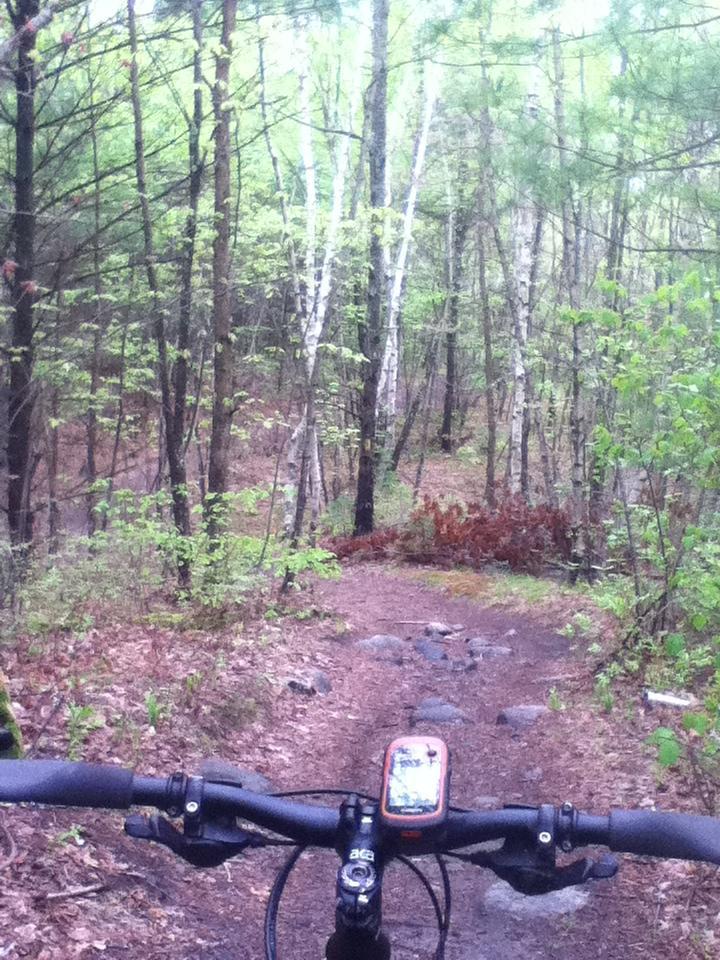
Really nice, quiet trail system with several interesting loops. You can spend the better part of a Saturday winding around the connecting trails. Some short climbs, two fun berms on the Landing (heading east in from the Litchfield side), an excellent descent from Overlook, and nice tight singletrack on the Betty Mack. Rocky, rooty and occasionally swampy, it pays to bring bug spray. If you are unfamiliar with the area, stay on blazed trails or you could end up with a long, disorienting, unintended visit to Litchfield State Forest on the other side of the powerlines.
Here's an excellent PDF map of the area: http://www.shavings.net/images/maps/MTB/musquash.jpg
First added by Erinys on Sep 19, 2004. Last updated May 1, 2020. → add an update
Before you go
- Drinking water: unknown
- Lift service: unknown
- Night riding: unknown
- Pump track: unknown
- Restrooms: unknown
- Fat bike grooming: yes
- E-bikes allowed: unknown
- Fee required: unknown
This trail information is user-generated. Help improve this information by suggesting a correction.
Approved parking available at the following locations:
Hickory Hill Drive - Parking available at Hickory Hill Drive dead end. Trailhead is on far side of powerline cut.
Alexander Road - Street parking available. Trail access from Alexander Road (becomes dirt road prior to trails).
Sara Beth Road - Street parking available. Trailhead is in the powerline cut.


JacksPerson, my gf and I had an awful experience "going up a down trail". Would you mind sharing recommendations on how to ride the Musquash trails so we avoid a repeat? I'd like our first time there to be enjoyable.
Thanks,
Andrew
| ThankNice local singletrack. I ride there as often as I can.
| ThankOnly spent about an hour or so here but like it very much so far. Found a couple of spots to grab a little speed and even found a bunch of rocks that I can't comprehend someone actually riding through, although I'm new so I'm sure someone with more skill could. Will definately be back soon.
| ThankRode for the first time: Deer Trail, Landing, Porcupine, Overlook, and Betty Mack. ST trails technical with many rock gardens throughout at times making it difficult to get a good flow/rhythm going. Double track trails less technical with more opportunities for some speed. Not lots of elevation but enough short ups/downs to get the blood flowing. Add in a few features/bridges and it provides for a challenging ride that keeps your attention. Very well marked with maps & corresponding junctions numbers at most trail intersections. This is a ride where you don't want to stop much, because the mosquitos & horse flies are ferocious with swamps/wetlands throughout the trail system.
| ThankRynil2000:
After looking at a map I am certain you were not in Musquash. That whole area is a mess.
The popular and most practical entrance is on Hickory Hill Drive which is off of High Range Road that runs from Hudson to the back of the Manchester Air Port.
Hickory Hill Drive
Londonderry, NH 03053
Look here, and try it again, I promise you wont be disappointed:
| Thankhttps://plus.google.com/116845551783657783089/about?gl=us&hl=en
Local to the trail. Love the fall riding in here. No mud or bugs. Just make sure to wear orange as hunting is allowed. Also there is a gun range near by so you will hear shots. Main trails had very little leaf cover. The more advanced trails did have a fair bit of cover thought. For a general review I always find myself wondering why builders didnt use a few rocks here and there to add some features to the trails. There is a small drop on part of Deer Run if you like those besides that relatively featureless riding.
| ThankWith some of the storms around, Musquash has weather things quite well - make sure you wear hunter orange in the fall, as this place seems to draw them in, especially being so close to a shooting range. Trails are in great shape this fall.
| ThankRiding here is great; especially at night! Great trail network that you can jump on from various parts of Londonderry and Litchfield. The way they maintain the trails and the pride they put Into their trail marking/maps is impressive. I like it here more every time I ride it.
| ThankThis is becoming the home trail of a rider buddy, and I have to say I love it. We did about 2 hours of fast and flowy singletrack intermixed with great little technical sections (it seems half of the little hills are topped with mini-rock gardens), and the existing bridge work is great. After a few days' rain, things were dry and grippy, and the signage was outstanding. Almost every major intersection was numbered and had a map! This is a great half-day ride, maybe more, and classic NH riding. I'll be back at least twice more this year!
| ThankTrail system is a pretty decent one with a mix of fire road, double track, flowy single track and technical single track. I have been riding here this season almost once a week and have grown to really enjoy it. They are consistently working on the signage and improving the trails including adding new sections to bypass old beaten in ones and adding small bridges over wet areas.
| ThankHavent done all the trails but the ones ive tried were very nice. not to technical for beginners but enough to make most riders happy. biggest downside of trails are the markers, can be very confusing. recommend bringing map.
| Thank