×

|
Rate it:
Tags:
Level: Intermediate
Length: 7 mi (11.3 km)
Surface: Singletrack
Configuration: Loop
Elevation: +162/ -134 ft
Total: 58 riders
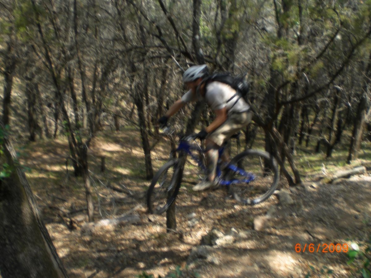
Mountain Biking Muleshoe Bend LCRA
#62 of 279 mountain bike trails in Texas
Fast ,tight ,twisty loop with a lot of short climbs. 80% shaded by ceder& misquet trees. Lots of sand, rock gardens, limestone out-croppings, and dirt. It takes 30min.-60min. a loop. Watch out for wildlife.
First added by searsandrewj on Jan 1, 2003. Last updated Apr 30, 2020. → add an update
Before you go
- Drinking water: unknown
- Lift service: unknown
- Night riding: unknown
- Pump track: unknown
- Restrooms: unknown
- Fat bike grooming: unknown
- E-bikes allowed: unknown
- Fee required: unknown
This trail information is user-generated. Help improve this information by suggesting a correction.
From Austin take Hwy. 71 west towards Marble Falls(not to)after crossing the Perdanles River,maybe another mile or so. Take a right on Paleface Ranch Road(the only way you can go) for 2 or 3 miles, then turn right onto County Road 413 it will dead end into the park


only 6miles trail but if you take inner loop between the main loop it will add up to around 8 miles the inner loop is very fun. and it loop back to main trail so you can do as many as you want. I like first half of the trail. 1 to 4 is the best part and inner loop B is awesome, mostly single track path. leave on the ground do make it a little slippy. prefect for summer a lot of shaded from beautiful trees.
| ThankThis was a really fun trail system. The trails were clearly marked and rated well. The blues had some fun challenges.
| ThankFast and fun, best thing you can ride for $5 west of Austin. The trail flows of some gravel and baby headed topography. There is not much climbing, but there are some Austin technical ledge-y bits on loop B & D.
| ThankVery fun and fast trail. You won't have to worry about bringing lots of supplies because the parking lot is always close by. This trail reminds me of a roller coaster... lots of medium sized ups and downs. Very beautiful out here.
| ThankSticking the main trail is a nice ride. Taking the extensions create a much more technical ride. Solid long sections of technical pedaling, a difficult switch back, and some nifty tree dodges can be found on the extensions. If the trail was twice its current length and had a few progressive trail features, it would be stellar.
| ThankFun, twisting singletrack with a few short hills and small obstacles. Easy enough for a beginner if you walk a few sections. Fun enough for an intermediate rider.* Review edited 6/23/2009
| Thankrode this one yesterday. i had a blast on the trail, nothing too difficult but definately a lot of fun. as others have said, its a very fast trail. this one offers a variety of terrain, mostly hard pack dirt, sand, and loose gravel which is sure to keep you on your toes. there are a few ledges towards the end which will offer somewhat of a challenge. what i found to be the biggest challenge though was controlling your speed through sandy or gravely turns. i slid out a number of times but was able to maintain control...barely. a great trail and a cool park.* Review edited 12/8/2008* Review edited 12/8/2008
| ThankRide the trail, but spend the rest of the day on the "beach: at the flats or jump off some cliffs if it is still legal
| ThankThe description of this trail is accurate but the rating is not. Overall rating should be 6, Aerobic 8, and technical 5. This track is a good begginer course.
| Thank