×

|
Rate it:
Tags:
Level: Intermediate
Length: 7 mi (11.3 km)
Surface: Singletrack
Configuration: Network
Elevation: +200/ -172 ft
Total: 24 riders
Mountain Biking Montvale Trails
#66 of 300 mountain bike trails in Virginia
A developing trail system with 6.75 miles of handcrafted singletrack completed. Part of the Bedford County Trails system. Located between Roanoke, VA and Bedford, VA, on US 460.
Features a nice mix of easy, intermediate and expert labeled single track with a dirt access road running up the middle (sort of). The access road serves as a self-powered lift line for getting back up to the top, vertically-speaking.
First added by bigmountainriding on Mar 11, 2010. Last updated May 2, 2020. → add an update
Before you go
- Drinking water: unknown
- Lift service: unknown
- Night riding: unknown
- Pump track: unknown
- Restrooms: unknown
- Fat bike grooming: unknown
- E-bikes allowed: unknown
- Fee required: unknown
This trail information is user-generated. Help improve this information by suggesting a correction.
From Lynchburg-460W to Montvale, pass elementary school on left, turn left directly across from the "Roadside Market" onto Quarterwood Rd. Go approximately 1.5 miles and the entrance is on your left.
From Roanoke: 460E to Montvale, you will pass Buchanan's Auto Auction on your Right and then you will take your next Right onto Quarterwood Rd. Go approximately 1.5 miles and the entrance is on your left.


Great after work trail. About 7 mile loop that can be ridden either clockwise or counterclockwise. Two creek crossings that can be ridden or carried. Take west creek crossing when water is high. Well marked and maintained technical trail.
| ThankI love this trail system. It's not the longest system but it is quite flowy and well groomed considering how rooty the region is. The trails seem to drain better than most surrounding trail systems (Lynchburg), could have to do with more shale, etc.
The address is: 1092 Marketplace Dr.
Montvale, Va. 24122
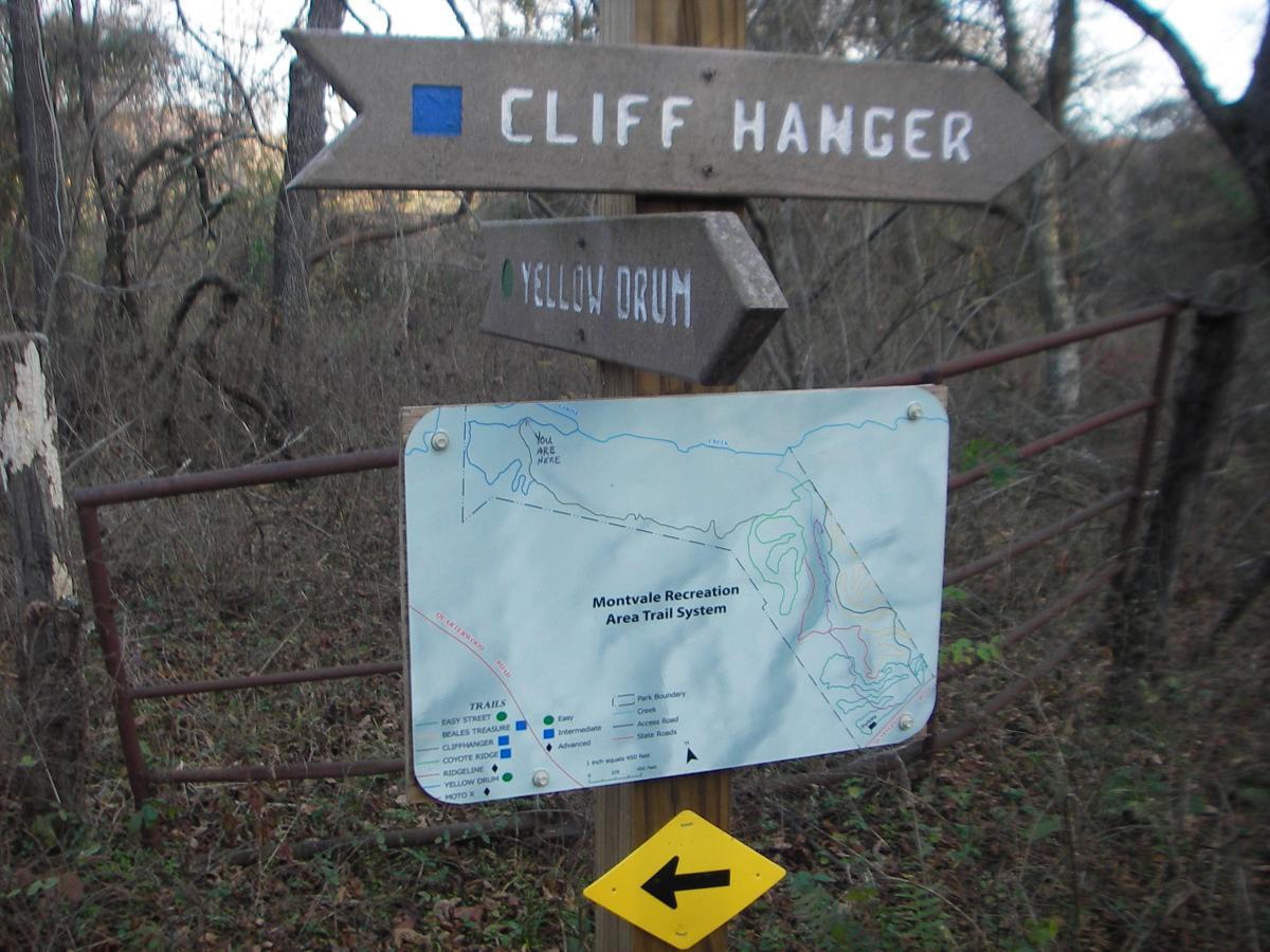
There is parking, restroom, covered area, walking track, water, and a map kiosk.
My prefered route is: Cross the creek/ left on Creekside/ left onto Beales Treasure/ left onto Easy Street/ left onto Ridgeline/ right onto Coyote Ridge/ left onto Moto X/ left onto Yellow Drum and runs back into Moto X/ runs into Creekside/ cross creek and out to parking lot.
As you can tell, I like to go clockwise here. Easy Street, Ridgeline, and Coyote Ridge all offer some good payoff.
| ThankNice fast and flowy.
| ThankSome nice flowy trails. Lots of fun to ride, although some trail intersections are not signed.
| ThankThe trails here are awsome. smooth and fast.
| ThankVery nice trail. You can tell that it is a newer trail and the builders knew what bikers want. Ranges from easy to pretty tough. Couple skinnies and log rolls. Mostly smooth with the occasional rock garden or root section. Snakes through hardwood forest alongside rolling farm land. Will be back for the flow again.
| ThankVery fun XC type trail system. Although there was heavy leaf cover on the ground when I rode it is obvious that these are fast flowing trails. Trails are well marked with map boards at some intersections. Creekside trails and bridge were washed out, but are now flagged. Creek is ridable if you don't mind getting your toes wet. Got a newbie you want to get hooked? Take them for a ride on Easy St., they'll be a Mountain Biker forever. Entrance to parking area is unmarked. It is the gravel drive on the left exactly 1.75 miles from Rt 460.
| Thank