From the parking lot, follow the paved path back towards the treeline and down the hill. The singletrack trail head will be down the hill on the right, well marked, too, so you won't miss it. And all road crossings have well marked trail heads as well. When you hit Watkins Rd, the next segment will be down/up the road on the right. Once you reach the river crossing, you've made it as far south as you can go. The other side is the current (10/12) northern most portion of the Seneca Creek Greenway Trail.
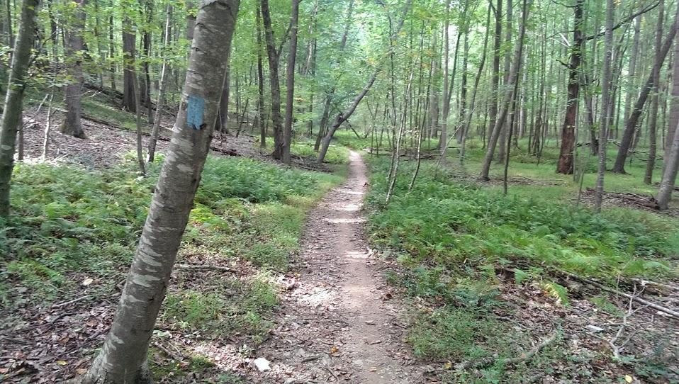
The singletrack is pretty good along this trail. Lots of roots in places, but all in all, well laid out, maintained, and a fun ride. The upper 2/3 of the trail (north of Watkins Rd, is higher than the water table and therefore pretty clean and not a lot of muddy sections. However, once you cross over Watkins Rd, the land gets a bit flatter and there are a fair number of places that could be soft and muddy, depending on the recent rain fail. I believe MORE has added a bridge at one stream crossing, should the water be too deep, and there are plenty of log sections and short bridges to get you over the really muddy spots.
All in all, a great trail and definitely worth adding to the ride if coming up the Seneca Creek Greenway Trail. You'll need to ford the river, which can be interesting if the water is high, but Lower Magruder is worth it. Really want a decent ride? Start up here and head all the way down to 355 and then back up the hill.


Found yourself at the top of Seneca Creek Greenway wanting more? Just ford the river and continue on the Lower Magruder for another 4 miles. A great little addition to the 6+ miles the Seneca Creek Greenway Trail provides, the Lower Magruder provides for a good ride and great workout.
| Thank