×

|
Rate it:
Tags:
Level: Intermediate
Length: 36 mi (57.9 km)
Surface: Greenway
Configuration: Loop
Elevation: +539/ -302 ft
Total: 22 riders
Mountain Biking Lake Guntersville State Park
#28 of 114 mountain bike trails in Alabama
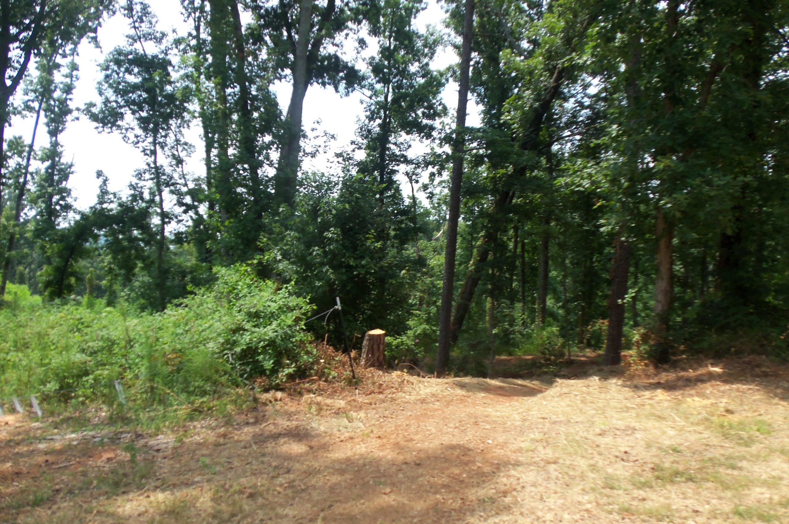
The hiking trails in Lake Guntersville State Park traverse moderate to difficult terrain and cover over 36 miles of park property. They are multi-use trails, serving as hiking, biking and horse trails. The trails are varied with some following alongside the banks of the Tennessee River, others lead to seasonal waterfalls and wildflowers, and some that peak your interest just by their name alone such as the Old Still Path and the Moonshine Trail.
First added by TrailAPI on Dec 31, 2002. Last updated Apr 28, 2020. → add an update
Before you go
- Drinking water: unknown
- Lift service: unknown
- Night riding: unknown
- Pump track: unknown
- Restrooms: unknown
- Fat bike grooming: unknown
- E-bikes allowed: unknown
- Fee required: unknown
This trail information is user-generated. Help improve this information by suggesting a correction.
By land the park is only six miles northeast of Guntersville on Highway 227. Guntersville may be entered via highways 431, 79 and 69.


My advice is to get a map. There are endless possibilties and zero back tracking. Multiple places to park and hit different trails. The golf course loop is super fast. Park at the golf parking and in the left hand corner there is a trail head. When you hit the blacktop you have the option of Taylor Mtn trail or stay on golf loop. I like hitting Taylor Mtn to Cemetary trail follow around to the service road to Tom Bevill loop back to cemetery and hit moonshine back to golf loop. This is a butt kicker and your a long ways from your vehicle so have fluids and whatever you need for a flat. Super rocky and tons of roots. There are some super downhills and heart shattering uphills. Trail is in good shape and well monitored, very beautiful scenery and alot of wildlife. Enjoy
| ThankDidn't get to ride all of the trails but some seemed neglected and overgrown. The golf course loop was very loose and sandy, no grip. But Waterfall trail is a freaking blast going down! That trail alone was worth the trip. And will be going back to ride the rest and waterfall a couple times ahaha
| ThankThe trails I encountered were fairly rugged. I was concerned about meeting walkers on the narrow trails, so kept my pace to a minimum. They are pretty much designed for hiking and biking is allowed. Probably worth at least riding once. I'm sure once you get to know them, the trails become more enjoyable. Not for beginners.
| ThankGolf course loop is a fun ride. Some fast downhills, pretty step climbs 3.9 mile loop golf course parking lot. Reverse it for heart rate raising 8 miles.
| ThankRode these trails a couple of months back....pretty good system...but the Cutchenmine Trail is by far the best for MTB....great views. and dead-ends into Short Creek.... I will go back just for this trail.
| ThankWaterfall trail - steep & rocky exhilarating coming down. damn near impossible going up.
| ThankGolf Course trail - fun nice berms
Butler pass - exciting somewhat technical
Moonshine - happy to be down technical ans loose.
Great trails, definitely worth riding. Signage is good, i'm a little slow it took me a while to figure out the arrows on the kiosk. Beautiful scenery all around.
| ThankI'm from Dallas where we have 32 trails with a wide variety of terrain. I find comments on trails I plan to visit on vacation very bad unless it's a truly great trail that everyone knows about. I was surprised by this trail because of very few comment. I was not expecting much and without a map it was hard to know where I was going. The trail head is on the left just after you turn on the State Park road but before the entrance to the park. My first day I took a few loops on the Terrill Trail and Kings Chapel Trail. Then took a left at Kings Chapel Cemetery which took me to an old road where I found another trail entrance for Tom Bevill Loop. This was a total of 10 miles and ~1400 ft of Elev. Gain. On my second ride during my vacation week I meet a local rider at the trail head who told me they were working on completing new loops up by the golf course and I should try it. I should also come back out on Wednesday night 5pm for the weekly group ride. I had some troubles following the trail since they are still being worked on as of this posting. I meet two other people working on the trail and they said they have much bigger plans for the trial but showed me a map that helped me understand where I should be looking for the trails. The new loop around the golf course is very new and sections are loose and sandy. I'm sure after a few rains and local riders pack it in it will be similar to some of the other smooth rolling and banked sections of the new loop. The second ride was 11 miles and ~2100 ft Elev. Gain but this was with a few detours and back tracking. If you run out of water at the top of the trail then you can stop by the Lodge, to the right of the entrance follow the pool signs (walk your bike) they have a coke machine with Gatorade that take $1,$5, $10 and will provide change. I have no doubt that I will be riding this trail again if we vacation here next year.
| Thank