×

|
Rate it:
Tags:
Level: Beginner
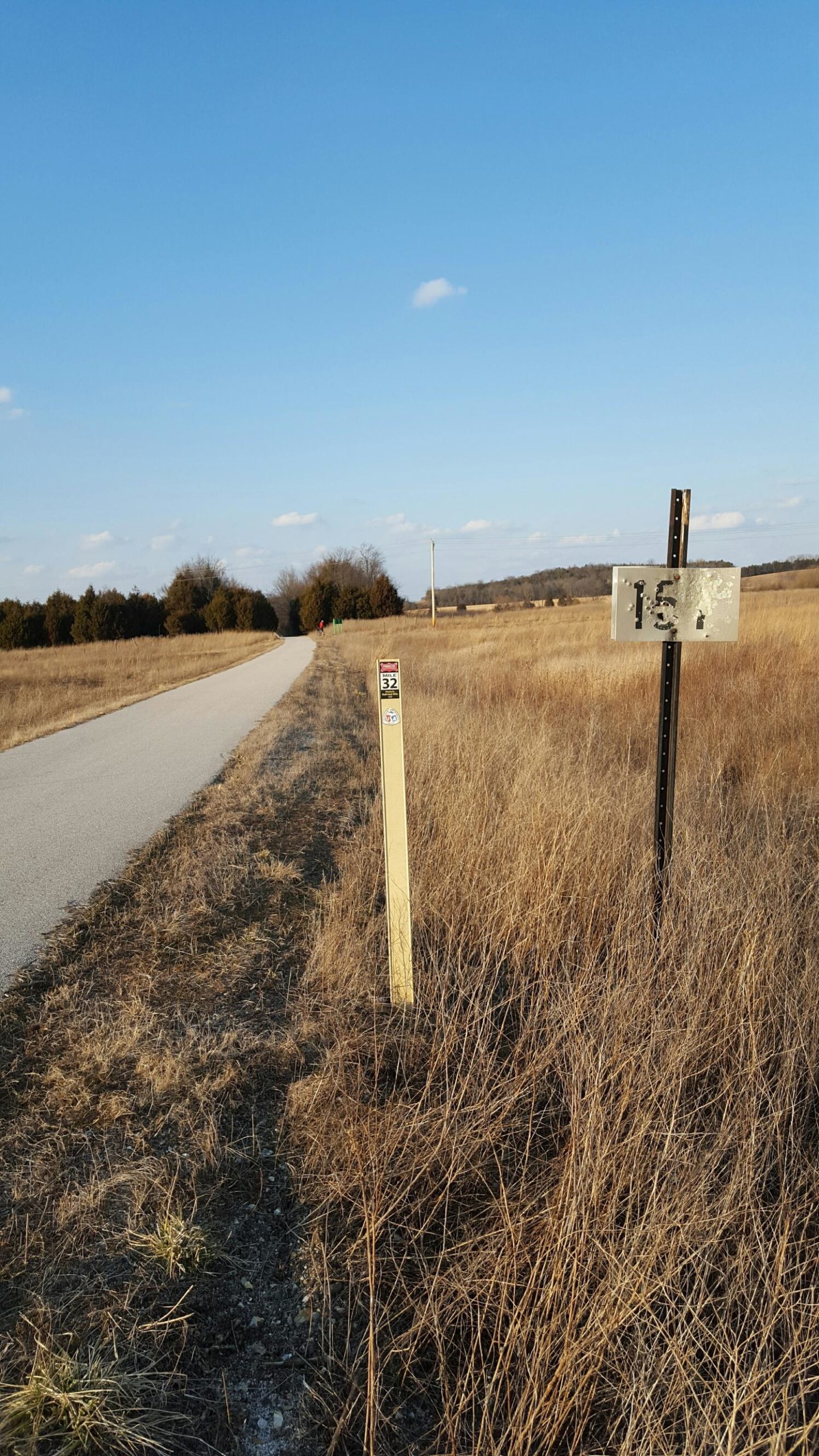
Length: 35 mi (56.3 km)
Surface: Other
Configuration: Other
Elevation: +203/ -190 ft
Total: 26 riders
Mountain Biking Frisco Highline Trail
#98 of 170 mountain bike trails in Missouri
Trail that covers an old Railroad track
First added by kentwelch on Nov 9, 2005. Last updated Apr 30, 2020. → add an update
Before you go
- Drinking water: unknown
- Lift service: unknown
- Night riding: unknown
- Pump track: unknown
- Restrooms: unknown
- Fat bike grooming: unknown
- E-bikes allowed: unknown
- Fee required: unknown
This trail information is user-generated. Help improve this information by suggesting a correction.
The trail begins in Springfield MO near the intersection of Ka** Expressway and West Bypass. It end in Bolivar MO near Broadway Street (HWY 32)


It is very flat most of the time. It was awfully marked but still fun to ride, if encase you want to get lost in the woods.
| ThankStayed on the paved and crushed gravel parts of this trail. The northern stretches from Bolivar are holding water in many places. We saw a lot of horse sign and motor vehicle tracks even though neither is allowed.
| ThankDo not be confused by the prior reviews, there is a section of single track here that runs parrellel to the old gravel rail trail. You will need to go to the trail access at this address:
Junction Cafe LLC
8376 W Farm Road 68, Willard, MO 65781
http://goo.gl/maps/jpcxe
Maintained trial runs about 4 miles in length, and the is less maintained trail beyond that. It appears to be marked with flags for future trail.
High ground is dirt packed and predominately quick up and down segments. Watch out for the low ground as you can hit some significant mud holes. Not real technical but is quite a fun ride.
You can pedal quick through this track because there are no steep climbs. If you get tired you can hop right up on the railroad trail.
The more people that ride this the better it will get.
| ThankThere is now Singletrack getting layed in between Willard (along hwy 123) and going to Walnut Grove. The Singletrack starts near junction cafe(intersection of hwy 160 & 123). The singletrack isn't all the way through to Walnut grove, a few more miles to go, but there's ~ 5-6 miles of smooth singletrack, good stuff for an early morning workout. If there are any horses on the singletrack or the graveled FHT, call the Sheriff, and let them know they are not supposed to be there; the FHT is private property held by Ozarks Greenways, it isn't public property, and horses are not allowed, as posted on signs on the trail.
| ThankThis trail is simular to the KATY trail, not as well maintained. Boring for mountian bikers, but tough on on road tandem
| ThankThis is not a mountain bike trail, it's mainly flat trail about 8 feet wide that starts paved and turns into gravel.
| ThankThis trail once was a train track. It is now packed gravel and is relatively boring for a mountain bike rider.
| Thank