×

|
Rate it:
Tags:
Level: Intermediate
Length: 1.6 mi (2.6 km)
Surface: Singletrack
Configuration: Out & Back
Elevation: +44/ -155 ft
Total: 89 riders
Mountain Biking Fletcher Creek
#59 of 552 mountain bike trails in North Carolina
This is described as a 9 mile loop from the trailhead for Fletcher Creek. From trailhead parking lot, ride back down gravel road. After concrete bridge, turn left on Wash Creek Road (FS5000). After proceeding up hill on FS5000 for about 2 miles, turn left onto Spencer Branch (watch for gate off of FS5000). Turn left onto Trace Ridge for about 50 feet, then take a right back onto Spencer Branch for some steep downhill. Spencer Branch dumps onto Fletcher Creek Rd--turn right on this gravel road. Turn left onto Fletcher Creek trail and prepare yourself for some sweet, fast singletrack that weaves in and out of dense forest and open meadows. You will cross several creeks. At Fletcher Creek, several trails intersect. Proceed straight on Flethcher Creek Trail, which ends at Hendersonville River Road. Continue straight on this gravel road back to the Trace Ridge trailhead.
First added by pisgahpickett on Jul 7, 2006. Last updated May 2, 2020. → add an update
Before you go
- Drinking water: unknown
- Lift service: unknown
- Night riding: unknown
- Pump track: unknown
- Restrooms: unknown
- Fat bike grooming: unknown
- E-bikes allowed: unknown
- Fee required: unknown
This trail information is user-generated. Help improve this information by suggesting a correction.
From Asheville, take I-240 west to I-26 east. Take Asheville Airport exit Exit 40 (old exit 9) and go south (right) on NC 280. Just past intersection with NC 191, make a right at the stoplight onto North Mills River Road and follow signs to the North Mills River Recreation area. Just past North Mills River Recreation Area parking lot, make a right onto paved Wash Creek Road (signed "5000"). Road soon becomes gravel. Turn left onto first un-gated gravel road (set off by an interesting concrete "bridge"), and follow this 0.5 mile to Trace Ridge trailhead and parking lot, elevation 2560'.


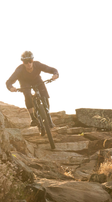


Really good fast flowy trail. It isn't as steep as the nearby spencer gap trail but it still picks up speed. My favorite part is the open meadows that you rarely see in mtb trails out here in the east coast. Make sure to start from the gravel road (Never Ending Road) and take it all the way down.
| ThankGreat to take a fly rod with you. Lots of bears and campers.
| ThankFrom trailhead parking lot, ride back down gravel road. After concrete bridge, turn left on Wash Creek Road (FS5000). After proceeding up hill on FS5000 for about 2 miles, turn left onto Spencer Branch (watch for gate off of FS5000). Turn left onto Trace Ridge for about 50 feet, then an right back onto Spencer Branch for some steep downhill. Spencer Branch dumps onto Fletcher Creek Rd, turn right on this gravel road. Turn left onto Fletcher Creek trail and prepare yourself for some sweet, fast singletrack that weaves in and out of dense forest and open meadows. You will cross several creeks. At Fletcher Creek, several trails intsersect. Proceed straight on Flethcher Creek Trail which ends into Hendersonville River Road. Continue Straight on this gravel road back to Trace Ridge trailhead.
| Thank